Sailing & Other Adventures

Category: Australia (Page 1 of 5)

Kakadu, the final leg

Leaving Lake Argyle we were quickly across the border into the Northern Territory. After a convenient overnight free camp by the road we were on our way through Katherine to Nitmiluk National Park – specifically Edith Falls on the north side of the park. We had stopped here on the way south but it was closed due to excess water, excess crocs, or excess something.
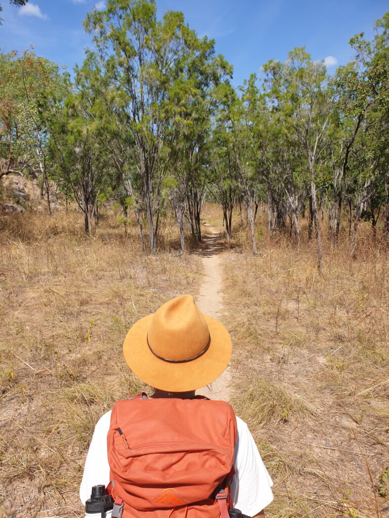

We spent the night at the camp site at the falls, and were pretty excited to do the walk to a waterhole called “Sweetwater Pools” the following day. The walk was only a couple of hours so we enjoyed a leisurely breakfast, before heading off to enjoy the hottest hours of the day. Fresh buffalo (or massive cow) poop on the track indicated possible excitement although we didn’t find one to play with. After reaching Sweetwater Pools, we had a beautiful swim, and decided that we would swim in every other waterhole we had passed on the way up. We managed 3 freshwater dips in crystal clear water on the walk back from Sweetwater Pools, managing to stay wet for the entire trip back despite the best efforts of the midday sun.

With the number of days available to us dwindling, we had some unfinished business to attend to – Kakadu.

We had run away from Kakadu during the first week of our trip due to excess swarming masses of bugs, excess mosquitos the size of pterodactyls, and excess things being closed. The bugs and mosquitos hadn’t changed apparently, but most of the park was open now.

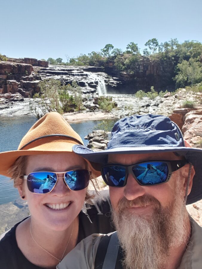
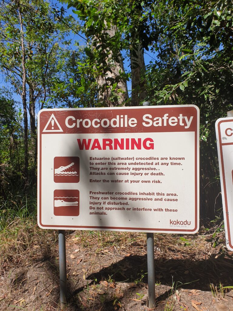
Our first stop in Kakadu was Maguk campsite conveniently located near another water fall. This sign is amusingly placed just before the path crosses the creek and heads up to the swimming hole.
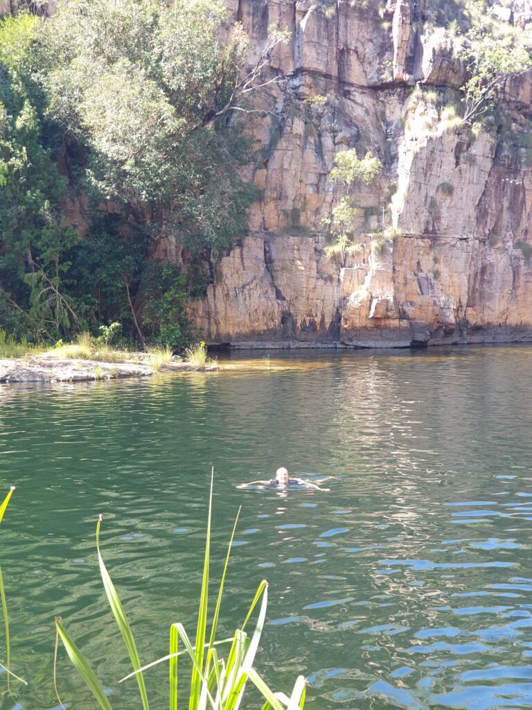
We assumed yummier people had already passed this way so we would not become lunch today. The waterhole was reasonably easily accessed and we had a beautiful reintroduction to Kakadu in the warmest freshwater pool we had been in the whole trip. We could see the bottom many metres below us, and watched the fish check us out.
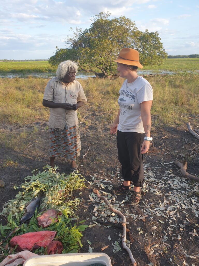

We had a few days planned here, and the lure of collecting and cooking bush tucker with a local guide was enough for us to sign up for the “Animal Tracks” tour located deeper within the park. Its been going for 20 years and still uses the same windowless troop carrier and dishevelled tour guide… We knew we were onto a winner. We picked up Patsy who had lived here all her life, and with her guidance we made baskets, dug for tubers, avoided buffalo, ate green ants (they taste lemon-y and are used as medicine), and turned leaves into string.
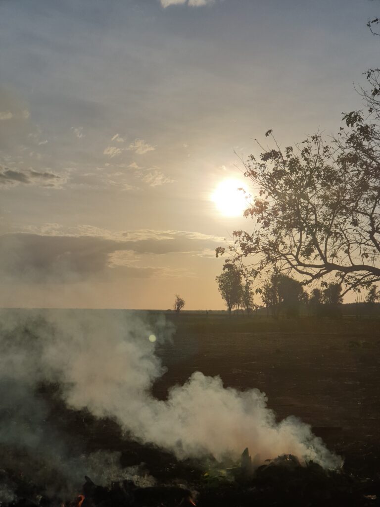
As the sun set over the wetlands, we cooked our dinner on the hot coals in a paperbark and eucalyptus oven. On the menu was fresh tubers we had foraged, wild buffalo, wild pig, and wild freshwater barramundi. Patsy warmed up to all of us and was delightful to spend time with. We watched the sun set, and the pterodactyls rise, and skedaddled off back to our camp, swerving to miss the 2m long olive pythons that like to warm up on the road at night soaking up the last warmth of the sun from the tarmac.
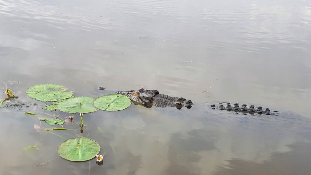
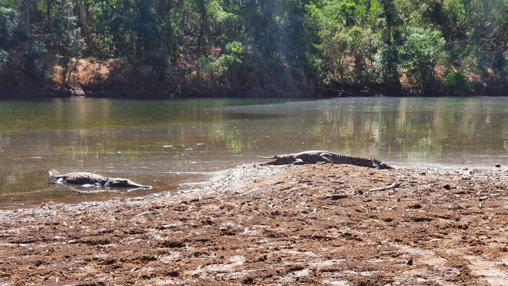
Our final night in this wild park was spent on a river cruise at Yellow water near our campsite. The pterodactyls don’t come out until after the sun has set (unlike in other places where they come out at dusk, or just stay all day) and so we felt safe to be out and about at this time. The cruise took us through the wetlands, and is primarily used to educate tourists on the fragility of the environment, and the uniqueness and importance of this park. It was wonderful to see the wetlands from this vantage point, and we were fortunate to see a lot of crocodiles! These are esturine (or salt water) crocodiles and are definitely a danger to humans, so we stayed safely within the boat.
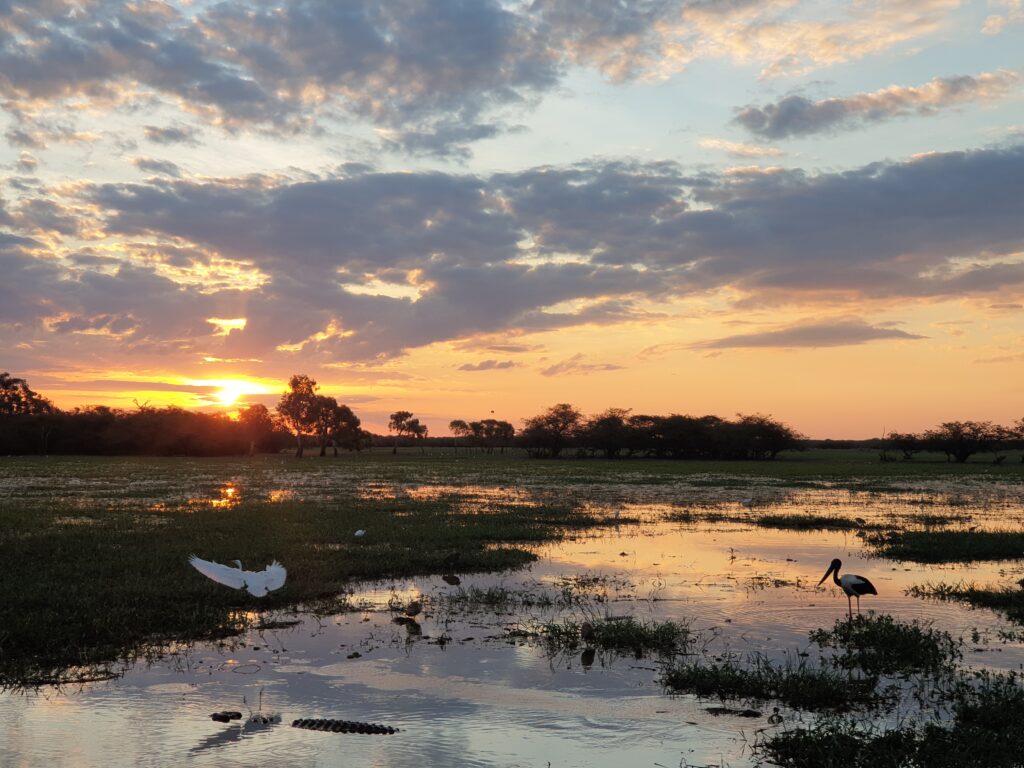

A couple of days later, while relaxing by the pool at our hotel in Darwin, we were reminded of this magic sunset cruise. A tall, daringly tanned, rotund gentleman explained to his friends, rather too loudly, that Kakadu was not the place to see wildlife. We recalled the sunset cruise, and the moment we were surrounded by half a dozen salt water crocodiles a few metres away snapping at passing fish, jabirus (AKA black necked storks) sorting out squabbling geese whilst other wading birds watched on, sea eagles returning to their nest as wild pigs and buffalo crossed the wetlands. Hmm, no wildlife.
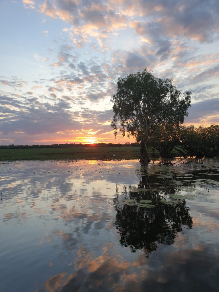

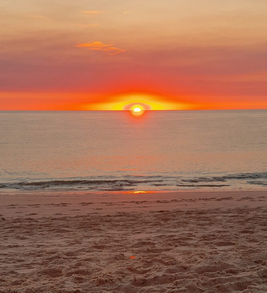
After 13000 km our outback trip was fading into another fiery Kakadu sunset. The rumble of the swag carrying V8 Land Cruisers had been diluted by the hum of soft roaders. The 4WD outback buses full of adventure seeking back packers had been replaced by luxury coaches spewing clean, perfumed, white shirts and sun hats on day trips from Darwin. Attentive tour guides rushed wheelchairs to those overcome by the few hundred metres stroll to todays instagramable shot.

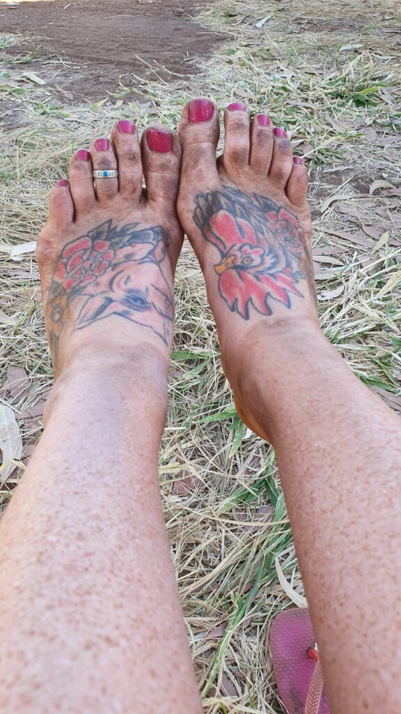
We had for a moment become the red dirt gypsies seeking the road less travelled, shunning mass tourism and the trappings of a city life. Our dusty feet may eventually wash clean but it will take longer than we expect to slip back into our latte sipping inner city life and prepare for new adventures… Which are now not far Away.
More gorge gorging and less Ordinary rivers

By Fi

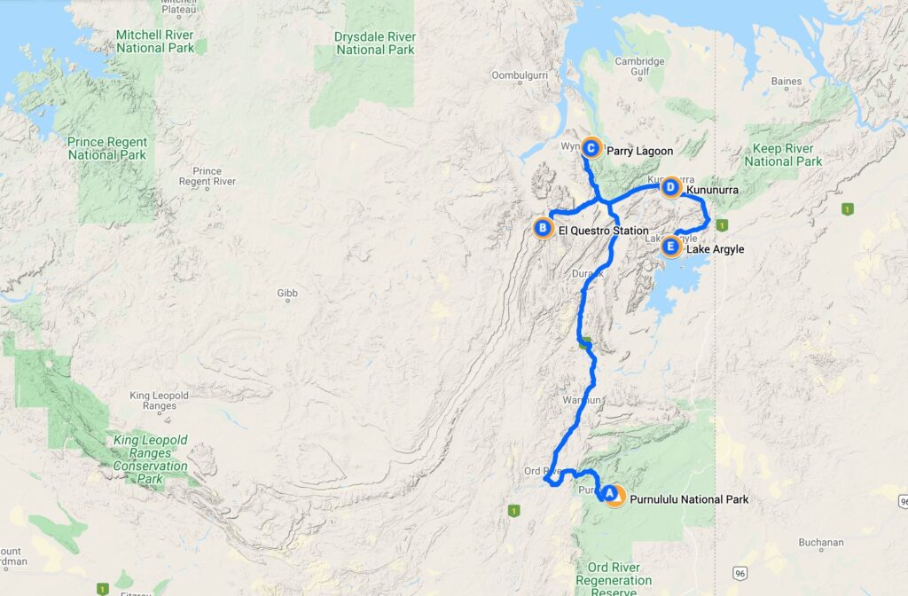
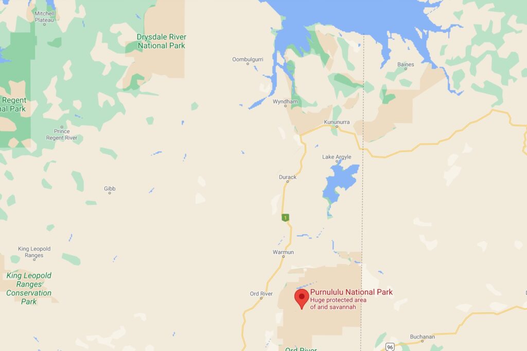
The time had come to exit Purnululu National Park, and continue our trip north. For the coming days, we would be exploring the gorges of El Questro as well as more of the Ord River Catchment area of Kununurra and Lake Argyle.

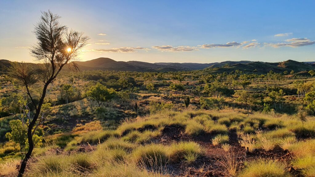
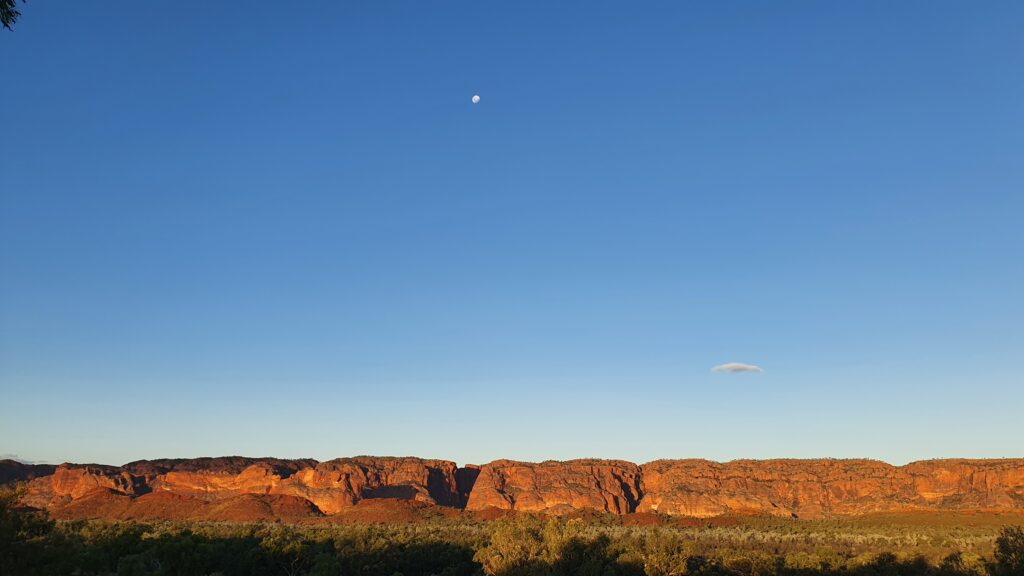
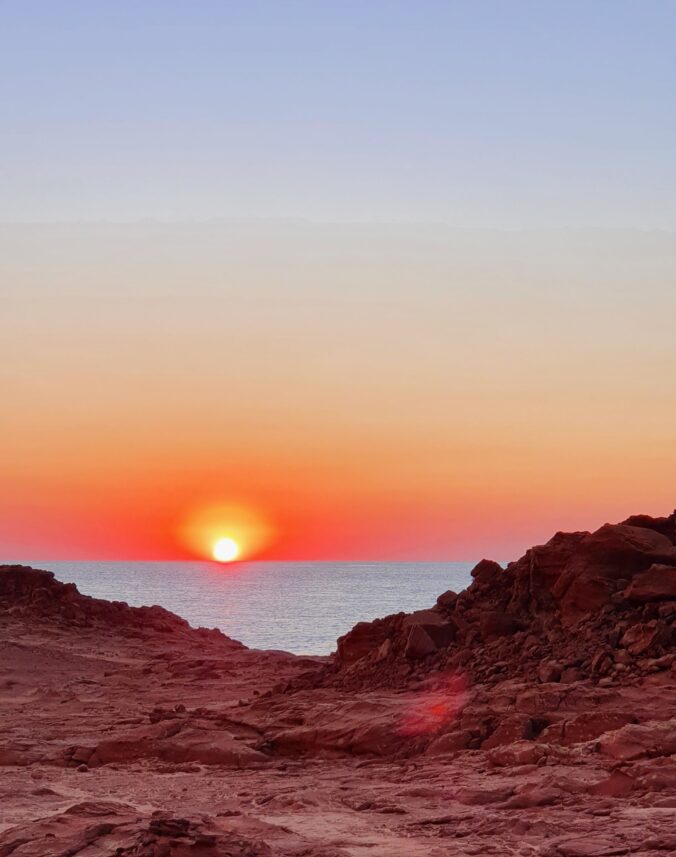
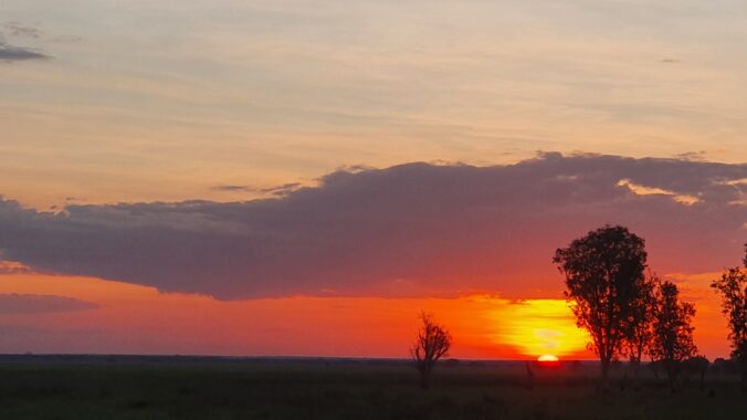
Pictured is out last sunset over the western side of the Purnululu National Park.


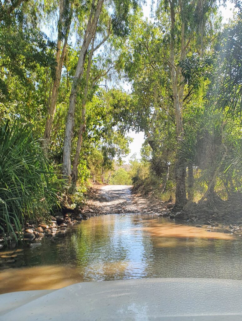
Heading in to El Questro, we were thrilled to drive through a bunch of water. Nothing so deep that said “you will need to have a snorkel on your car” but still enough for us to get a little bow wave going around the car, and wash the undercarriage (pictured is us going through this last wet section into the main accommodation areas).


Arriving in El Questro felt a little bit like getting on to a cruise ship for the first time. Check in Desk – “There is the bar, here are the tours, here is where you eat, and this is where you sleep – and these are the rules”.

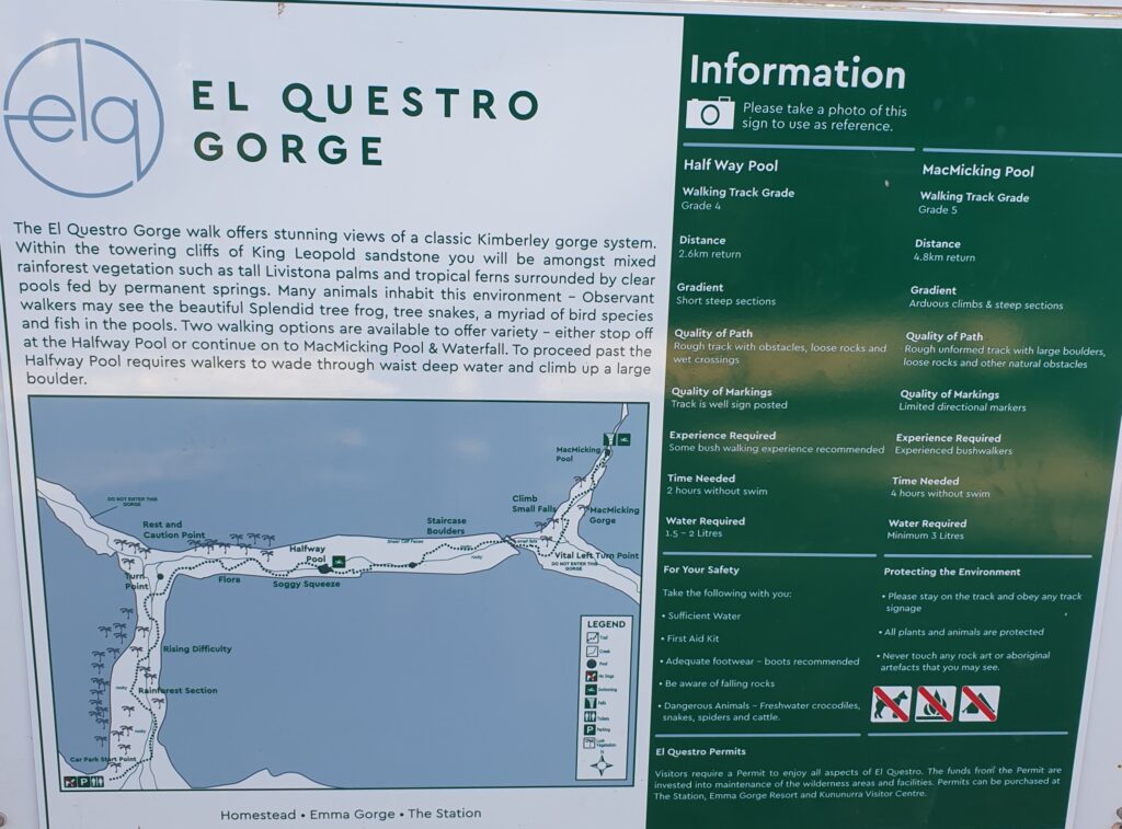
The walks here are supposed to be epic, and we had passed a few spots on the way in. Checking with one of the staff, Adrian discovered that most likely the “El Questro Gorge walk” (instructions and map pictured) would be the most interesting and challenging walk for us to do, with some swimming and beautiful scenery thrown in.


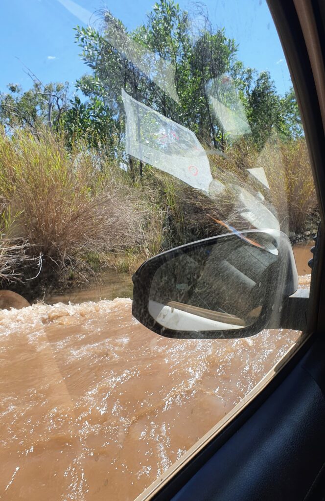
El Questro planned, we headed off toward the gorge where we were warned “you will need a snorkel to get into the gorge carpark”. And yes, we did… Pictured is the view from my passenger side window of the water half way up the door.


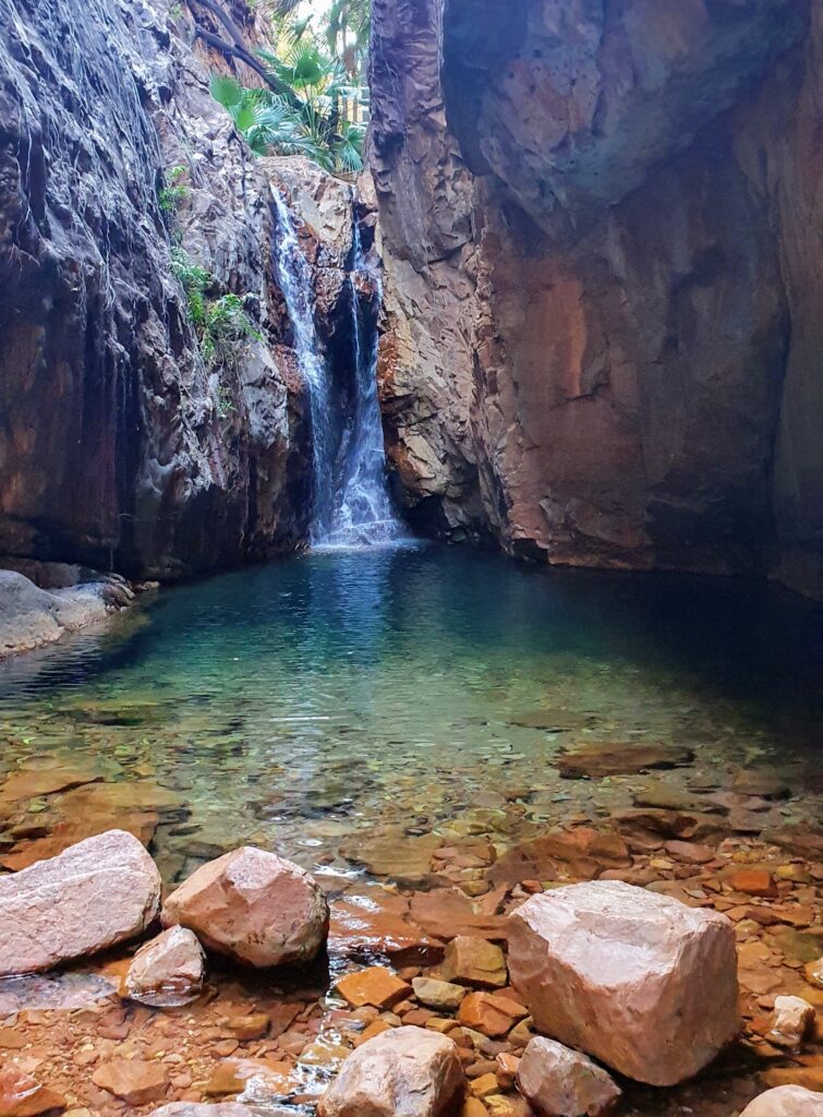
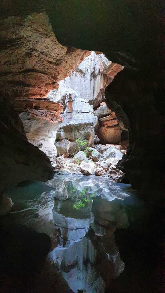
El Questro gorge was worth every water crossing, crowded campsite and corrugated road. The walk was technical, beautiful and we were able to have the most luxurious swim at the top of the gorge in the crystal clear blue water of the water hole, fed by a cascading waterfall.


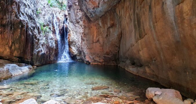
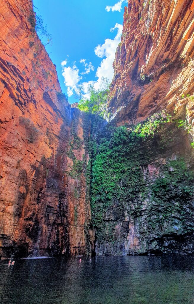
After the Gorge walk, we decided to also stop in and do another couple of hours walking at Emma Gorge. This was yet another spectacular gorge, with some beautiful swimming at the end. Possibly one of the most beautiful swimming holes we have been in (pictured).

Sufficiently gorged, we headed north towards a small remote camp site near Wyndham. Parry’s Creek is a conservation area, and supposed to be one of the most prolific bird spotting places in the area (we did see a lot of birds and would recommend to budding ornithologists).


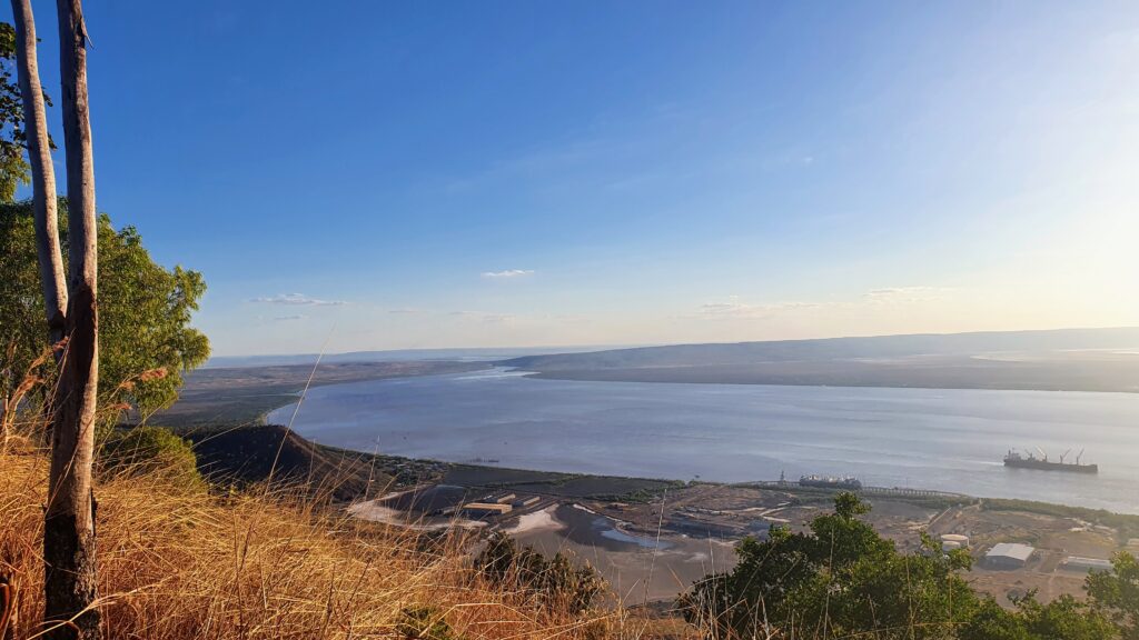
We also took a quick detour to Wyndham so I could show Adrian the 5 rivers lookout (pictured) which is one of the most spectacular views in the area. You can see the rivers branching off the estuary here. In this instance, photos definitely speak louder than any words I could possibly write to describe the amazing views. I had been here 2 decades before, and remember it being a lot more brown, but in front of me the lush flood plains spread out to the horizon.


After a great nights sleep, we left the sweet spot of Parry’s camp, and drove to Kununurra. Kununurra is a place I had seen before, and I was excited to show Adrian Ivanhoe’s crossing, the Stone Art Gallery, the Hoochery (although, now that we aren’t drinking, we opted for the Sandalwood Factory instead) and Lake Kununurra (pictured).


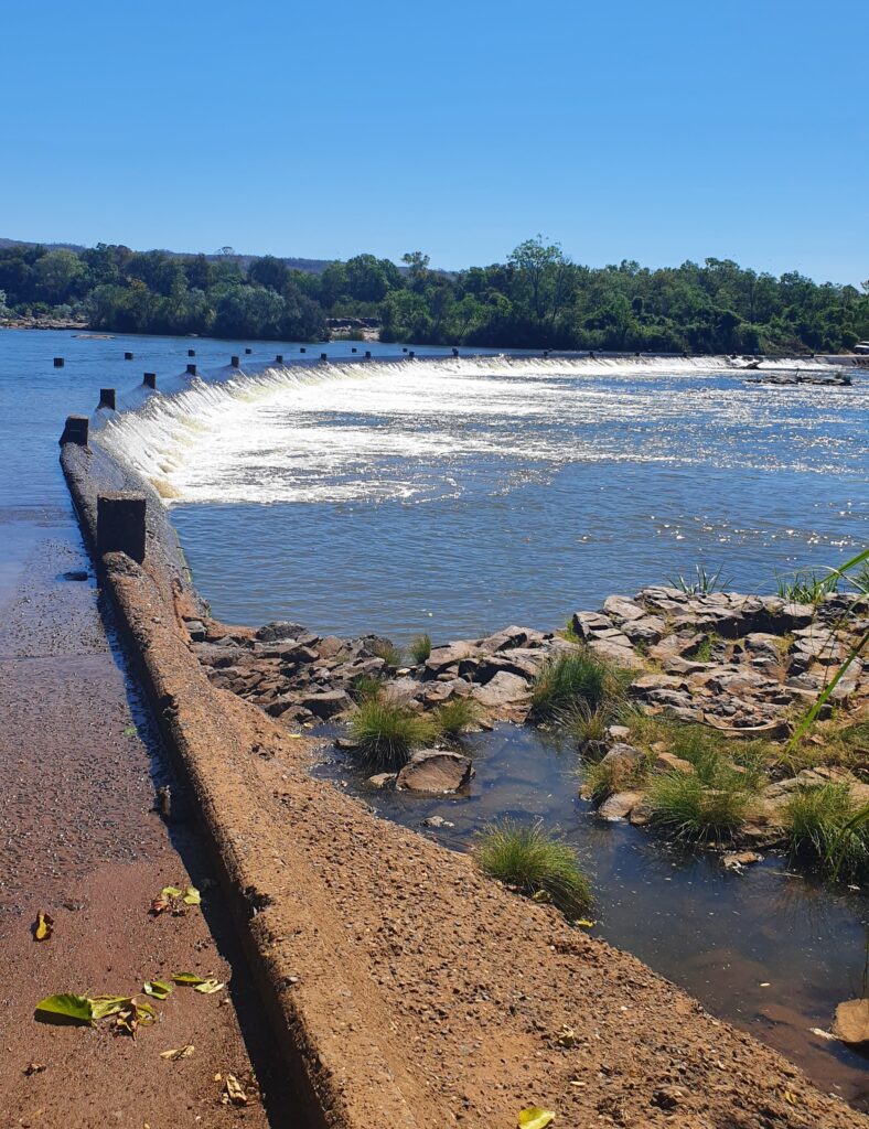
We did some much needed resupplying and enjoyed a gluten free treat at the coffee shop. Kununurra is positively cosmopolitan compared to when I had spent time there previously. Pictured is Ivanhoe Crossing, a road connecting the outer parts of Wyndham and the outer parts of Kununurra. It is under water year round, and closed when the waters are really running during and just after the wet season. Estuarine crocodiles (salt water crocodiles) are known to frequent this area.


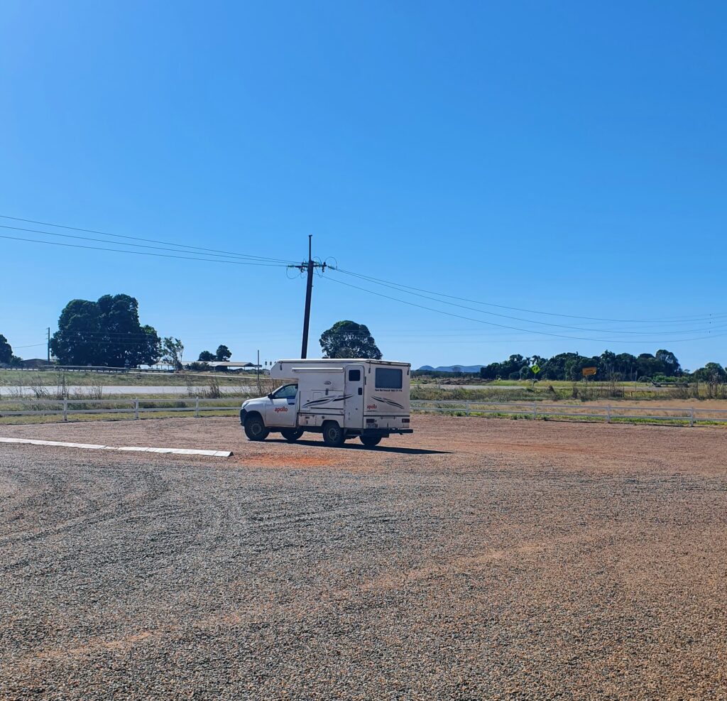
Kununurra was hosting the “Ord Valley Muster” and was therefore full of whip cracking, V8 driving, permanently tipsy people with very broad Australian accents. Being introverted, flat white sipping, inner west greenie types, we felt we might be taking up space for someone who would better enjoy the hive of activity. So, we stayed one night, then briefly marvelled at the prices of a small piece of sparkly pink rock (see Argyle Pink Diamonds in google if interested), and headed to Lake Argyle where we had booked a couple of evenings. Pictured is a fleeting moment of us being the only car at one of Kununurra’s attractions.


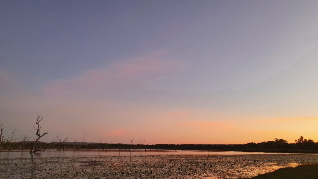
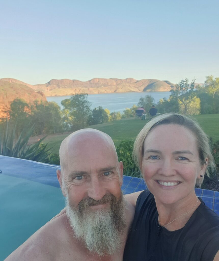
It was at this point we checked the date, and realised that the tourist season (AKA the dry season) was now in full swing, and that our days of quiet camping in secluded spots admiring the views were definitely over. Lake Argyle is a beautiful spot, and we took some time out to relax a little. We were planning some walks over the coming week across the border at Katherine Gorge and back to Kakadu. We felt that conserving some of our energy would serve us well to ensure we got the most out of our last week of touring. Plus we both got COVID jabs… More on that later.

Purnululu National Park

By Adrian & Fi


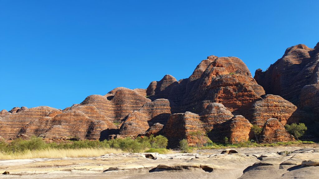
After our fun at Windjana and Tunnel Creek, we were keen to do some more walking and Purnululu promised some highly rated tracks.  We traversed the 53km of dirt road to our campsite within the park in the late afternoon with the rock faces turning red under the setting sun. 


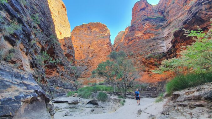
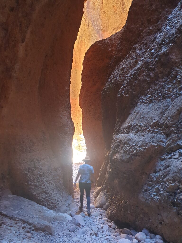
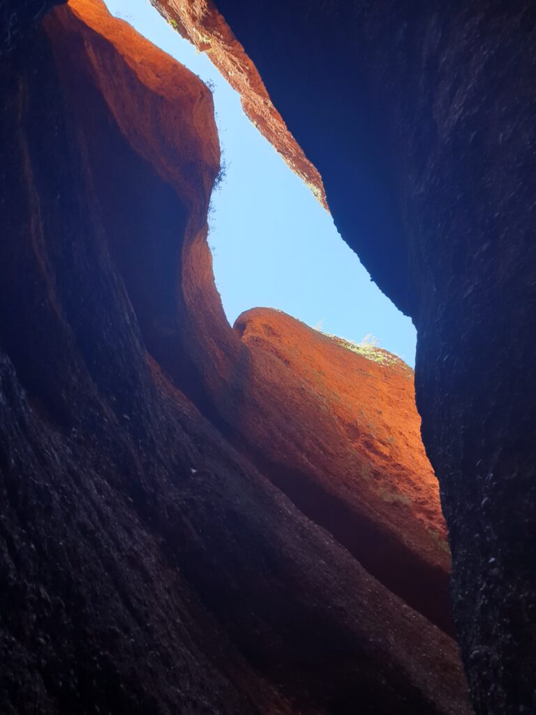
Echidna Gorge was a perfect option for our first day in the park, as it had been recommended as a ‘must do’ and more importantly needed to be started later in the morning to get the best light. The vertical sides of the gorge only a few meters apart made a truely etherial place where one could wonder at the forces and time that made such place. It was easy to understand the signs asking for respect as if it was a cathedral. The inevitable child calling ‘coo-EEE’  was stunned into silence when Fi warned him he might wake the sleeping baby micro bats just ahead – perhaps the only respite the parents got that day.


Later, we entertained ourselves at the ‘Fawlty Towers’ visitor centre. When they returned from lunch they explained how the internet, which had not yet reached the centre, was the only way to book the nearby campsite. There was a guest wifi which was private and a pay phone that no longer made calls so they recommended the 4 hour return trip to the highway to get reception to make a booking. 


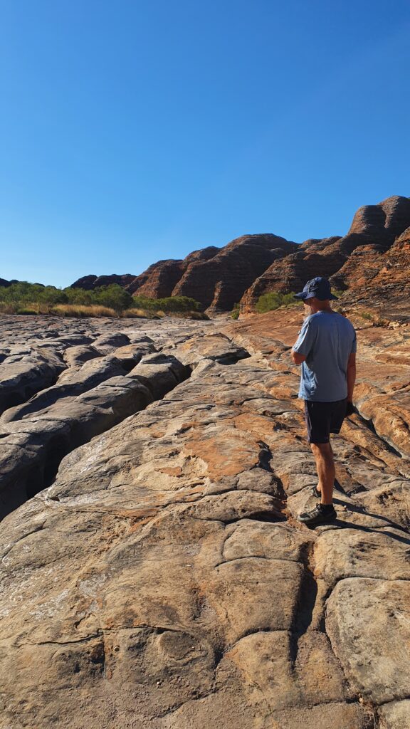
The next day we were treated to more spectacular gorge walks at the northern end of the park. It was becoming clear that the walks were a small taste of the the park and we were being carefully guided around much of the more interesting and presumably sensitive terrain. The only way to see most of the park would be from the air.


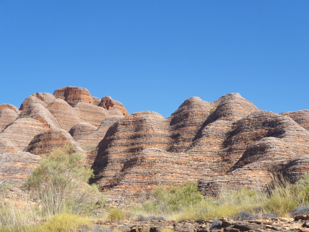
I had overheard a tour guide talk about dawn at the southern and eastern side of the park where the famous bee hive rock formations are. We made the risky choice to drive, pre-coffee, to the southern end of the park where we enjoyed the early morning light whilst making breakfast.


After a good breakfast, we walked along the river bed a few km to Whip Snake Gorge which was largely deserted and tranquil. A large number of cane toads rotted alongside the path, Appian Way style, although we didn’t discover how they met their demise. On our return trip from Whip Snake Gorge, we met the tour groups thronging into the popular Cathedral Gorge, which was accessed via a small detour at the end of our much larger walk . It was indeed reminiscent of any European cathedral, full of a hundred well dressed quietly spoken camera snapping visitors. Not really our thing, we exited quietly and returned to the car park. Interestingly, we found out, Cathedral Gorge was used in the famous Qantas advertisement where they put the kids dressed in cleanly pressed white robes into famous landmarks to sing “Still call Australia home”. Apt. 


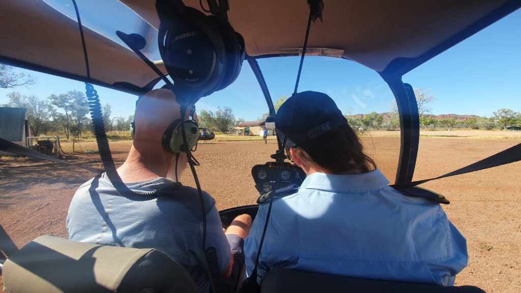
Next stop was the airfield for our aerial adventure. Fi had experienced the helicopter flight some 20 years earlier, and that was enough of an excuse for me to get the front seat.  As we had suspected, the vast majority of the park is off limits to the public. There looks to be some fantastic walking for the more adventurous with great access into the gorges along dry creek beds. However; I suspect if I was responsible for a land full of ancient paintings, tranquil gorges and sacred burial sites I would keep the coo-eee’s, the generators and the 4WDs to their own little corner.


Our longest stopover came to an end and we headed north for civilisation, vaccines, provisioning and a dose of nostalgia. 

Gibbish River Road

By Adrian

On our last morning in Derby, we had resolved to avoid the Gibb River Road and stay on the tarmac. The always dependable tourist information centre had advised it was un-graded and miles of slow bumpy road that serious 4WDs would enjoy… Not quite our cup of tea. Before leaving Derby, we headed out to see the towns main attraction, an old run down pier, where we happened across another Apollo snail. They had just completed the Gibb which was ‘in good condition and well suited to the snail’. It was a good morning for a plan change… Gibb River Road here we go. We ducked into the tourist information to check out camping information and they confirmed the road was now in good condition…


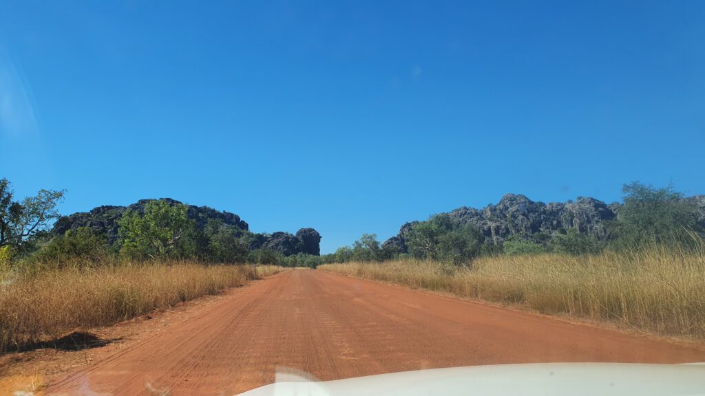
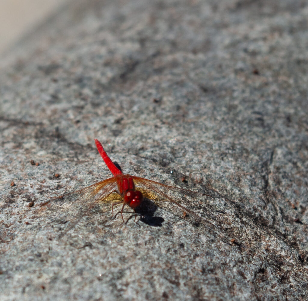
As it turned out the mighty Gibb is a veritable highway of well graded dirt conveying a procession of caravan towing nomads and frustrated 4WD enthusiasts. Our first stop for the night was Mount Hart some 50km from the main road with creek crossings full enough to justify low range and kindle feelings of remote outback adventure. We knew we were in the real outback when the the camp host complained of a snake under her chair and a group of 4WD campers cut firewood at breakfast with a chainsaw. A short drive from the camp site a small gorge provided a cooling swim, an array of bird life, our favourite red dragonflies and the back half of a slithery friend.


From Mt Hart we headed to Manning Gorge, described as the highlight of the Gibb, by our fellow Apollo snail travellers. The walk to the gorge requires a short swim across a freezing croc infested river before trekking through fields of vibrant wild flowers and finally descending into the gorge. Nothing could have prepared us for the huge volume of water surging over the black rocks and into the large swimming holes. A small ledge behind the waterfall provided a welcome rest after the excitement of swimming through the cascading water. All walks in this region should be modelled on this one with a refreshing river crossing to finish.


The next morning, we realised that we hadn’t changed plan for several days. Having completed the ‘highlight’ of the Gibb experience we decided to change plan and turn back. Behind us was Mornington (wildlife refuge far enough off the highway to deter many), Tunnel Creek and Windjana Gorge. After discovering Mornington was closed we headed to Windjana Gorge camp ground and walked up the gorge the next morning. Here you are allowed to get your selfies with the crocs but not swim in their river.


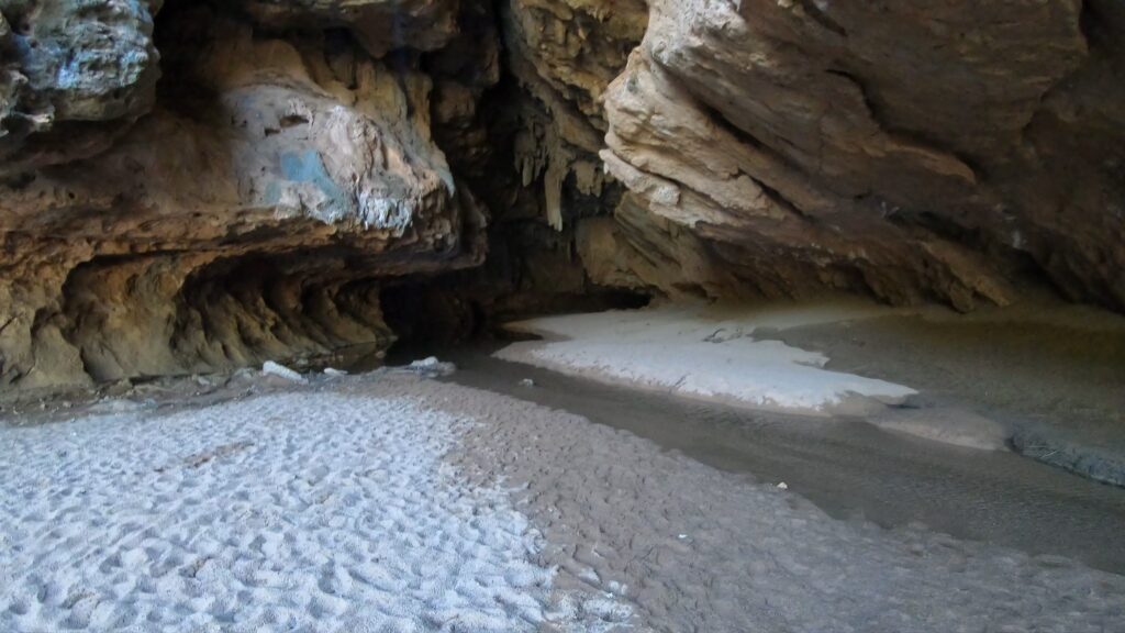
Tunnel Creek is one of those rare adventures still allowed on the modern tourist track. We followed the hot rocky path to a fissure in the cliff where the creek disappeared into the cool darkness. Wading gave way to swimming through freezing water under the watchful eye of the resident croc (we didn’t spot him but someone pointed him out on the return trip). After 750m the creek emerges into a delightful tree lined pool and aboriginal paintings.


Refreshed we headed south towards tarmac and Fitzroy Crossing collecting a Boab nut on the way. The red mountain ranges of Gibb gave way to horizon to horizon flatness so vast that we could see the flatness of the earth. Mimbi Caves was our next stop. Mimbi, meaning caves in local language, had a delightful campsite with great sunsets. The ‘Caves Caves’ tour the next day took us through the passages inside the local hills, past some local art and described how the locals had lived here for 50 000 years.
Next stop was Purnululu national park (Bungle Bungle’s).

Sweeping up the coast via Broome


By Fi

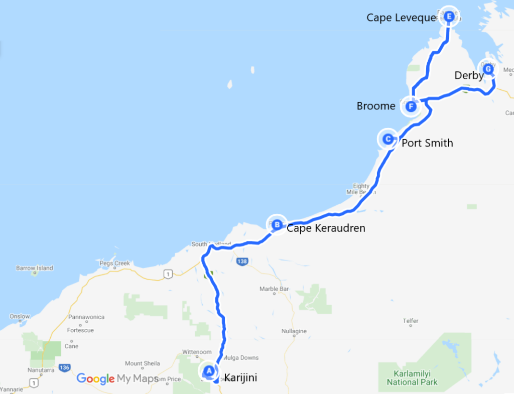
We last left off exiting Karijini National Park due to the unfortunate rain. I was excited in a way as I seem to continue to gravitate towards the coast, and this is where we were headed again – to Broome via Eighty Mile Beach.


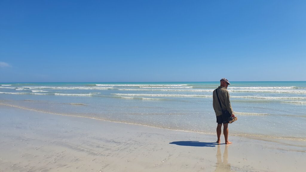
Our first stop would be on the beach. We found a conservation reserve called Cape Keraudren that had a campground perched on a cliff with stunning views of the coast. With mobile phone reception, we took some time out to catch up with family. Alas, we later paid dearly for this time on the phone, with hundreds of sandfly bites, so a quick walk the next morning was enough, and we headed off further up the beach. Here’s a shot of Adrian apparently pondering the salt water at Eighty Mile Beach.


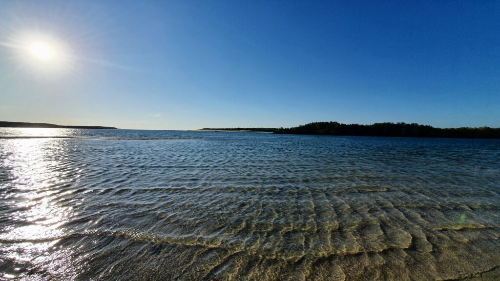
Our next camp we were hopeful would be sans sandflies. It was pretty good! Port Smith Caravan Park touted a picture perfect lagoon, and we wandered down the road for a quick dip. The people running the place assured us there were no problems with crocodiles, and in this case, and given the yummier people who had gone before, we had a lovely dip in the shallows.


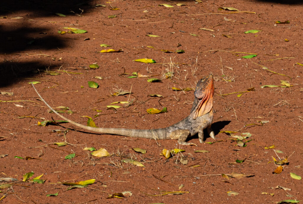
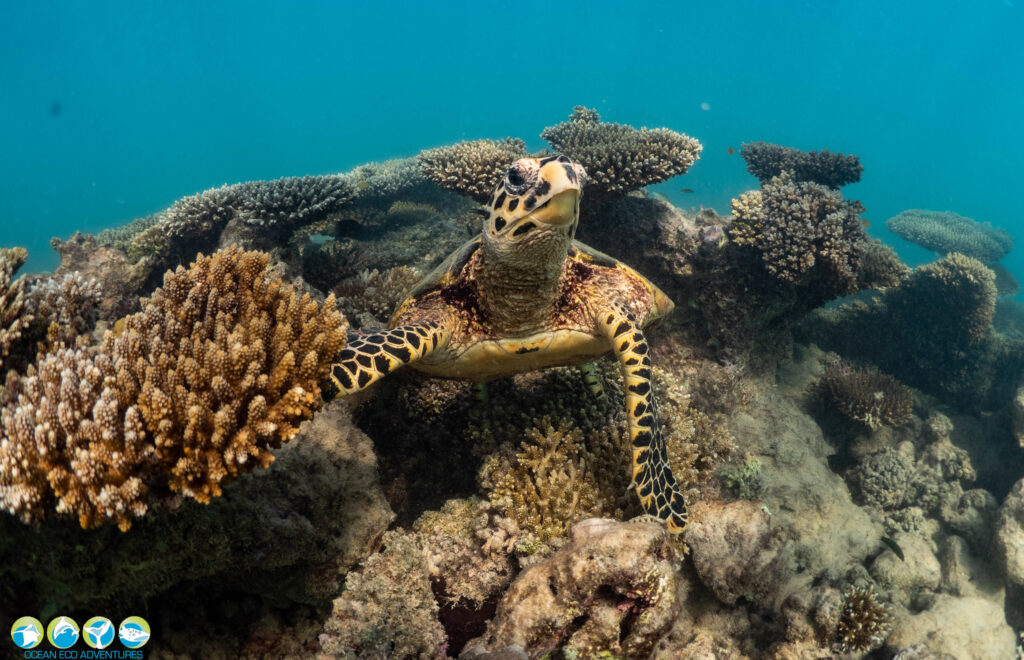
After our new mate the frill necked lizard had finished his breakfast of preying mantis the next day, we were off and headed to Broome. Broome was the place we were going to be able to stock up, get into the Apollo hire place for a few things we needed and hopefully enjoy cable beach. We sure did, we hired paddleboards and paddled out to sea, to play with the turtles off the beach.


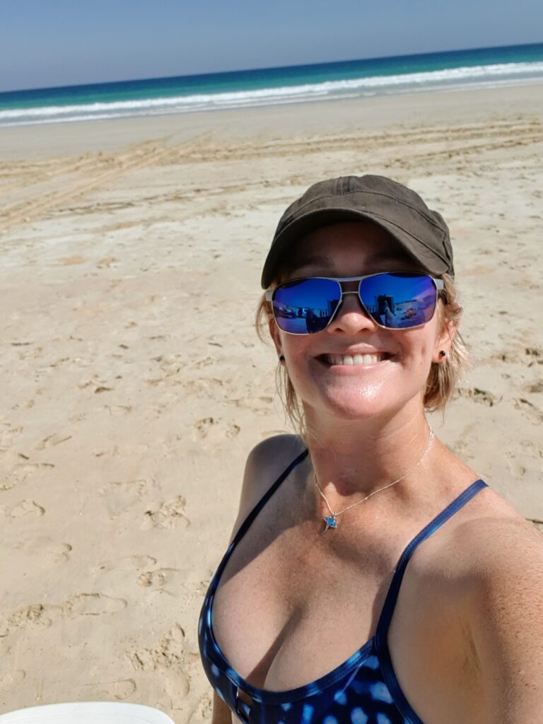
It was afterwards our new friend at the paddleboard hire place mentioned that next month the crocodiles would be out there cruising up the coast. Right, I guess again we picked the right time to be on the coast – the previous time it was accidentally picking the perfect time to swim with whale sharks and manta rays.


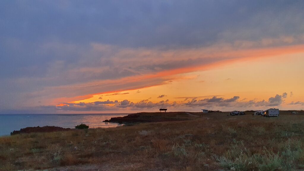
Broome was also our kick off point for a beautiful weekend at Cape Leveque. Cape Leveque is just north of Broome on the peninsular, and we had chosen a wilderness camp called Kooljaman on the western side of the cape with stunning views over the Indian Ocean and some of the most beautiful sunsets we’ve been lucky enough to have.


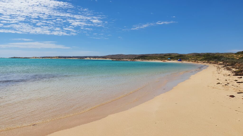
We were able to enjoy swimming in their lagoon in warm tropical water without too much fear of crocs or stingers, and we also took some time out to complete a bushtucker tour of the area. I think we ate enough vitamin C that morning to keep us going for a year! The views were spectacular from our campsite and the place was just stunning with its white beaches, red cliffs and blue water.


We didn’t want to leave, but we had a tour booked at Derby, which involved going back to Broome (for more swimming at Cable Beach naturally – apparently with no photos on that day), then on to Derby.


We were picked up at our caravan park early (8AM is early…) and ferried out to the airfield. I wasn’t sure what to expect, but our pilot gave us a quick run through of the day. He would fly us out to the horizontal falls base where we would be greeted by the staff there, then taken for our boat tour of the falls. He would then pick us up and fly us low over the coast depositing us back mid afternoon.

Sounds simple enough. We flew out out over Derby and north-ish to the falls. The falls came into sight briefly, before our water landing near the houseboats. It was a really great setup there, morning teas before being ferried onto the fast boat for a leisurely cruise down “Cyclone Creek” named aptly as it is used as a cyclone bolt hole for boats, particularly their houseboats in the offseason. The water was absolutely pumping into the creek, and our skipper switched off the engines and let us float a few hundred metres down the creek through the narrow S bends.


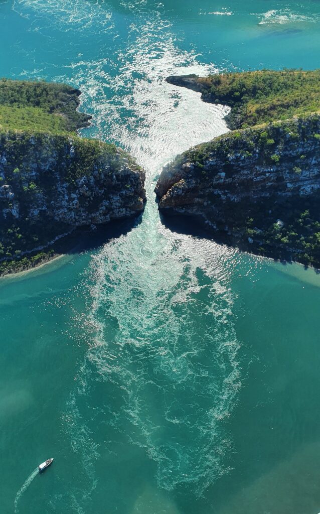
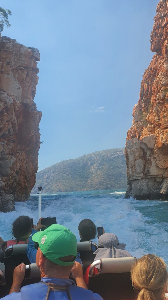
Later is was time to visit the “Horizontal Falls” named as they appear like waterfalls. The tide rips through the two small openings so hard, that at the smallest part, the difference in height between the water on either side can be up to 4 metres. At 1.5 metres difference, the boat can take us through on a fast ride and drop through the cliff faces – much like a rollercoaster – so that was fun!


The scenery is special, and we were fed a beautiful barramundi lunch while appreciating this stunning area. Not content with just one trip through the falls, our skipper got us back on the boat for another fast ride through the second lot of falls, before we were put back on our plane for the 40 minute trip back into Derby. Pretty impressive operation there, we learned they have 32 flights in there a day, as well as overnight stays available, and to keep that many people going through the place, all fed and happy with their experience is pretty impressive.

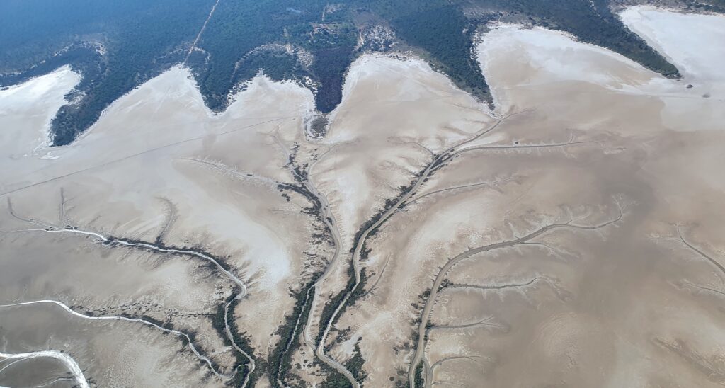
Adrian and I however, were happy to ferry ourselves the next day, out of Derby (via a quick stop to look at the mud) and back into the dirt – on to the Gibb River Road.

The Pilbara

By Fi & Adrian

We had hoped to go for a microlight flight on our last day at the reef, but the weather conspired against us and we used to time to head inland towards the Karijini national park. We picked a suitable station stay a short distance from the park and arrived for sunset.

The next day we topped up the fuel and tourist information at Tom Price before heading to Hamersley Gorge.

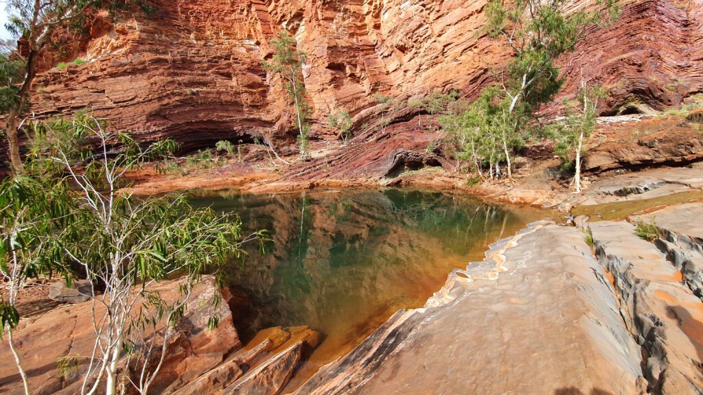
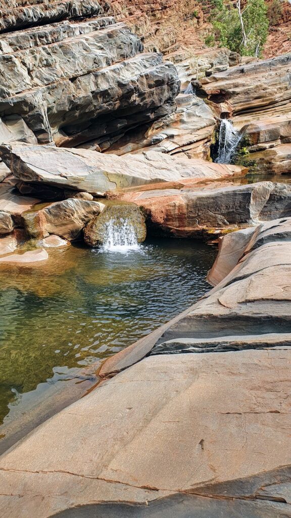
A short steep walk into the gorge was rewarded by a cool swim and a massage under the waterfall.

We returned to a free campsite next to a dry riverbed that we had scoped out in the morning. But now the road in was blocked by 2 cones. Following the mantra of always leaving the camp site as it was when you arrived, we carefully replaced the cones across the road and found our quiet spot beside the river.

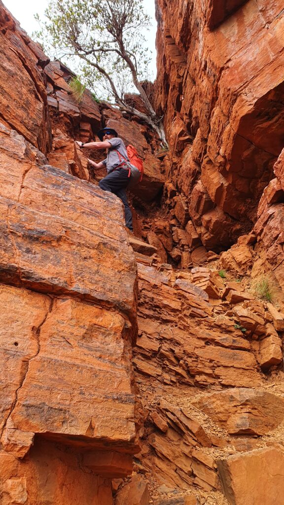
The next day we set off up Mt Bruce that is well known as West Australia’s second highest mountain (hill). A four hour round trip took us to the summit and back, with a few steep sections to negotiate along the way.

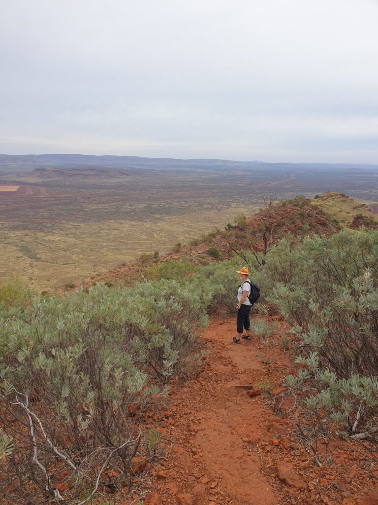
The Mt Bruce walk has fantastic views all the way to the top. On one side the mountains of red rock dotted with green spinifex and on the other a large iron ore mine with mega trucks and mile long trains.

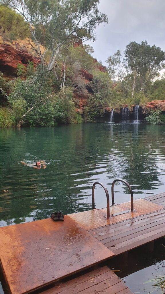
We stayed within the national park at Dales campground, ducking into the gorge for a much needed swim after the days exertions. Small fish removed any excess skin on our feet and the waterfall provided our massage.

Unusually it rained overnight with the campground waterlogged in the morning. The tent people had mostly left by the time we crawled out of the snail.

Before heading out for our gorge exploration we checked at the nearby visitor centre in case the water levels were dangerous in the gorges. It turned out that the rocks in the park are so treacherous to the unwary tourist that all gorges and even Mt Bruce were closed.

Time for a plan change…we headed north to the coast.

Ningaloo Coast

By Fi & Adrian


The main stop on the way north from Denham was at Carnarvon where we followed a sign promising preserves, farm produce and the best mango ice cream. We weren’t disappointed and stocked up on everything from dried mangoes to sauerkraut. In this photo Adrian is still really happy with the purchase clearly. Carnarvon is also the start of the 300km Ningaloo reef.

After sleepy Denham, in Coral Bay we were met by a mass of humanity with the large caravan parks filled to overflowing. We had a quick dinner and prepared for our Manta Ray experience starting early the next day.

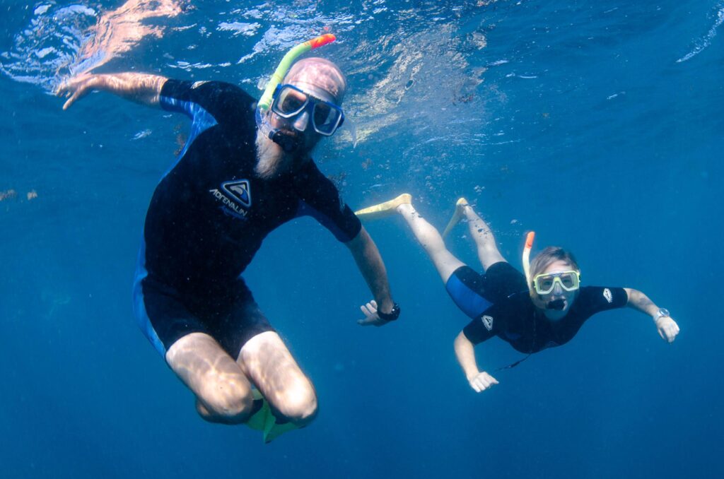
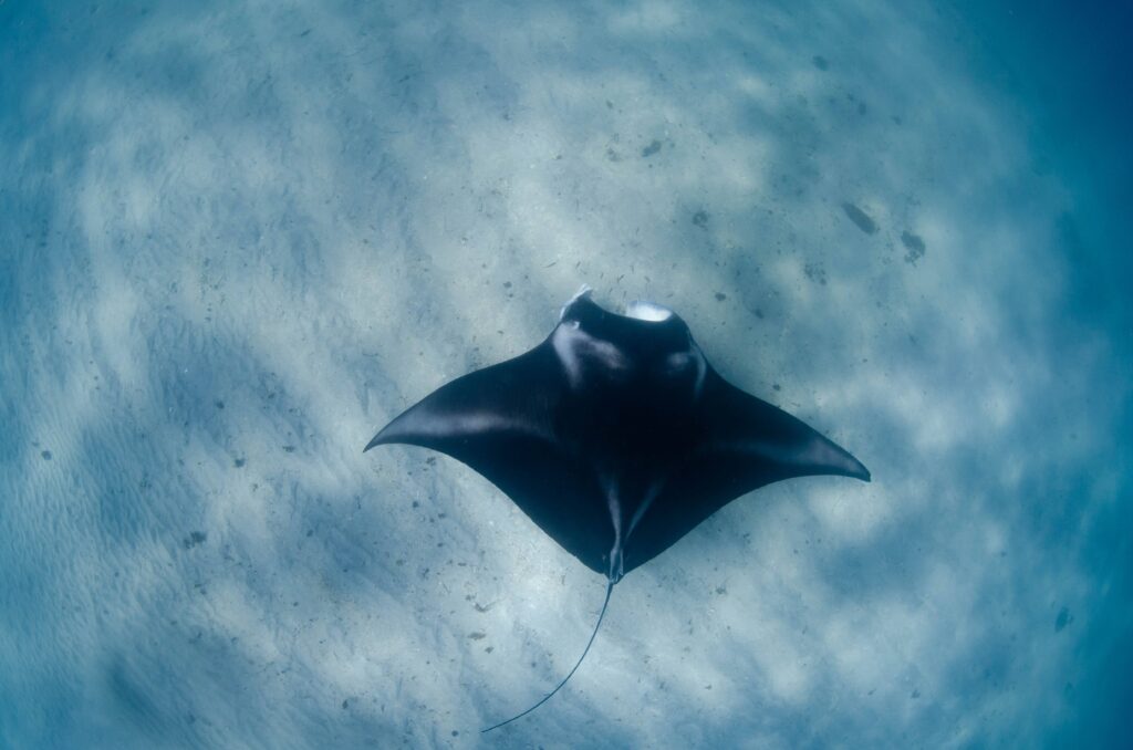
It turned out we chose a good tour as the boat was not full, the owner was a marine researcher and his team couldn’t have been more helpful. We performed the warm up snorkel (mostly to identify the ‘drowners’) and went searching for manta rays. After locating a ‘fast’ manta we got in the water and watched her ‘flying’ up and down collecting food.

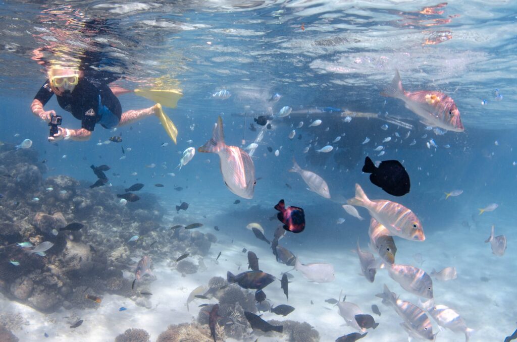
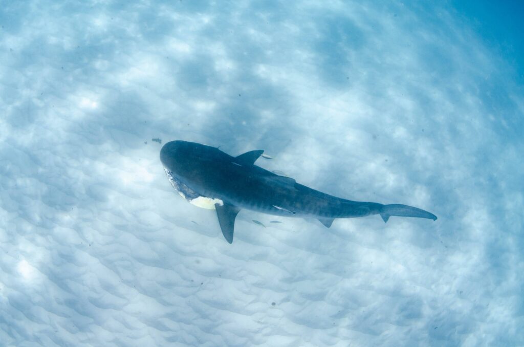
With the manta ticked off we went searching along the reef. Suddenly there was lots of excitement as splashing led us to a group of sharks eating a turtle. We didn’t enter the water but watched through our masks lying on the back of the boat until a very large tiger shark checked us out. The large tiger took the remains of the turtle and headed off towards the reef. It was described as a happy dog with a bone looking for a quiet place to munch.

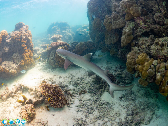
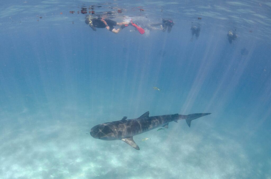
After a couple of snorkels on the reef another tiger shark was spotted and we were all herded into the water for quick encounter. Apparently they usually move on quickly when a group of tourists arrive so we needed to swim quickly. I (Adrian) had a moment of concern when I realised I was closest to it and it wasn’t moving away.


The next day we headed north to Exmouth and had a quick windscreen change before settling into the caravan park. All that bumping around on dirt tracks had big cracks walking across the windscreen!

We were back in the water the next day to chat to the whale sharks. A similar process to swimming with the manta rays, we were going to be told to enter the water quickly from the back of the boat, line up and wait for the shark to come past then start swimming.

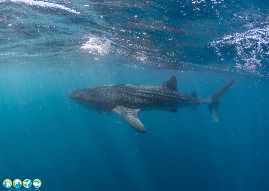
“Go” came the command, and we were in and looking to the direction indicated. by our guide. Hours seemed to pass staring into the blue, but soon enough, a dark shadow appeared, then the shadow gained form, and out of the blueness, this giant fish cruised past, munching away happily on its krill, seeing us merely as flies.

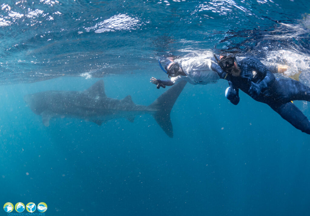
These guys were much slower than the mantas and easier to swim with. We were able to let it pass, admiring its majesty, then swim quickly around behind it around to the other side where we could have an amazing uninterrupted view of this gentle giant.

A cracked rib (not ours) shortened our trip but we went out for a bonus snorkel on the reef to finish the day off and got to hang out with this guy.


On our last day at Exmouth we rented some paddle boards and explored the Cape Range coastal area. First stop was Turquoise Bay for a paddle around on our boards in the perfect little bay. It was quite busy so after some good body movement, we headed south along the parks coast to Sandy Beach for a swim and practiced some handstands because, why not.

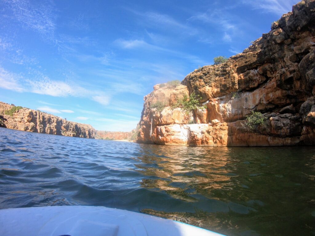
Finally, we took off to the very southern part of the road in the park and paddleboarded Yardie Creek. Paddling down the creek, it wasn’t long before we felt numerous eyes on us… Looking up we clocked the local protected wildlife, the black footed rock wallabies staring at us from their perches on the creeks sheer cliff walls. A stunning little creek, it didn’t take us long to head up to the end and back, so we had time for extra swimming at Sandy Bay.

Sunset at the lighthouse is mandatory and didn’t disappoint.

Enough coast for a while. Its back to the hills…

Half way map and a bit about our temporary home

By Adrian

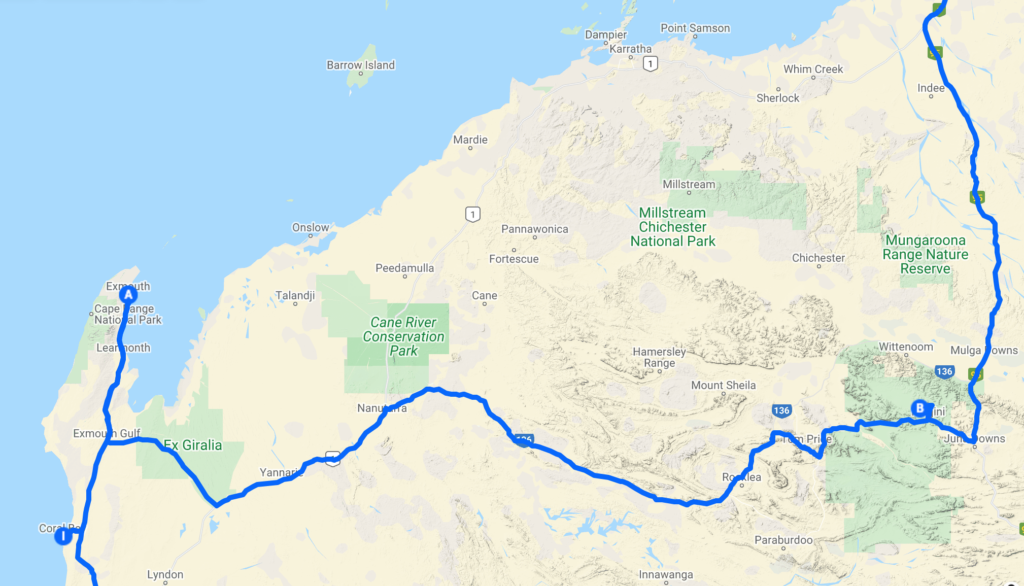
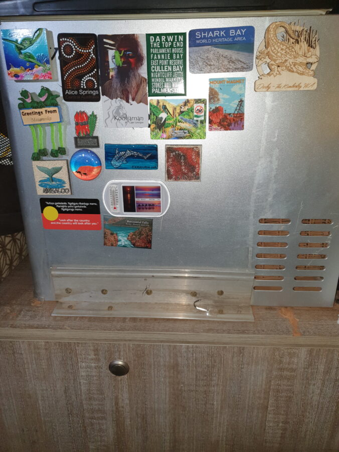
We can tell that we are a bit over halfway through the trip because the fridge is a bit over half full of magnets.

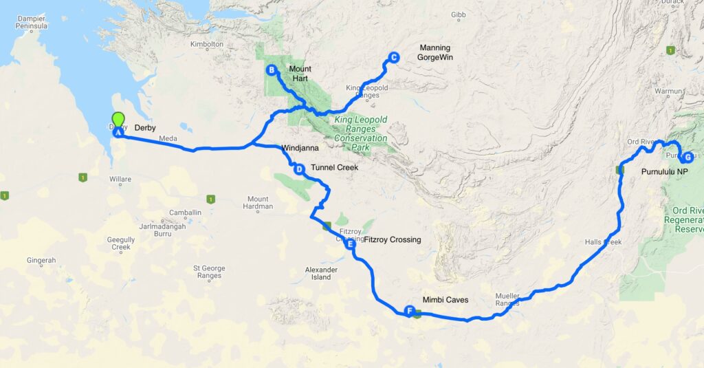
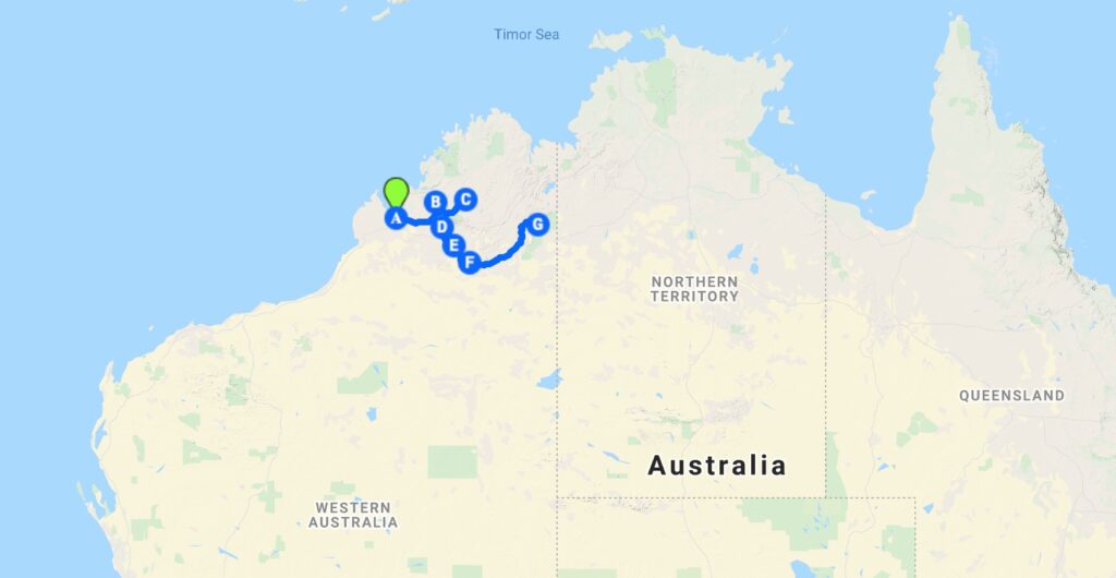
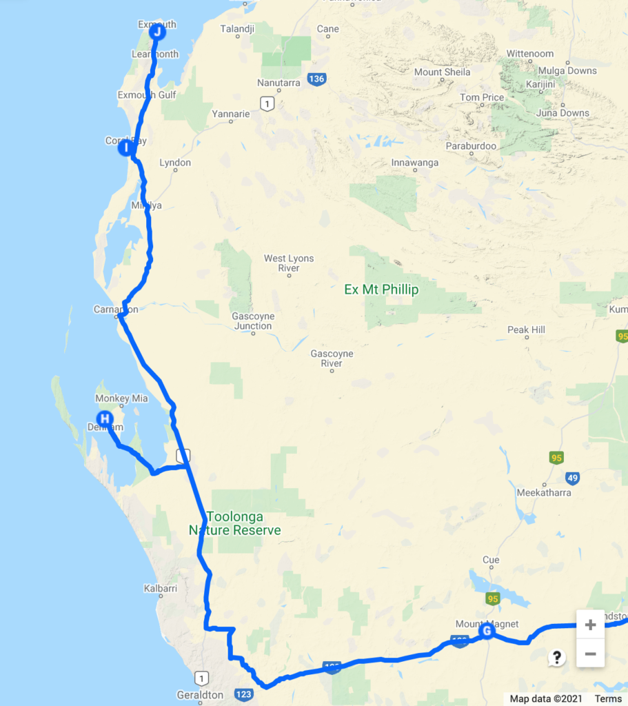
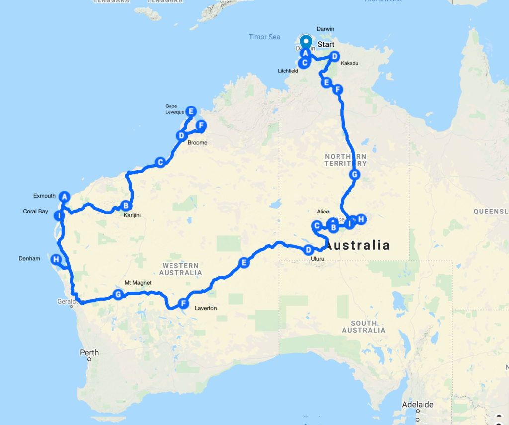
Writing from Broome we have covered a little over 9000km and still have three and a half weeks to go. We have had a request for a map, so the map below shows our track so far (the blog is a little behind the map ;-)) and the letters are the approximate locations we spent an evening or two. This plan gives us some time to enjoy the Kimberly and duck into Kakadu on the way back to Darwin. That is the current plan, but the only certainty is the plan will change…

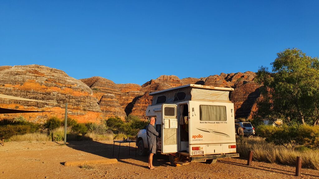
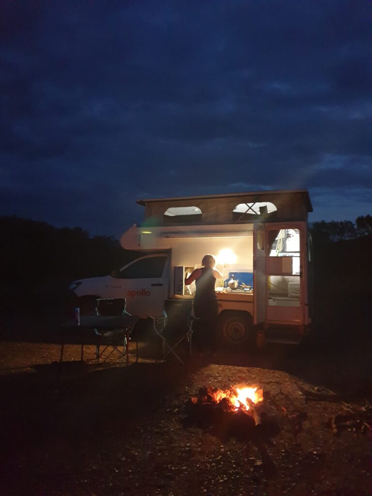
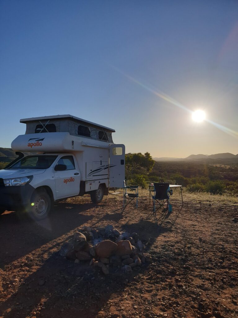
The ‘snail’ (our Apollo Hilux pop top camper) has proved ideal. With the large distances to travel we rarely stay in a camp site more than 1 or 2 nights, so setup and take-down time is important. Setup isn’t much more than sweeping out the red dust, popping the top and opening the stove.

The 4WD won’t get us over ‘serious’ 4WD tracks but has got over some pretty rough tracks into remote campsites.

When the extra diesel jerry cans are full we have around a 1000km range which has been more than enough.

We can be off-grid which often results in quieter more remote camp sites. It has become a running joke how often there is an empty campsite with great views around the corner from the crowded site with showers and ‘toilets’.

We have also tried some caravan parks in bigger towns which has given us the chance to catch up on washing and refill water.

So far the snails only injury was a windscreen that ended up with too many chips and cracks. We replaced that in Exmouth.

Normal blogging to resume shortly…

Heading to the Coast

By Adrian

Leaving Laverton we opted to head to the coast rather than an inland route through the wheat belt. Our route took us west to Leonora and north to Leinster for the night before we could turn west for the coast.

Leinster was our first mining town catering almost exclusively to fly-in fly-out workforce from the local mines. It worked well for an overnight stop: $20 for a powered site, wide variety of food at the pub, and no reason to linger in the morning.


A visit to Mt Magnet was mandatory to acquire a Mt Magnet fridge magnet for Fi’s fridge magnet collection. Grids on the road announced the start of ‘sheep’ country. We spotted an occasional lonely sheep searching for feed where once there had been grasses. Now devoid of ground cover plants we had perhaps found the Australian desert.


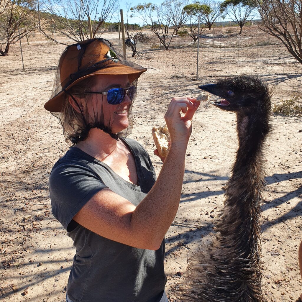
Our habit of searching Wiki Camps for an appropriate overnight stop near Geraldton revealed a highly rated farm stay with a tour of the animals. It turned out they rescued injured and unwanted animals from ostriches to kangaroos. They all expected us to feed them and we spent a pleasant morning learning about their background whilst handing out breakfast.


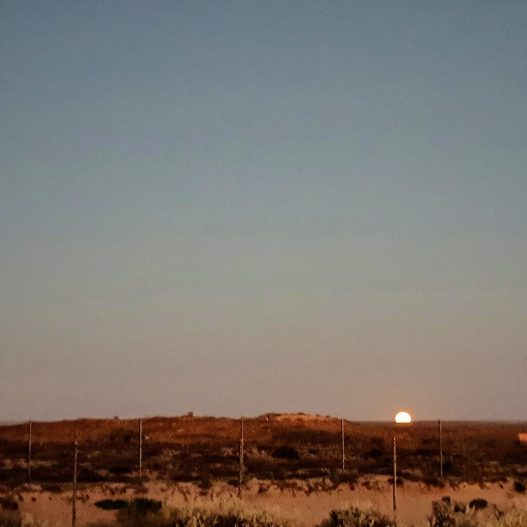
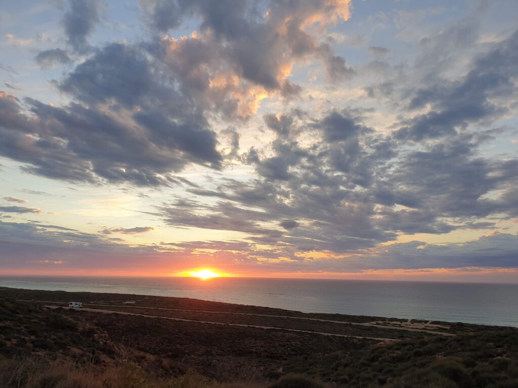
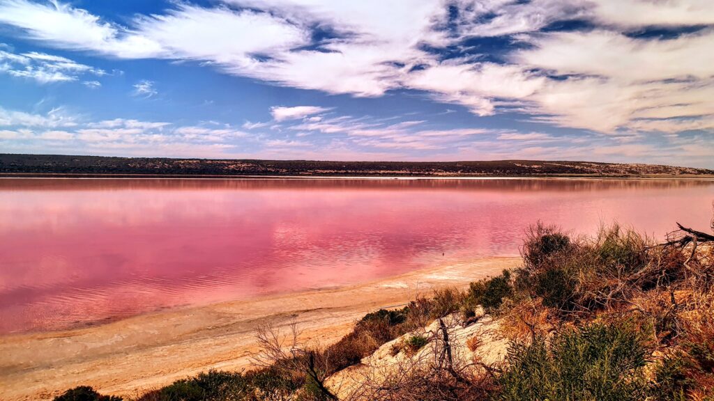
The coast beckoned and after passing a pink lake we bypassed Kalbarri which was recovering from a recent blow, and made for Denham on the edge of the Francois Peron National Park. Unpowered sites are often ‘a field down the back’ but here we had absolute beach front with an uninterrupted view of our first sunset over the ocean.


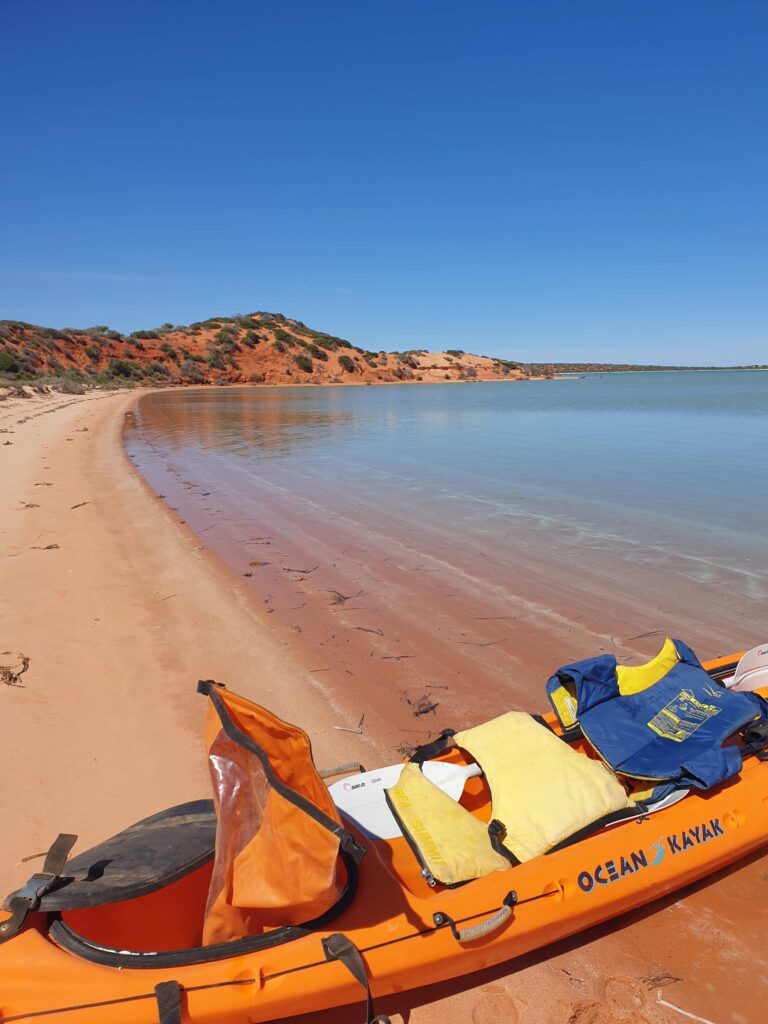
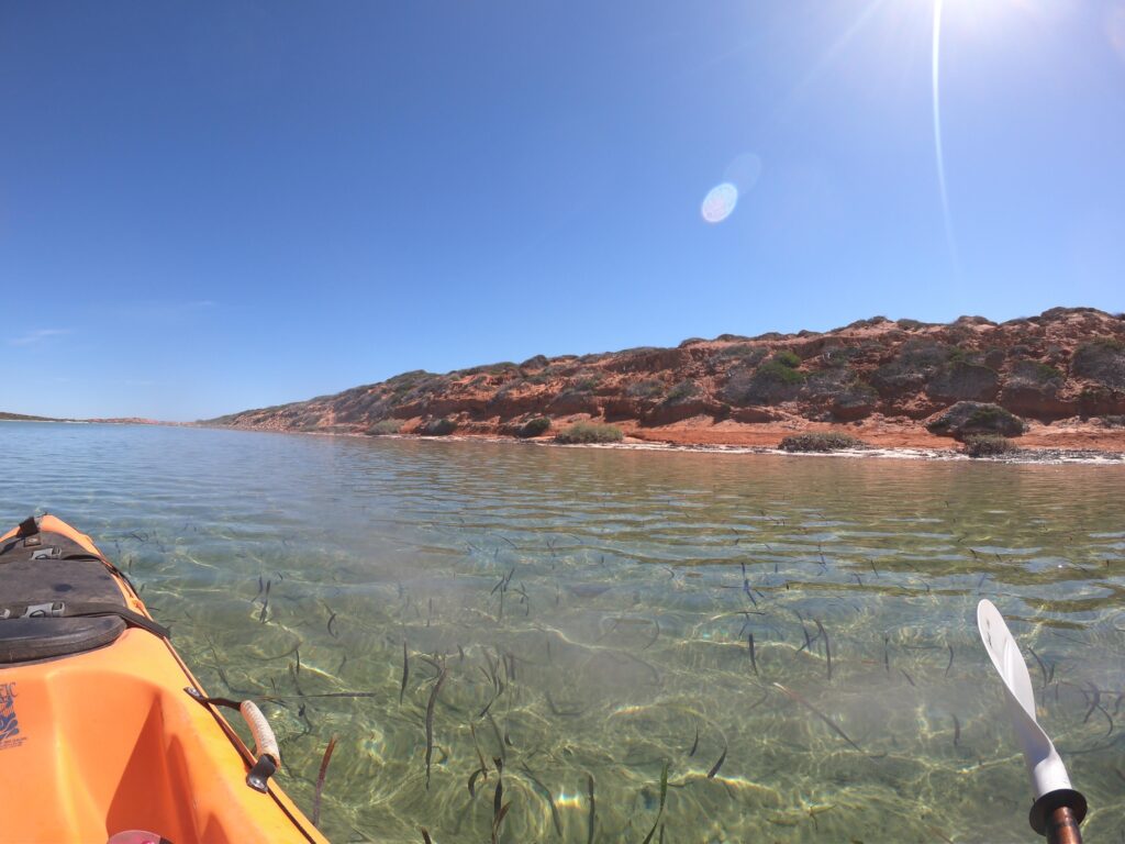
Our tour the next day was with ‘Capes’, a local man who had grown up in the area when it was a goat farm and later helped the area gain National Heritage listing. After a short drive and introduction to the area we kayaked through the shallow turquoise waters of “Big Lagoon”, stopping to identify animal tracks, take in the views and learn how the native animals were returning to the area as in the invaders were being removed. Who knew that echidna tracks head away from their destination?


We spent the day like this, kayaking and learning about the area. We saw sharks, rays and fish, and the odd kangaroo. We went for a cooling swim in the turquoise before working out kayaking muscles and getting back to land for a fresh cook up of locally caught snapper and salad. Each time we landed we were introduced to the country as its not good to surprise the country.

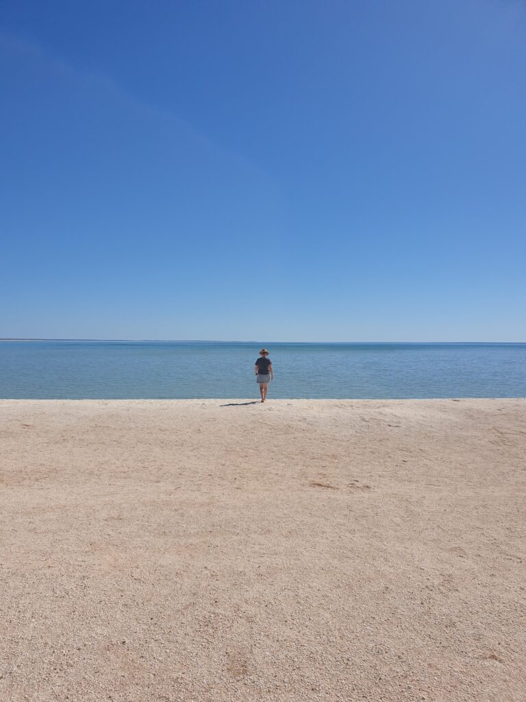
The next day was moving-on day and we headed back down the peninsula stopping in at the beach made of shells. Next stop Coral Bay and Ningaloo Reef.

The Outback Way

By Adrian

We left the throngs to Uluru and turned right into the Gibson desert. The Outback Way is a million miles of dirt road traversing the continent, with the occasional short tarmac section accompanied by a sign proclaiming a federal government improvement project. Chatting to a worker at one of the upgrade sections he mentioned the dream of tarmac running from Western Australia to Queensland. I asked when he thought it might happen. He smiled and looked away into the desert.

The dulcet tones of ‘Dark Emu’ by Bruce Pascoe accompanied us as we headed deeper into outback. We were amused by the European definition of desert: ‘an area unsuitable for wheat and sheep’. Indeed the south Gibson desert was not sand dunes as one might imagine, but a series of vegetated landscapes. We had grown up learning the carefully orchestrated ‘hunter gatherer’ story taught in schools. In Dark Emu we found a very different Australian civilisation presented in the early explorers journals.

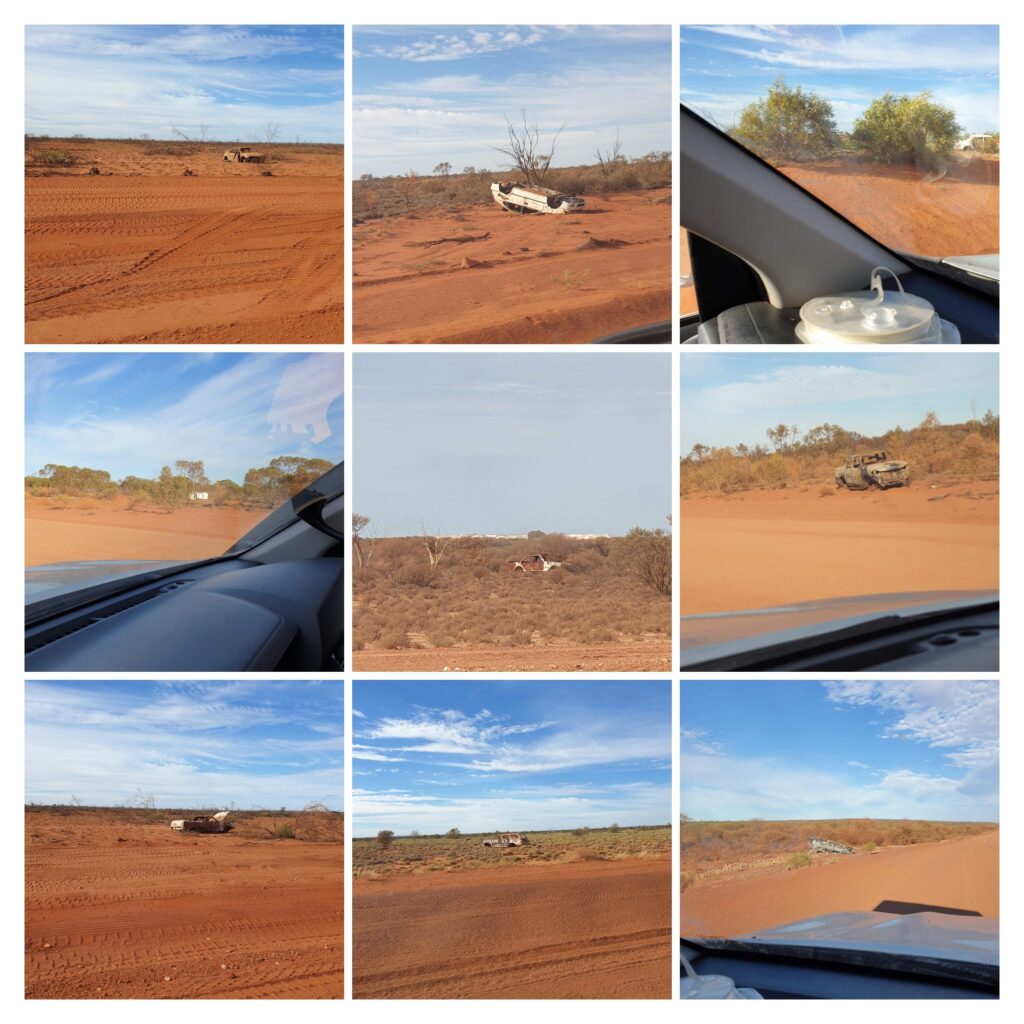
Every few hundred meters along the Outback Way another abandoned car pays homage to the fragility of modern technology. Shaken out of existence these vehicles are left to rot where they died forming a sort of museum of automotive history. Ford’s from all ages seemed overrepresented although its unclear if due to popularity or engineering.

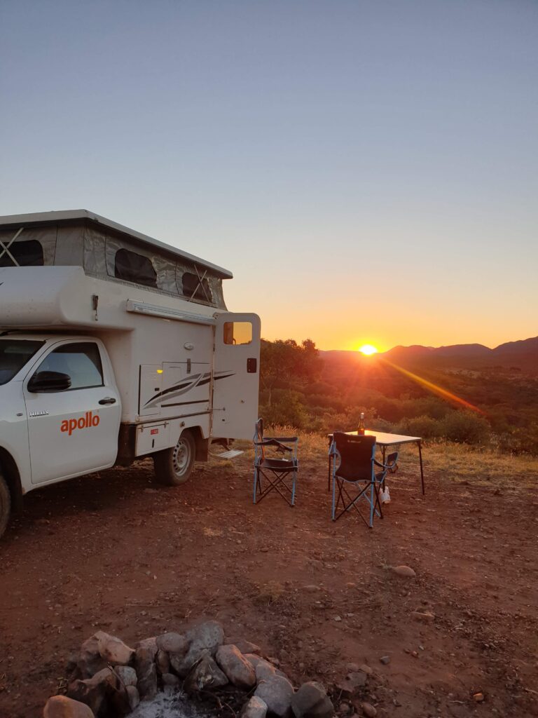
Our pop-top 4wd Hilux was referred to as a ‘snail’ when we visited a station in the East MacDonnalds. It seemed appropriate as we slowly traversed the landscape carrying our home with us. There are many un-signposted camping areas just off the road. We can sneak into these as the flies go down, light a fire and watch a billion stars appear over the fading carcases of bygone cars.

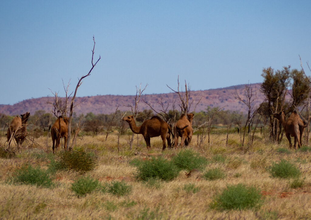
Camels cross the road ahead and pause to observe us as we slide to halt behind them. The look of bemusement on their faces suggests this may be the first camera toting white snail full of excited waving tourists they had seen today. They meander slowly into the bush no doubt more worldly and with stories to tell the grandkids.

On day 3 we rattled off the last section of dirt road and arrived at Laverton, a type of civilisation with which we are familiar. The friendly staff at the information centre made approving noises at our outback expedition as they served us coffees and cake. The books in the information centre told of early European explorers enduring hardship in the outback, but likely nothing compared to a million teeth clattering, bone jarring, buttock clenching miles in a white snail.

Glossary:

Corrugations – road surface designed to shake vehicles to destruction

Outback Way – parking lot for vehicles that take on the corrugations and lose

Rough Surface – a smoother section of road in an otherwise rough road surface

Floodway – section of road where vehicles travelling at 110kmph meet piles of sand and rocks

Washout – section of road now located downstream

Point of interest – an unusual tree, a wooden cross, a large rock, writing on a burnt out car

Corner – a rare road feature worthy of signposting

Mountain – any land 20m or more higher than the surrounding land

Road train – large red dust storms moving across the landscape

Tyres – temporary vehicle attachments mostly used as road art

Federal Road Sealing Project – a signpost, 2km of sealed road, 50km of road works

Waving – competition to get the most responses from oncoming traffic

Oncoming traffic – 3 hourly occurrence indicating time for driver change

Grid noise – compulsory ‘weeeeehhhhyuuup’ noise made before crossing a grid

Tarmac – a mirage made by heat on red dirt road

Red dirt – stuff coughed up after 3 days on the road

« Older posts

© 2024 Fi & Adrian

Theme by Anders NorenUp ↑