Sailing & Other Adventures

Category: Outback Trip (Page 2 of 2)

We took a 4WD camper-van from Darwin through northern Australia

Mereenie Loop, Kings and a Rock

By Fi

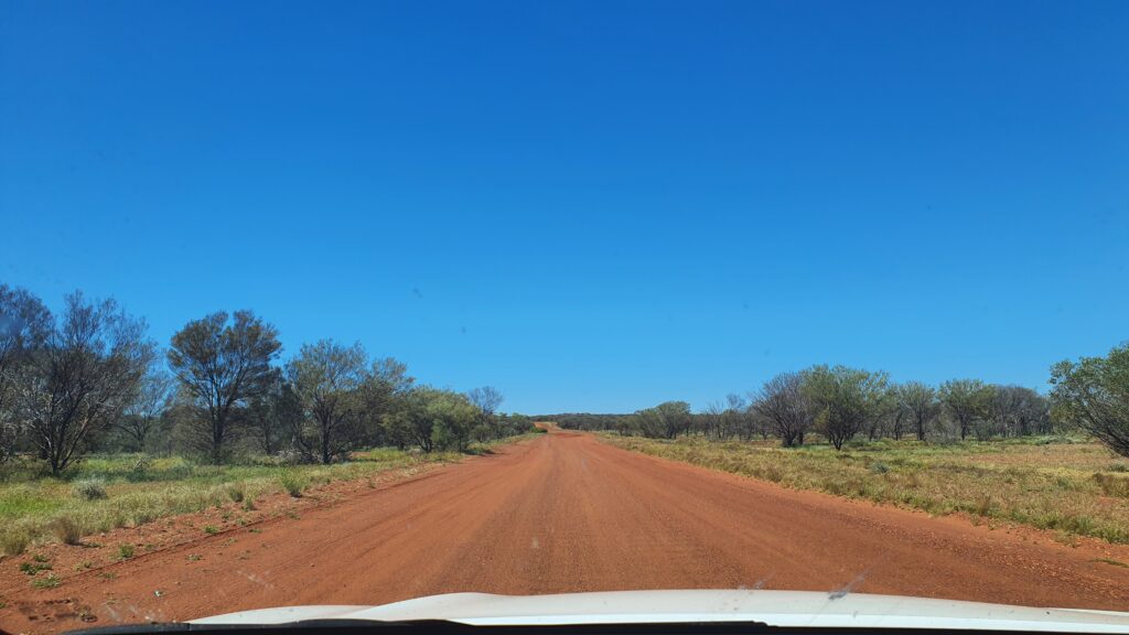
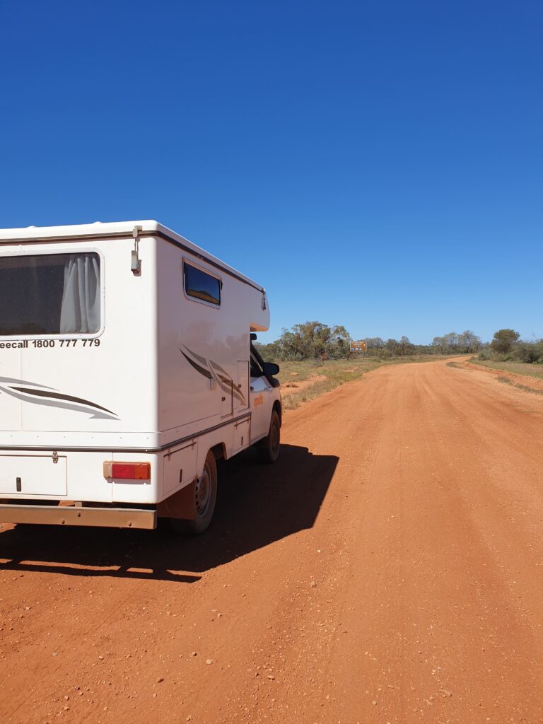
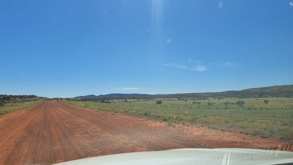
When we last left off, we were just about to head on to the Mereenie Loop Road – a permit only, unsealed stretch of road leading from the west side of the West MacDonnell Ranges, to Kings Canyon. It had varying reviews as to the road conditions, and we had a vehicle that we knew could do it, but the choice was – could we? Yes, is usually the answer in these situations, so off we went, west from a little town called Hermannsburg where we had stopped for a little look and our permit to drive the road.


Our “shortcut” would take us about 3 hours, and would include 200 or so kilometres of corrugations, bolting brumbies, corrugations, amazing scenery, corrugations, more brumbies, corrugations… (if you don’t know what corrugations are, then you are lucky – they are the bone jarring bumps that form in unsealed roads after a time of cars driving over it). So it was a little bone rattley, but Adrian handled ALL the driving like a trooper (I made a note to offer to drive in these situations…), and we stopped at a roadside camp on the top of the escarpment right, at the end of the loop in order to watch the sunset and get some still time, ready for some walking the following day at Kings Canyon.
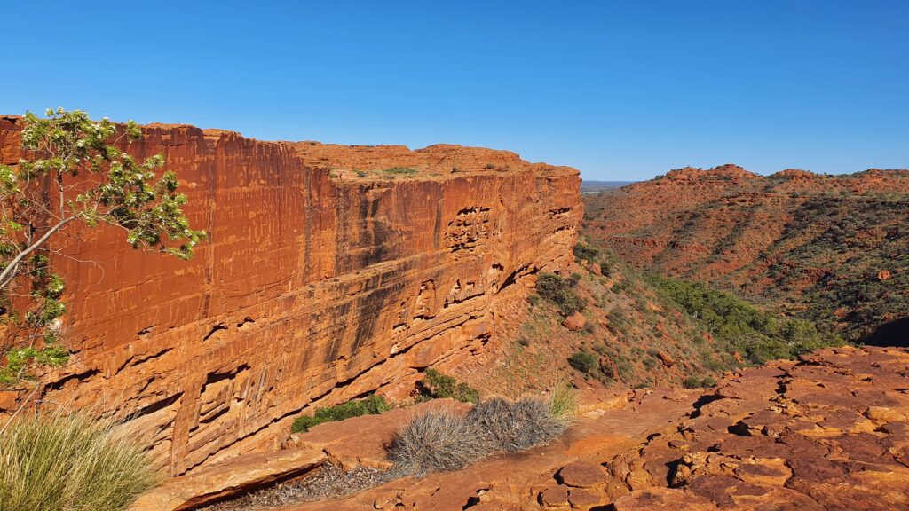

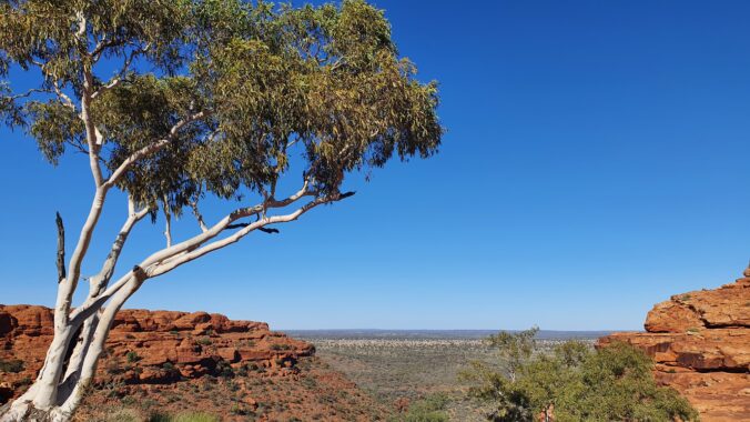
It was totally fine temperature the day we chose to complete the Kings Canyon rim walk – they do close it when the temperatures get high as it is very exposed to the sun. This part of the world is just stunning and the tourist numbers certainly talk to its majesty. Its not short of beauty, or people! First off on our walk, a huge stair climb and passing people, before wandering over the top of the gorge, admiring views, plant life, bird life and the huge stony structures created by thousands of years of water and weather.
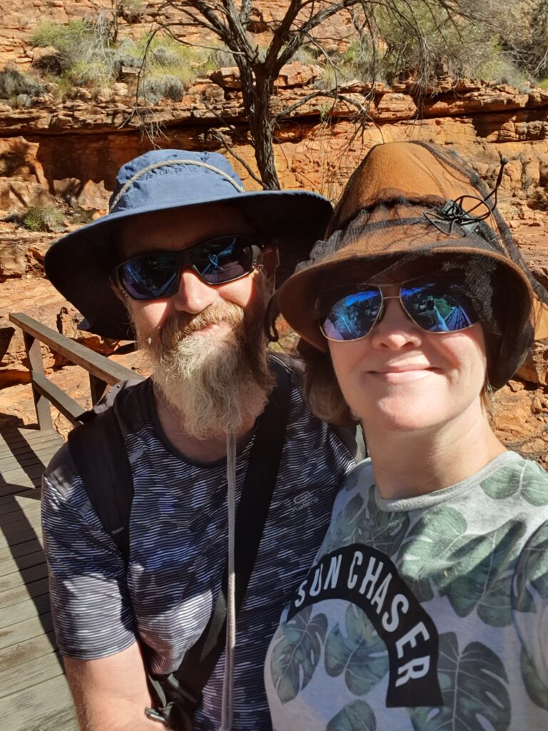

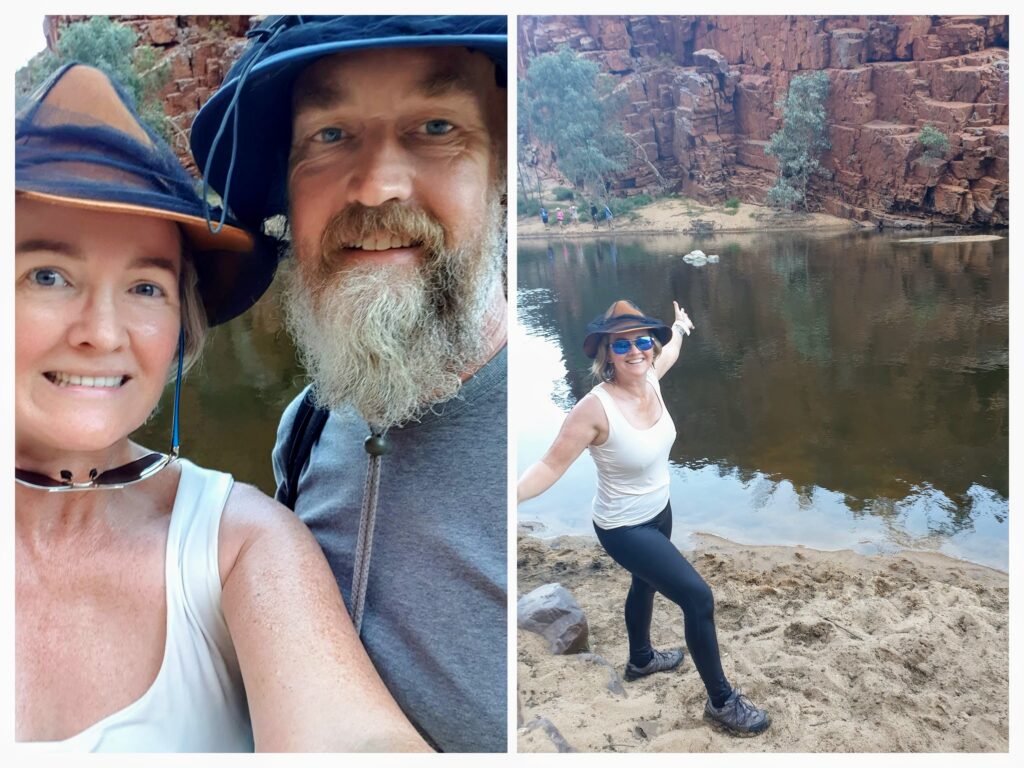
I must admit, we are on a little bit of a timetable and there is a lot to see, so once we had completed our walk, we reapplied the calories with some pizza, jumped back in the van, and drove south to Uluru. We arrived at Yulara (the Uluru “resort town”) a few hours later just in time to grab a spot in the campground, and then head out for a sunset viewing of the famous rock. No time for stopping on this trip! Here are our happy faces part way through our first adventure of the day at Kings Canyon.
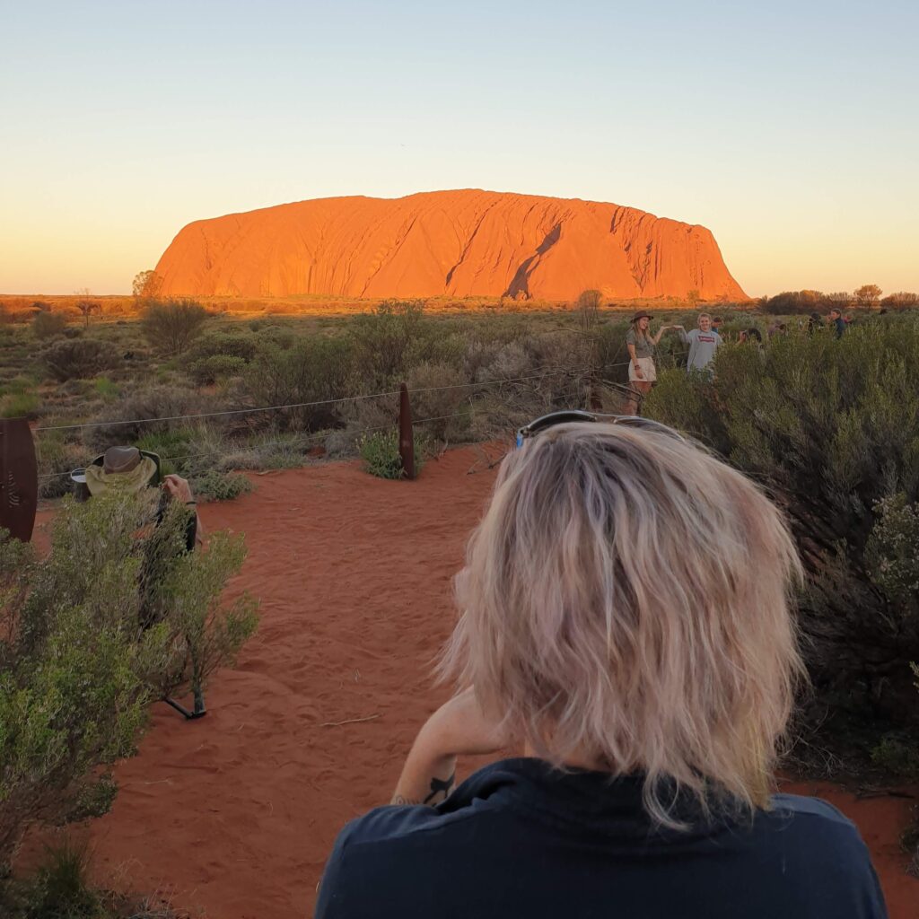

Adrian had been here before, so he knew what to expect, but I didn’t! As we rounded the corner and over the small hill that revealed Uluru for my first ever view, I was gobsmacked and just said “Wow” a million times. I didn’t realise how big it really is, and what a presence it has.

Non-alcoholic sundowners were had (if you are seeing a theme of no alcohol, you’re correct – we’re off the booze for a while) and we headed on back to our allocated campsite for the night.

I’m sure you’ll excuse my unwashed, unbrushed hair in this picture – must admit, not a priority – but I’m sure you’re not looking at that.
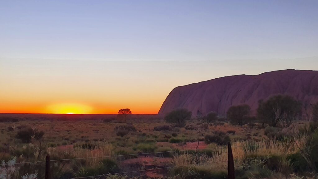

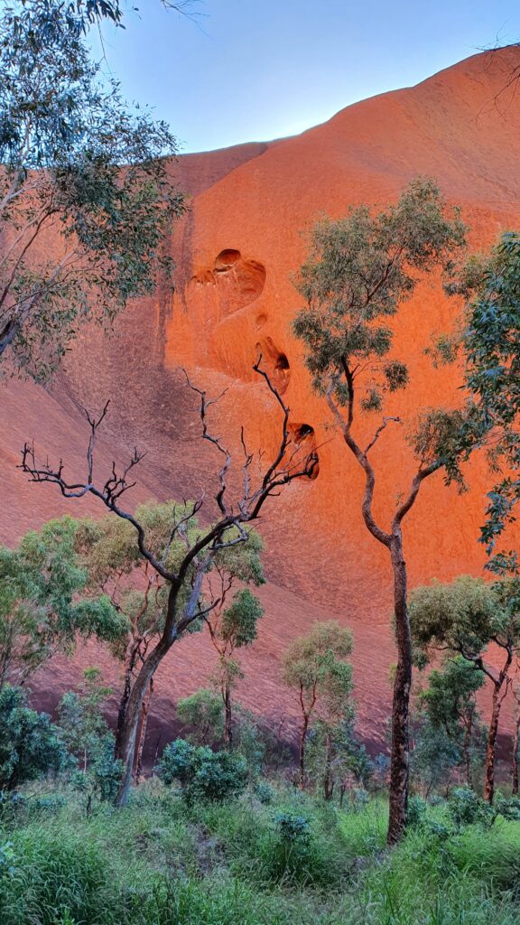
Walking was again on the cards for the next day – EXCEPT we needed to do the sunrise at Uluru too, so after a decent sleep, we were off back to the rock for coffees, sunrise, and then to do the base walk. Again, awestruck, I walked around the base of this amazing structure, and took a lot of photos. Dreamtime stories abound as does the history and the connection of this place to the Traditional Owners.

Enjoy a few extra piccies of this world heritage listed site.

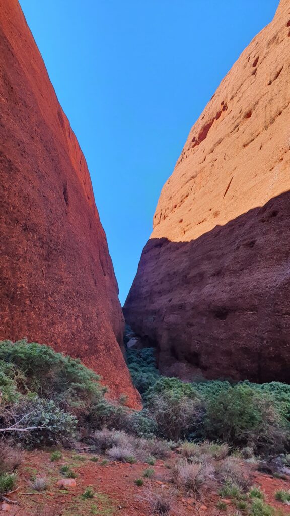
But its not all just about Uluru at the National Park, there is also Kata Tjuta (The Olgas), and keen to also see this imposing landmass, we drove over to Kata Tjuta on our third and last day in the park, walking the shorter, but no less spectacular gorge walk this time, as the tootsies were telling me they would like a little break.
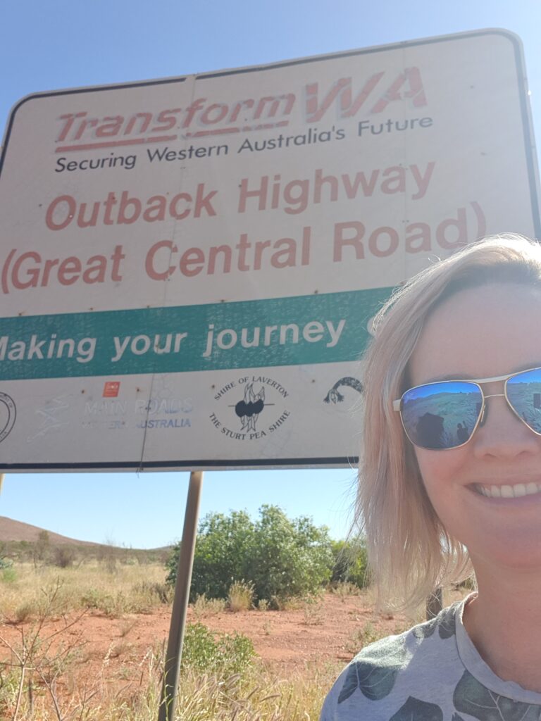

As much as we could spend a lot more time here, doing all the walks and eating at the restaurants and seeing the cultural displays – our tick tocking timeframe called, and we knew we had some serious driving ahead of us on our next leg. The Mereenie Loop had not put us off driving on unsealed roads, and so we were to complete part of “Australia’s Longest Shortcut” and drive over the Great Central Road (also called the Outback Way) from Uluru, past the Docker River, through Warburton and finishing at Laverton. I’ll hand over to Adrian and his amusing prose for that blog πŸ™‚

The MacDonnell Ranges

By Fi

We arrived into the MacDonnell Ranges after travelling from the Stuart Highway, along Binns Track, an unsealed dusty track that lead us to the Hale River Homestead, our stop for the evening. Hale River is a great place, in the bush with loads of history, bush walks, a bar, pool, great facilities and so we relished a non-alcoholic beverage, a little toe dip in the pool and enjoyed the respite from the bumpy track. Ok yes, there were about a million giant mozzies, so we didn’t fancy staying as long as we would have liked.


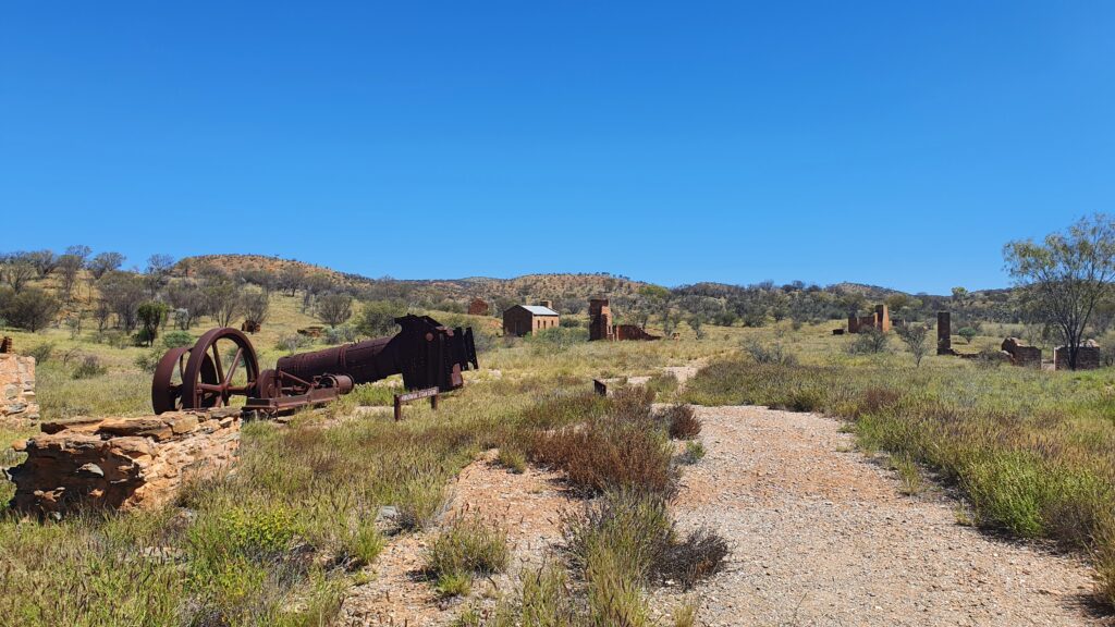
The next day we were off again, this time towards Arltunga where one of the first gold mines and inland towns in Australia was constructed. Unfortunately, the traditional owners had been driven off their land due to these developments, and now all that appears to remain are the ruins of the mining town, inclusive of police station, government buildings and mine hardware.


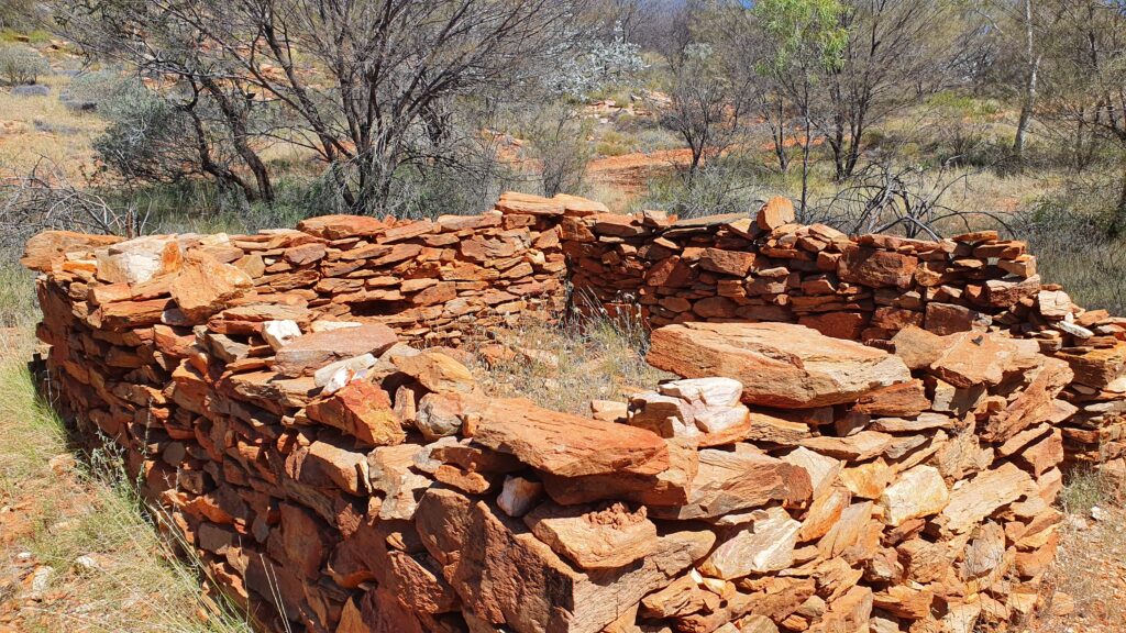
We went for a walk to the colonial cemetery and to a couple of the gold mines. The colonial people here did it hard, and apparently often the amount of gold they found, wasn’t worth the cost of living there. They had to ship in food and water and great expense just to live there in a small, square stone hut with a canvas roof.


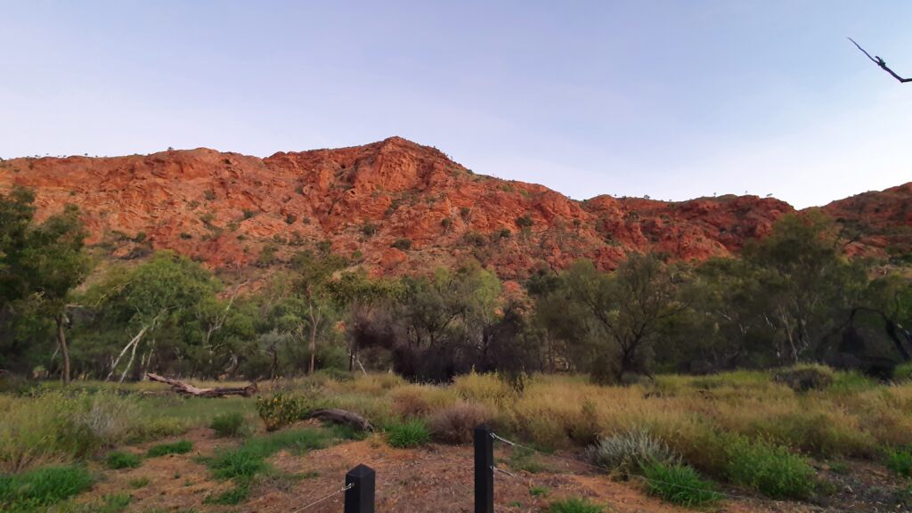
After a little while of looking around (and a big chat with the local Ranger who was so excited to see a couple of tourists), we headed to our campsite for the night, the “Panorama” campground in the Trephina Gorge. A quick walk up the dry river bank confirmed our plans for the following day to walk the Panorama Walk on the rim of the gorge. We watched the sunset colours change on the gorge wall as we enjoyed some dinner and took ourselves off to bed.


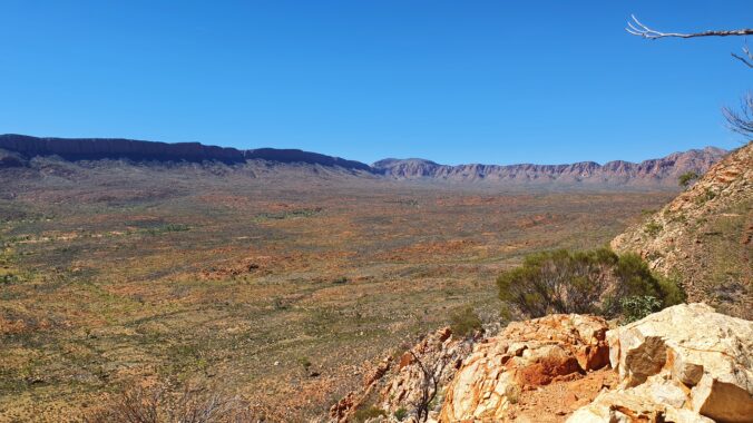
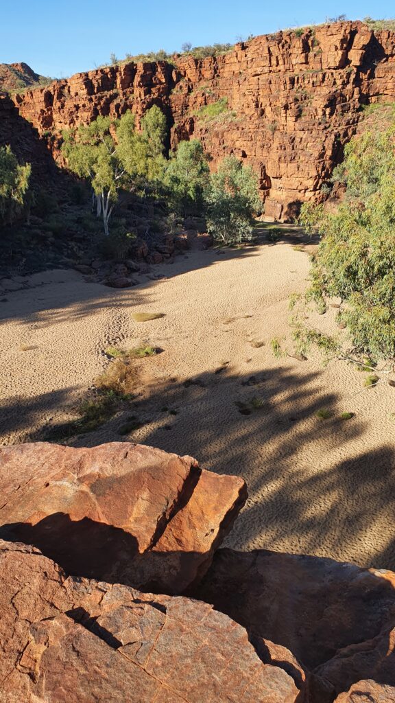
Our morning gorge walk was spectacular with views over the ranges, finishing with a saunter down the dry river bed back to our camp. This photo was taken standing on the ridge just before we descended into the dry river bed below.


Alice Springs was to be our next stop, so we said goodbye to the relative solitude of the East MacDonnell’s and drove into “Town”. We had picked a little caravan park outside of Alice to be our stop for the evening, so we got all our jobs done, and headed there to wind down for the day and make our plans for our next steps. We’d prefer to move along from Alice, because we like the wilderness and solitude, however we did relish some great great food in town washed down with some excellent coffees. Really rivalled those of the Inner West in Sydney (yes I said it).

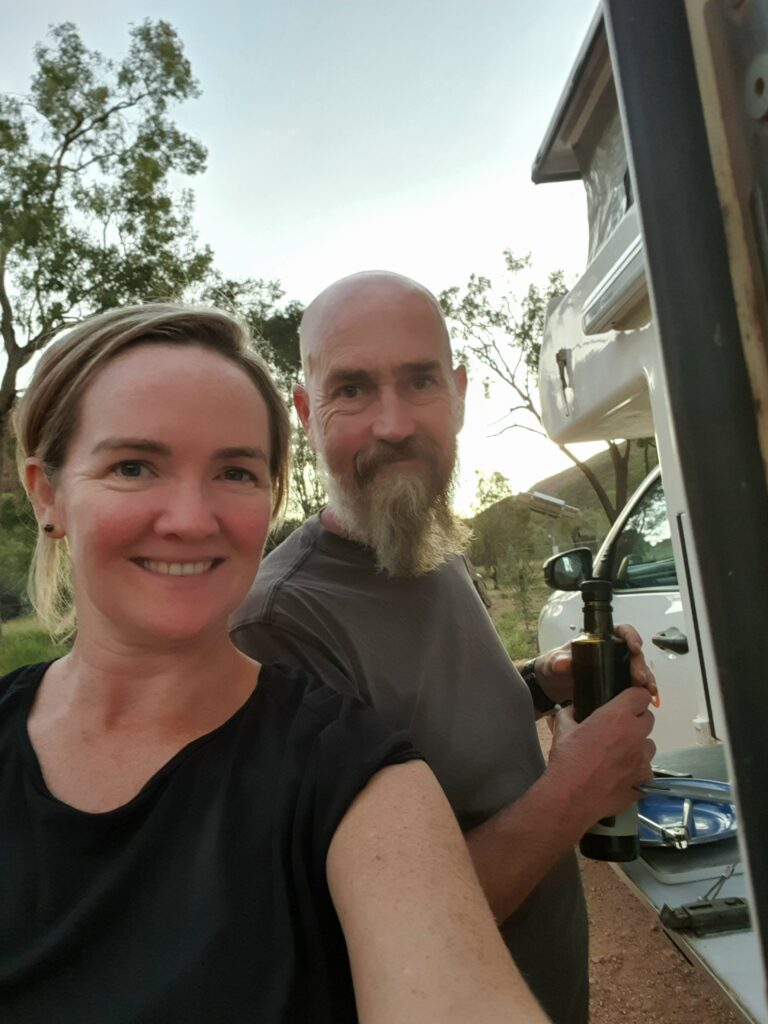
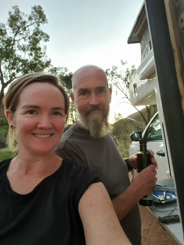
Here are our excited faces as we cook dinner and plan our next adventures.


The West MacDonnell Ranges were calling. This is where apparently most of the tourists go (according to the lonely Ranger at the East MacDonnell’s). The West MacDonnell’s have the big ticket items, such as Kings Canyon and Serpentine Gorge, as well as the Ochre Pits and are also on one of the roads to Uluru.

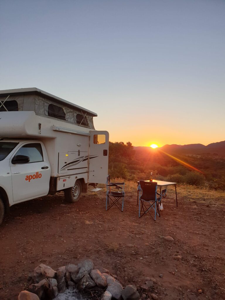
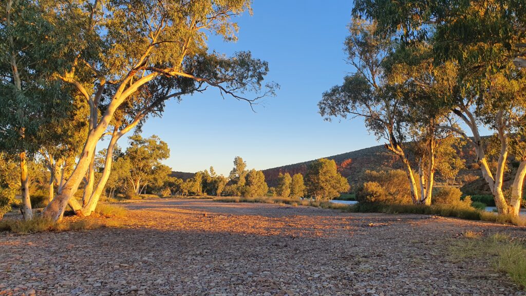
After leaving Alice, we had time to find a roadside free camp with a perfect sunset view.


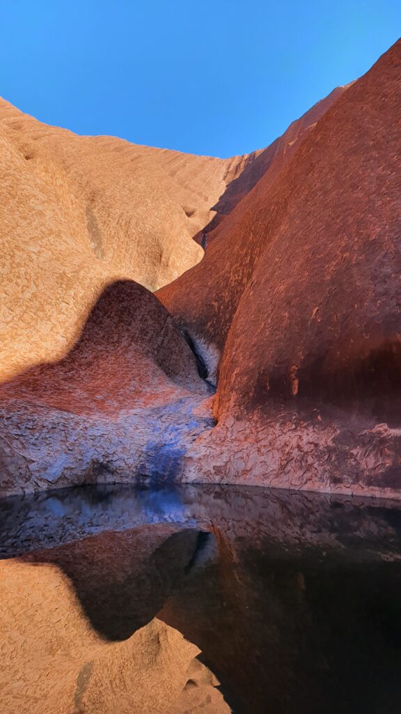
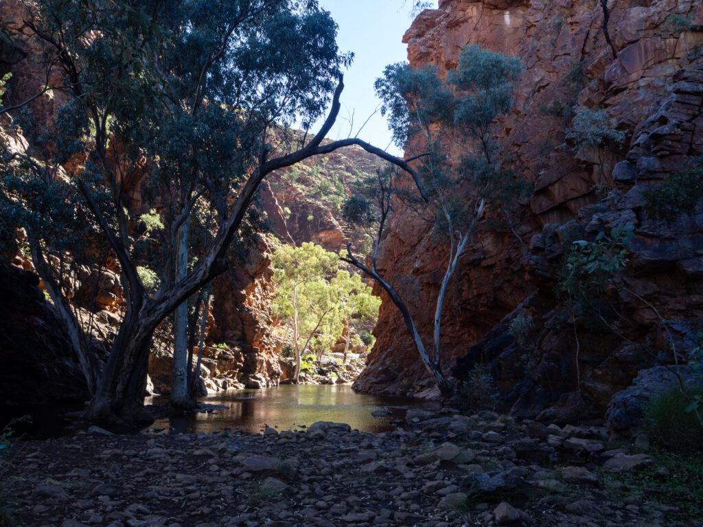
Our first stop the next day was Serpentine Gorge. The dreamtime stories say there is a snake or monster that resides in the water here, and people are not allowed to swim – this is not a safe place according to local custom. We took some photos (an example included here of the shadowy gorge and pool) and enjoyed the quiet of the place, and moved along to our next stop, the Ochre Pits.


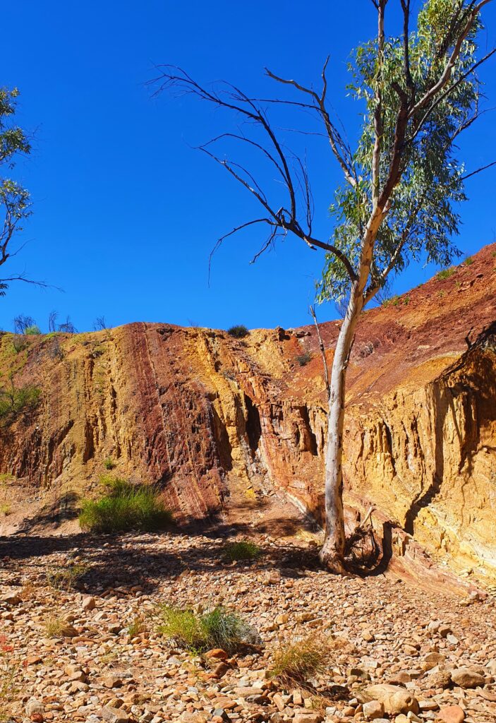
Ochre was an important resource to the Traditional Owners, using it from everything from paint, to curing ailments. These pits represent a rich source of the ochre and the colours are simply iridescent. The photos can never do it justice so I did filter this photo a little so it showed what we saw more accurately. You can see the deep red, the yellow and the lighter coloured ochres here in the vertical lines. The layers are vertical as the land was pushed up thousands upon thousands of years ago to its current vertical positioning.


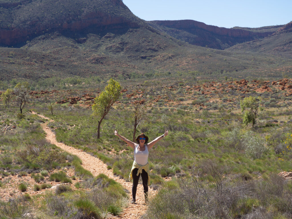
Further up the road, we were hoping to complete a walk in Orminston Gorge. This gorge leads out to a “Pound” which is a large flat area surrounded by ridges. The walk was estimated at 3.5 – 4 hours, and would take us up the south side of the gorge, around the back and into the pound. Signs warned us that there was going to be swimming in cold water involved due to the unseasonal rain, however I was confident these signs were simply a left over from months before, and it wouldn’t be an issue for us. We continued through the pound, and I was so excited by the thousands of native plants, seemingly placed as if they were a specimen display in a botanical garden. Clearly here – very happy.


Towards the end of the walk, we boulder hopped through the creek bed, and eventually came upon what the signs were warning us about. The swim. We either had to swim across the river, or walk the 2.5 hours back through the gorge, arriving at the car on sunset. So swimming it was, fully clothed and fully shoed.


Making it across, with our pack and electronics dry, we were pretty pumped and headed back to the car (and a cheeky shower at the campsite here) and on to our campsite for the evening – solitude in a river bank at yet another free bush camp. Twas a rather massive day so a fire was a nice way to unwind.


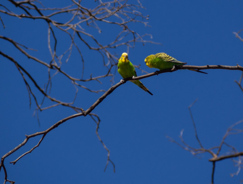
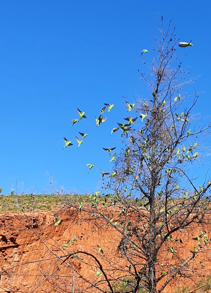
And finally, I have to mention the budgies. They are so cute and we’ve seen thousands! Adrian got this epic shot of these two lovers. Also not to be outdone, my phone shot of the chatter of budgies is below.

More adventures in the west to come as we have plans to follow the Mereenie Loop Track south through to Kings Canyon and on to Uluru. That was a bumpy ride and I’ll have a few choice things to say about it next time.

Far from the ocean – the Red Centre

By Fi

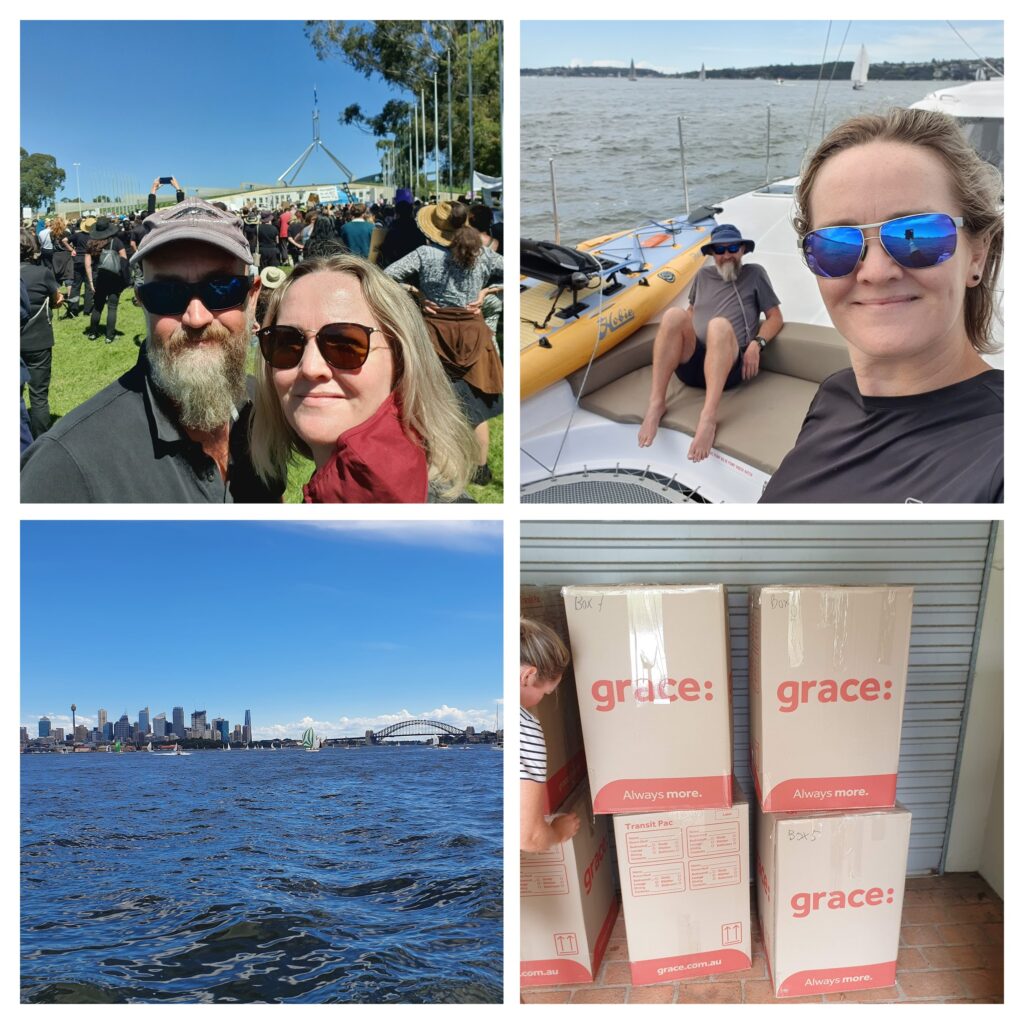
When we last blogged, we had completed our sail up and down the east coast of Australia, starting in Sydney, heading to Bowen, then back to Brisbane. Since then, we spent some time in Brisbane and on the Sunshine Coast of Australia, enjoying time with family and friends, seeing a little more of QLD, before driving ourselves back to Sydney. In Sydney we had more family and friends time, as well as the huge job of packing up our belongings, putting some into storage, and the rest in big boxes to get sent to France for our upcoming sailing adventures in Europe (more news on that coming soon!!)


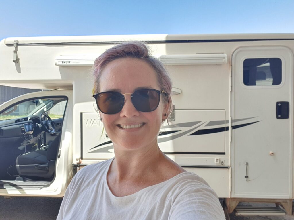
Before we head to France we wanted to see more of Australia outside the capital cities. So we hired a campervan and have a couple of months to see as much of central and northern Australia as we can. Here’s Fi in Darwin when we picked up the van. Both Fi and the van appear clean here – oh how much will change in the coming week…


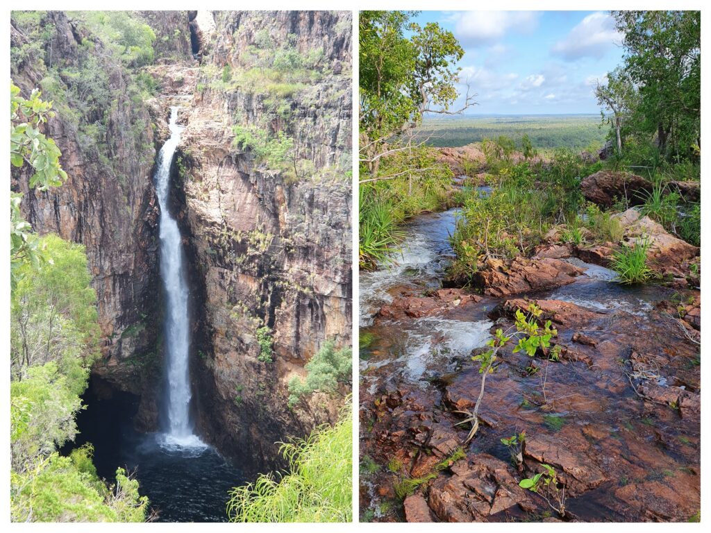
Picking up our 4WD campervan in Darwin, we drove south to visit Litchfield National Park. Stopping at the Wangi Falls, we managed a quick walk to visit the waterfalls which were stunning, before cooking dinner in the dwindling light. We are pretty used to mosquitos and sandflies from our recent sailing adventures, but nothing prepared us for the onslaught of tiny gnats and mozzies that were attracted to our internal lighting. This would end up being a theme, given we are here at the tail end of the wet, and the bugs are keen for a feed of tourist meat. Its okay, it means we are learning to eat when the sun is still up, go to bed when the sun goes down, and get up at dawn. Oh, and that the fan we bought in Darwin is worth its weight in gold to keep the humid hot air moving.


We drove through Litchfield National Park, admiring the magnetic termite mounds, and passing landscapes. We stopped at Florence Falls for one night, and enjoyed an afternoon swim in the waterhole, complete with waterfall shower. That evening, we cooked and tidied up, and were inside listening to our favourite sailing podcast before the mozzies even realised we were there.


Our next adventure was to be Kakadu. We set out from Litchfield, driving the 6 or so hours to Jabiru where the Kakadu visitors centre is located. Alas, the big wet season this year would foil our plans again, and almost everything in Kakadu is closed. We decided Kakadu would need to wait until the end of our trip, so we found a place to kip for the evening, and then high tailed it south, putting in a big day to get to Mataranka and the thermal pools.


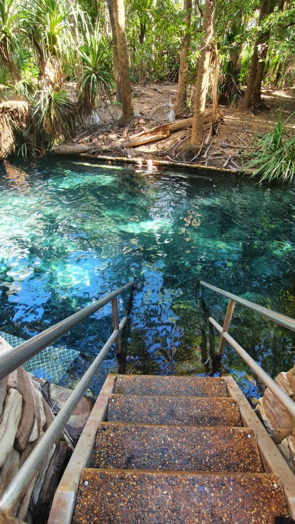
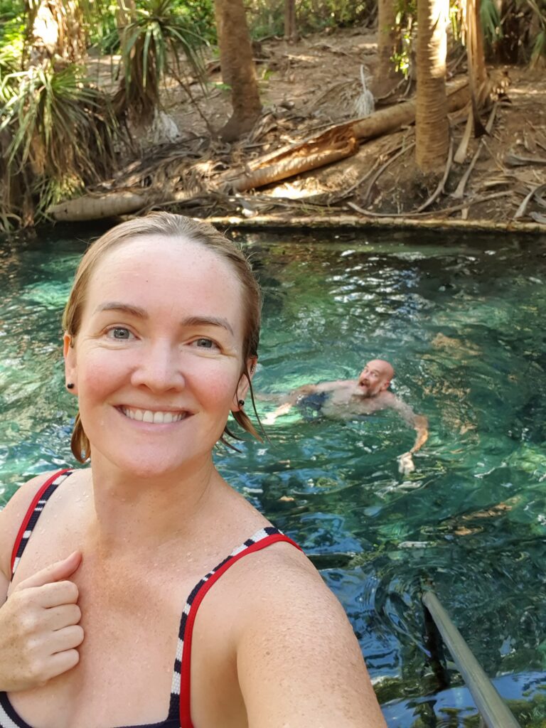
Floating in a thermal pool, at 34 degrees is a delight I recommend all partake in. Floating on my back, I stared at the canopy above, as the water filled my ears and drowned out the sounds of the other people. We stayed in the pool for a few hours, and the next morning also had another quick dip before heading further south.


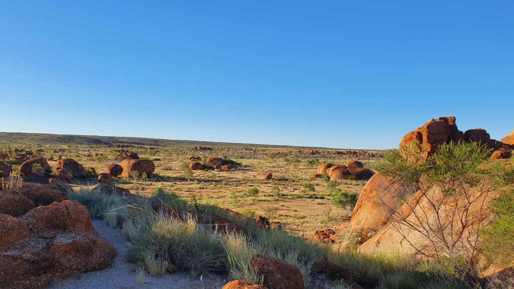
The Devils Marbles were the next stop, a spectacular landscape, red ochre, flat, except for these giant structures. We managed a walk around the these structures, respectfully at a distance of the particularly sensitive cultural areas. The photos can never do it justice.


Happily, we stayed awake after dark enjoying each others company outside the van, watching the sun set and the masses of stars light up the skies overhead. No mozzies πŸ™‚ and the temperature dropped to such a point we both needed the extra blanket – ahhh to be in the drier, cooler climate. We’ll revisit the top end once the dry season is a little more set in we’ve decided. At dawn, we watched the sunrise while and I sipped on my freshly ground soy latte (you can take the latte sipping, left leaning inner westies out of the innerwest, but you can take the… you get the idea) and then we packed up ready for another big day driving south to get to our next exploration area – the Macdonnell Ranges.


In the coming weeks, we plan to explore the Macdonnell Ranges, Uluru and head West into WA. Keep up to date with us on our instagram (@fiandadrian) and also our facebook.

Newer posts »

© 2025 Fi & Adrian

Theme by Anders NorenUp ↑