Sailing & Other Adventures

Category: 2021 (Page 3 of 3)

Year 2021

Ningaloo Coast

By Fi & Adrian


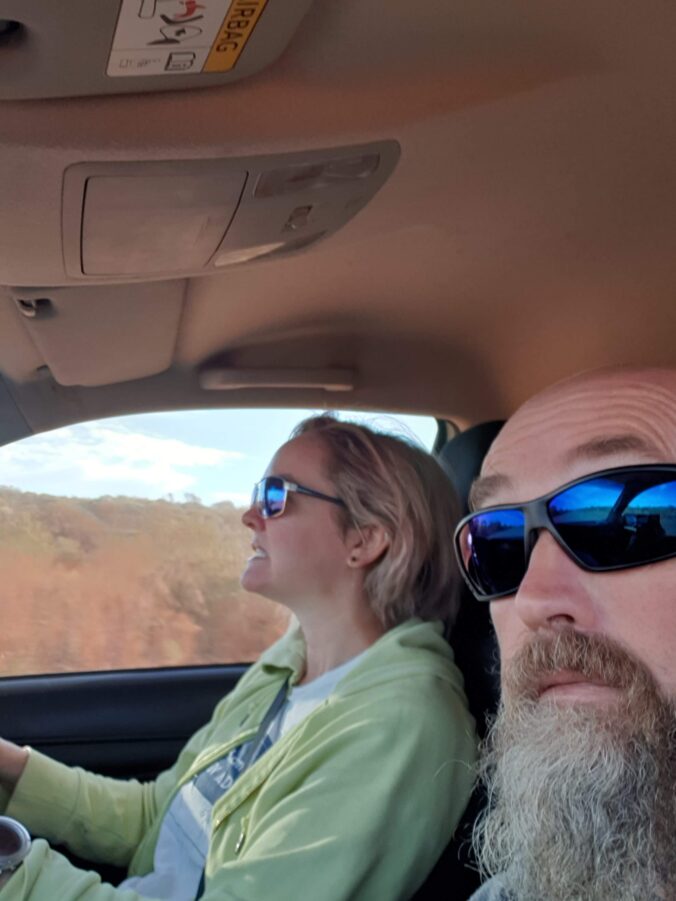
The main stop on the way north from Denham was at Carnarvon where we followed a sign promising preserves, farm produce and the best mango ice cream. We weren’t disappointed and stocked up on everything from dried mangoes to sauerkraut. In this photo Adrian is still really happy with the purchase clearly. Carnarvon is also the start of the 300km Ningaloo reef.
After sleepy Denham, in Coral Bay we were met by a mass of humanity with the large caravan parks filled to overflowing. We had a quick dinner and prepared for our Manta Ray experience starting early the next day.
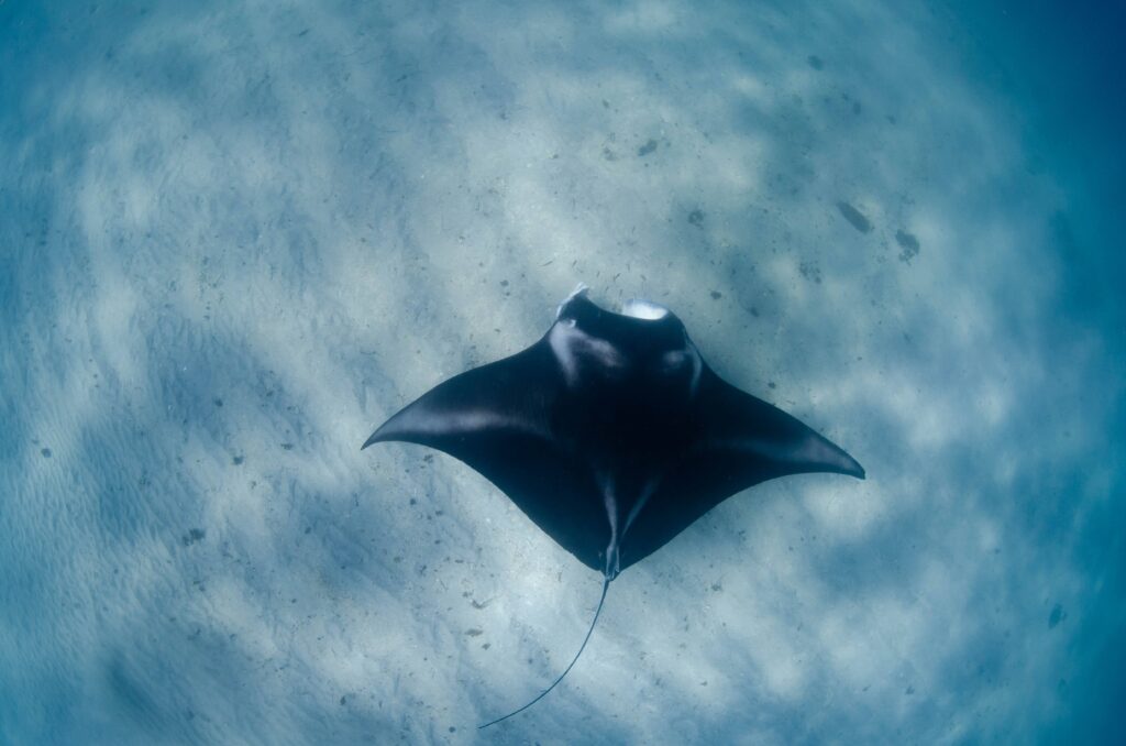
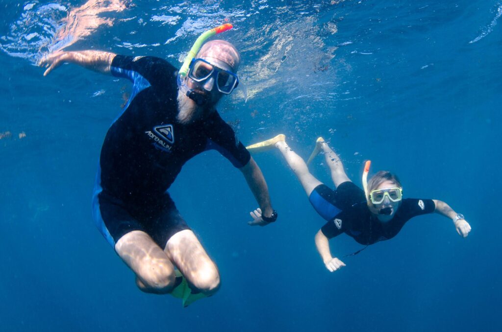
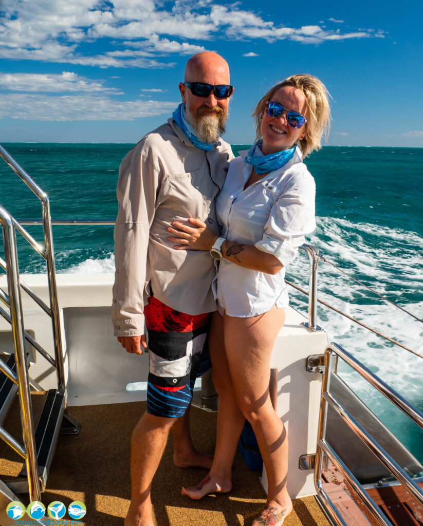
It turned out we chose a good tour as the boat was not full, the owner was a marine researcher and his team couldn’t have been more helpful. We performed the warm up snorkel (mostly to identify the ‘drowners’) and went searching for manta rays. After locating a ‘fast’ manta we got in the water and watched her ‘flying’ up and down collecting food.
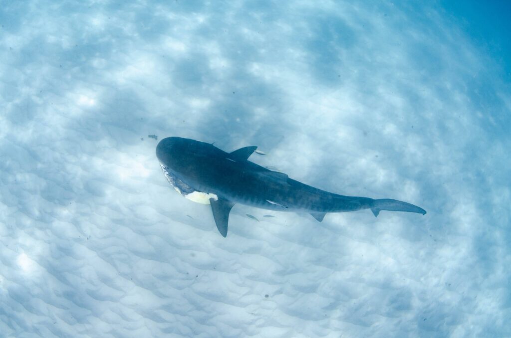
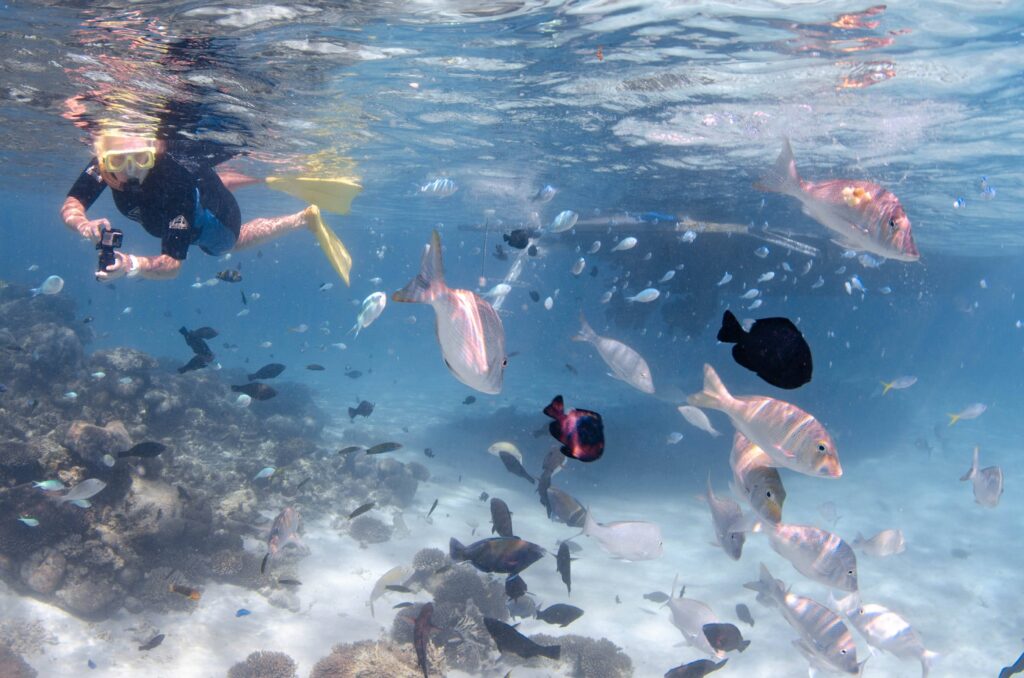
With the manta ticked off we went searching along the reef. Suddenly there was lots of excitement as splashing led us to a group of sharks eating a turtle. We didn’t enter the water but watched through our masks lying on the back of the boat until a very large tiger shark checked us out. The large tiger took the remains of the turtle and headed off towards the reef. It was described as a happy dog with a bone looking for a quiet place to munch.
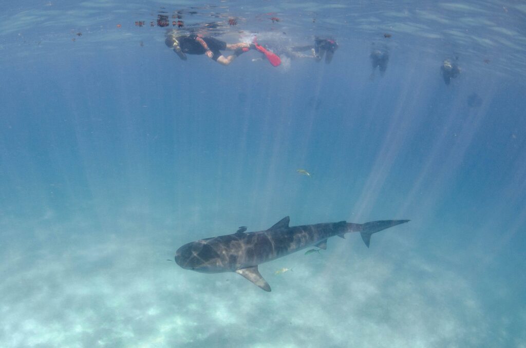
After a couple of snorkels on the reef another tiger shark was spotted and we were all herded into the water for quick encounter. Apparently they usually move on quickly when a group of tourists arrive so we needed to swim quickly. I (Adrian) had a moment of concern when I realised I was closest to it and it wasn’t moving away.
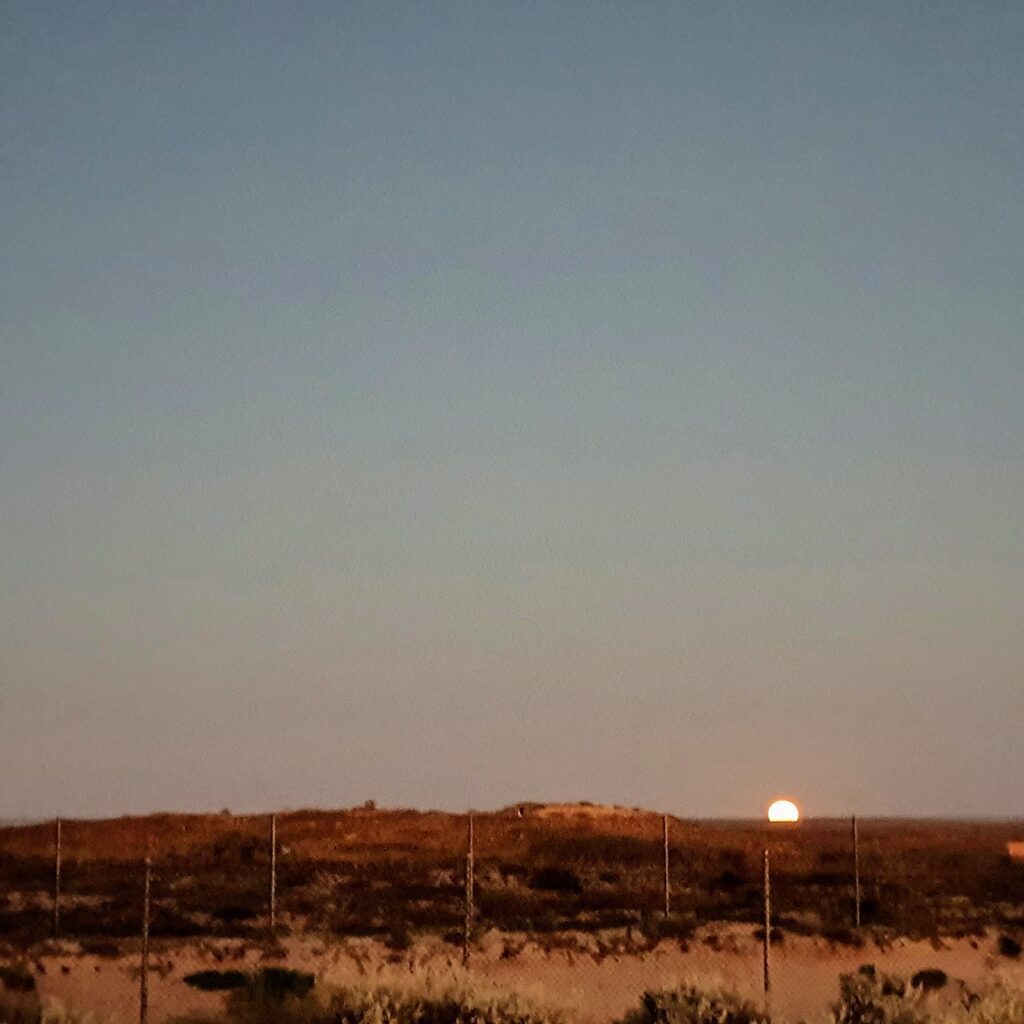

The next day we headed north to Exmouth and had a quick windscreen change before settling into the caravan park. All that bumping around on dirt tracks had big cracks walking across the windscreen!
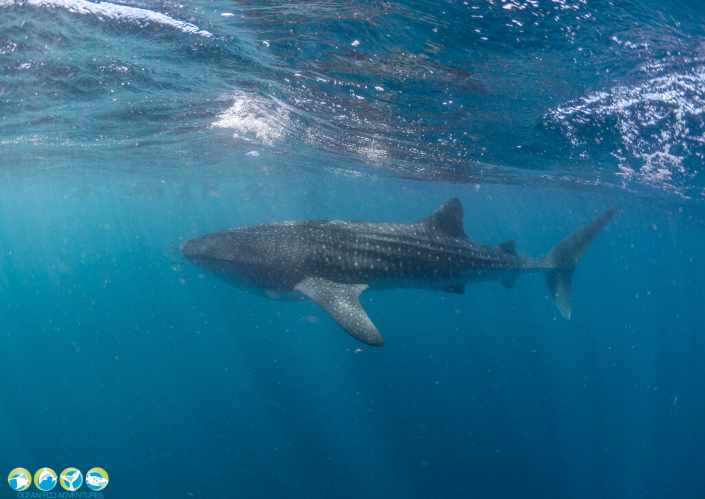
We were back in the water the next day to chat to the whale sharks. A similar process to swimming with the manta rays, we were going to be told to enter the water quickly from the back of the boat, line up and wait for the shark to come past then start swimming.
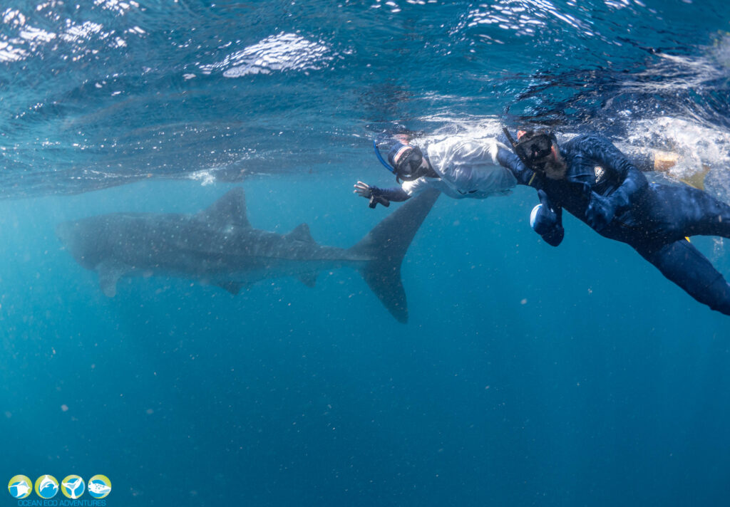
“Go” came the command, and we were in and looking to the direction indicated. by our guide. Hours seemed to pass staring into the blue, but soon enough, a dark shadow appeared, then the shadow gained form, and out of the blueness, this giant fish cruised past, munching away happily on its krill, seeing us merely as flies.
These guys were much slower than the mantas and easier to swim with. We were able to let it pass, admiring its majesty, then swim quickly around behind it around to the other side where we could have an amazing uninterrupted view of this gentle giant.

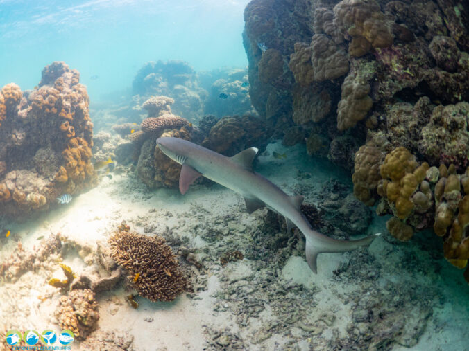
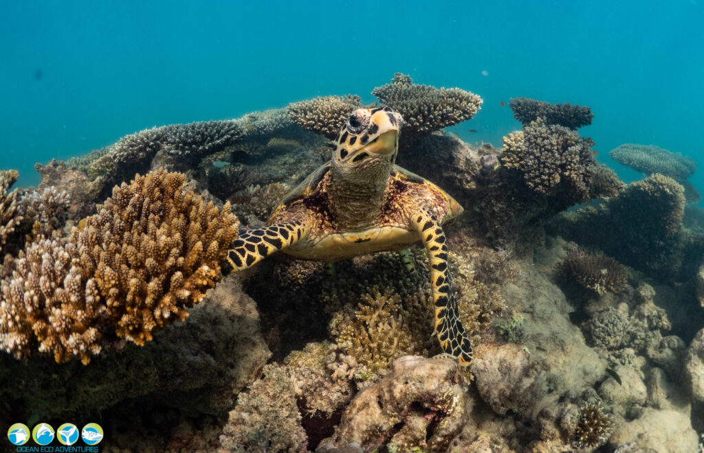
A cracked rib (not ours) shortened our trip but we went out for a bonus snorkel on the reef to finish the day off and got to hang out with this guy.
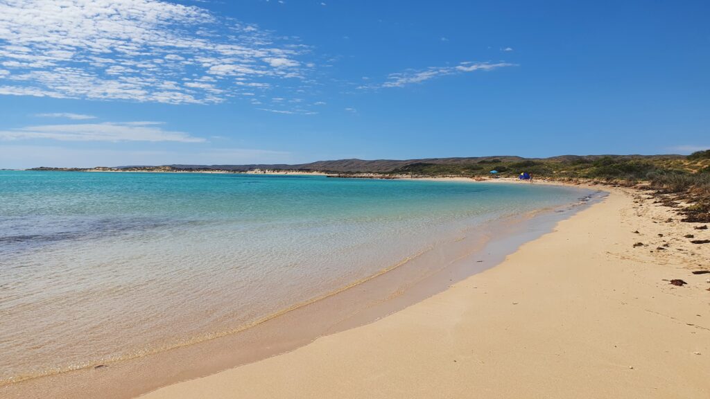

On our last day at Exmouth we rented some paddle boards and explored the Cape Range coastal area. First stop was Turquoise Bay for a paddle around on our boards in the perfect little bay. It was quite busy so after some good body movement, we headed south along the parks coast to Sandy Beach for a swim and practiced some handstands because, why not.
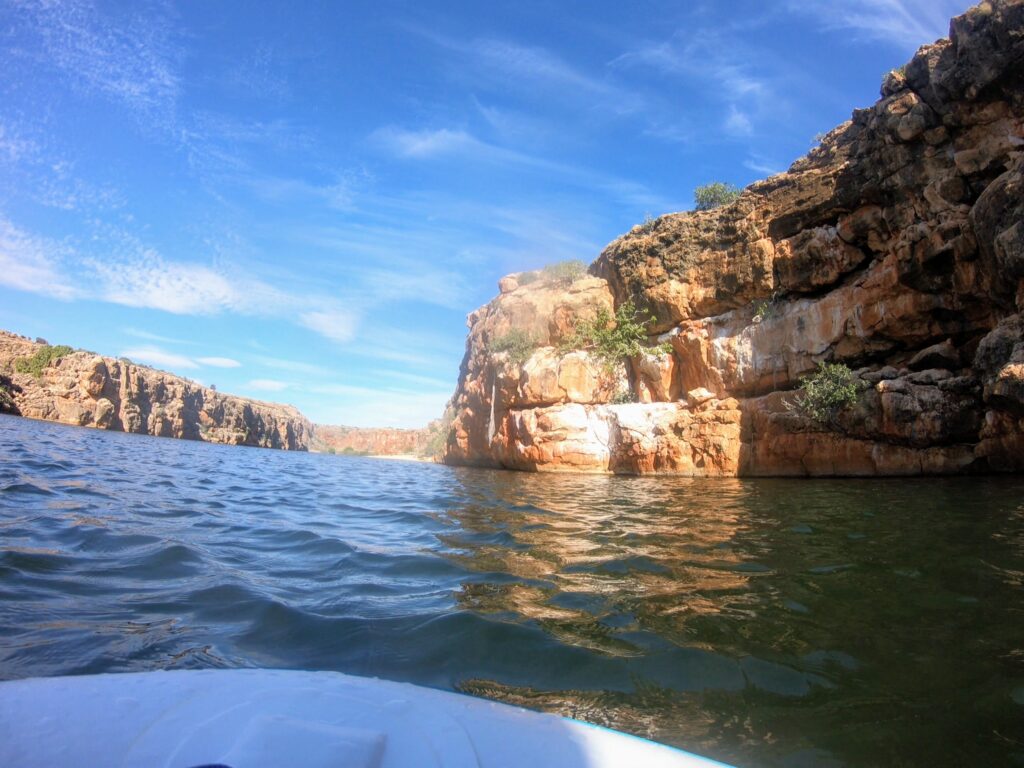
Finally, we took off to the very southern part of the road in the park and paddleboarded Yardie Creek. Paddling down the creek, it wasn’t long before we felt numerous eyes on us… Looking up we clocked the local protected wildlife, the black footed rock wallabies staring at us from their perches on the creeks sheer cliff walls. A stunning little creek, it didn’t take us long to head up to the end and back, so we had time for extra swimming at Sandy Bay.
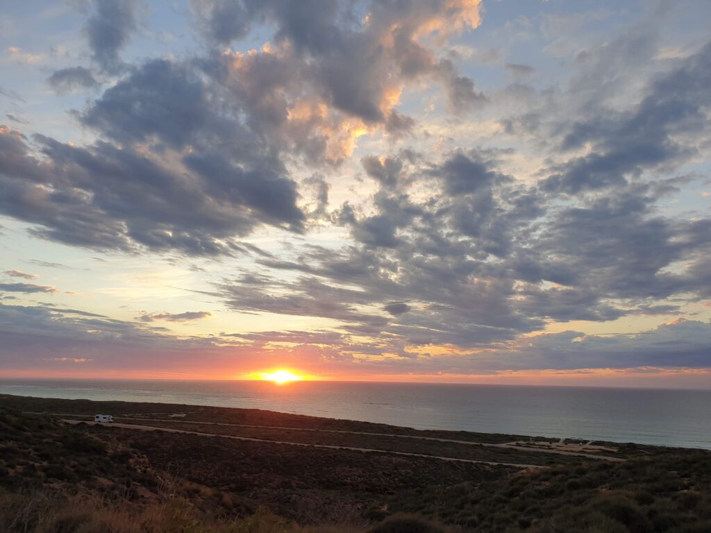
Sunset at the lighthouse is mandatory and didn’t disappoint.

Enough coast for a while. Its back to the hills…
Half way map and a bit about our temporary home

By Adrian

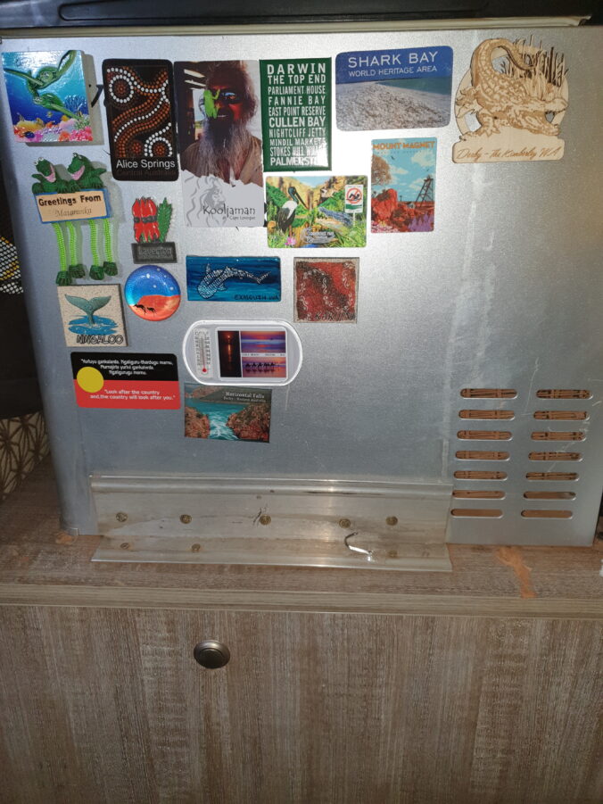
We can tell that we are a bit over halfway through the trip because the fridge is a bit over half full of magnets.

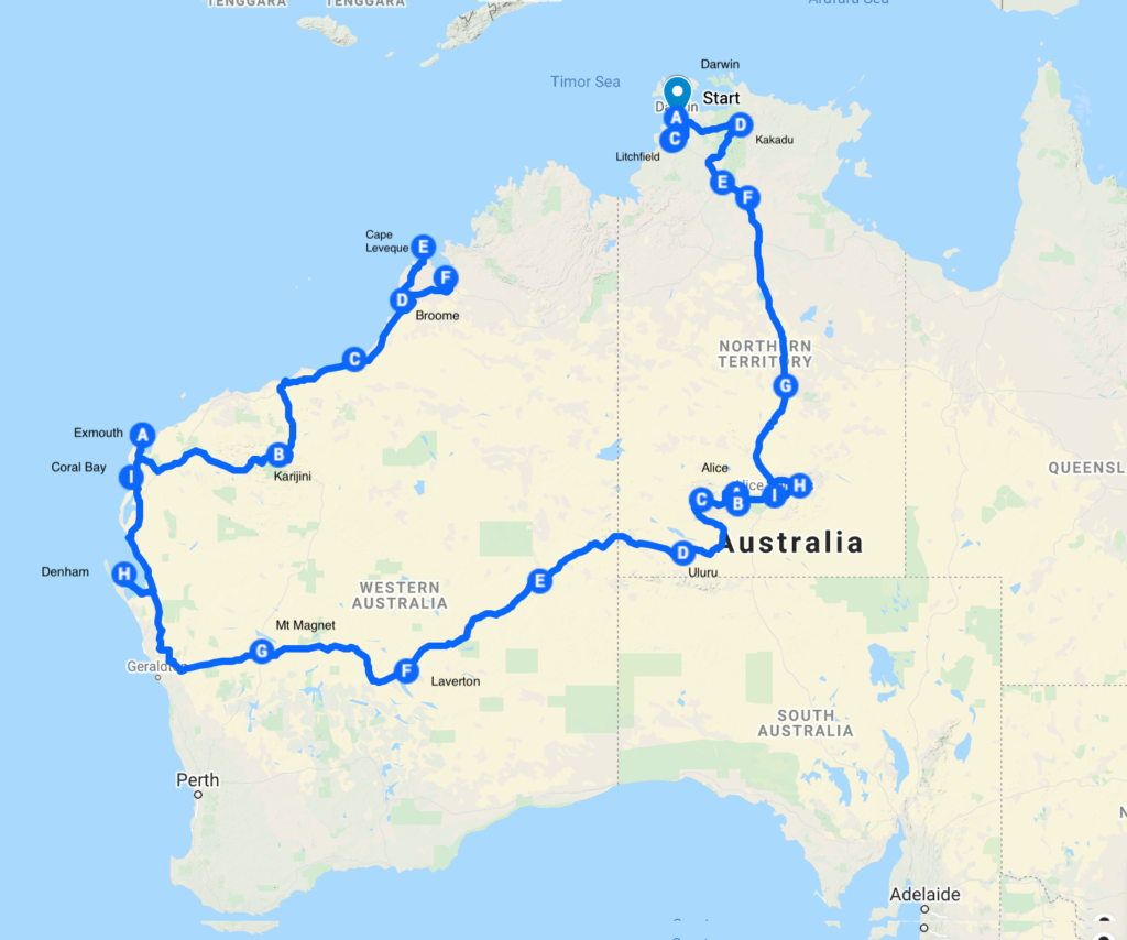
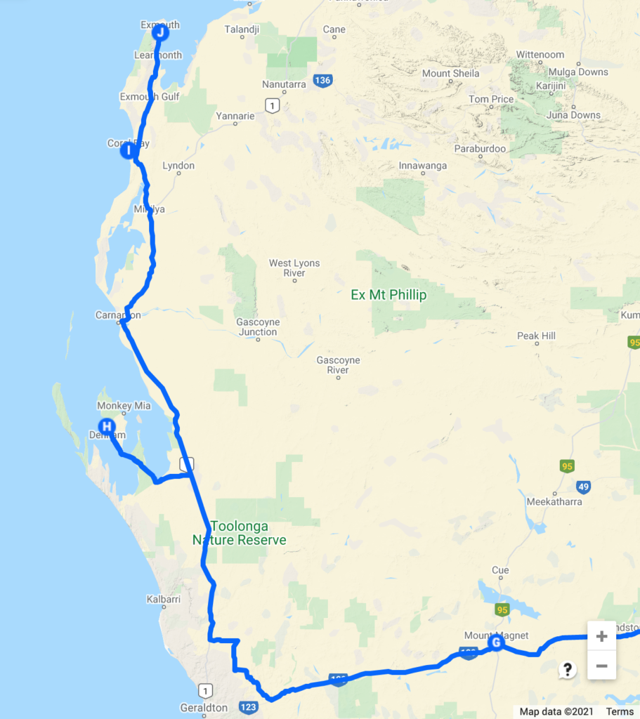
Writing from Broome we have covered a little over 9000km and still have three and a half weeks to go. We have had a request for a map, so the map below shows our track so far (the blog is a little behind the map ;-)) and the letters are the approximate locations we spent an evening or two. This plan gives us some time to enjoy the Kimberly and duck into Kakadu on the way back to Darwin. That is the current plan, but the only certainty is the plan will change…

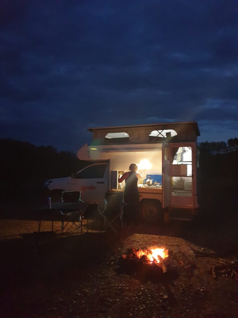
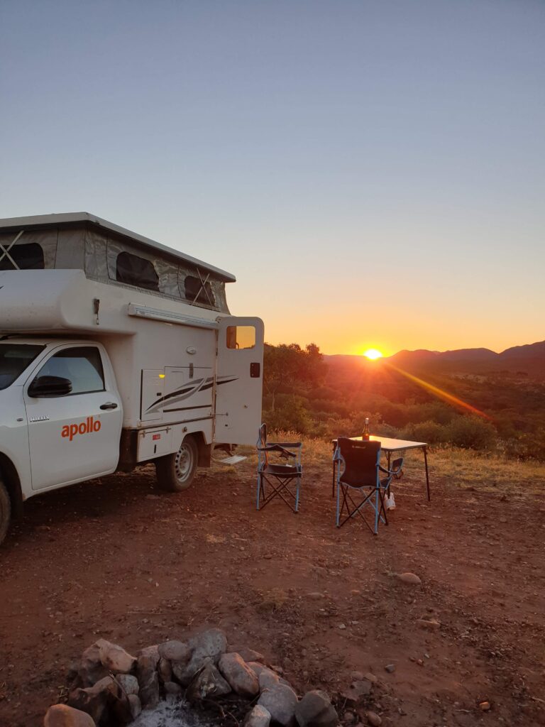
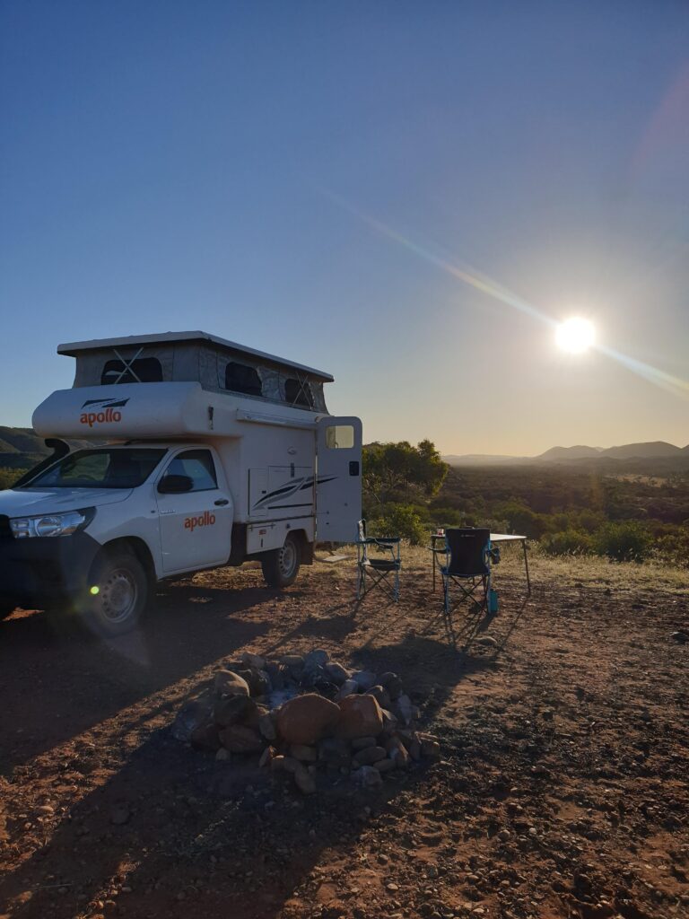
The ‘snail’ (our Apollo Hilux pop top camper) has proved ideal. With the large distances to travel we rarely stay in a camp site more than 1 or 2 nights, so setup and take-down time is important. Setup isn’t much more than sweeping out the red dust, popping the top and opening the stove.

The 4WD won’t get us over ‘serious’ 4WD tracks but has got over some pretty rough tracks into remote campsites.

When the extra diesel jerry cans are full we have around a 1000km range which has been more than enough.

We can be off-grid which often results in quieter more remote camp sites. It has become a running joke how often there is an empty campsite with great views around the corner from the crowded site with showers and ‘toilets’.

We have also tried some caravan parks in bigger towns which has given us the chance to catch up on washing and refill water.

So far the snails only injury was a windscreen that ended up with too many chips and cracks. We replaced that in Exmouth.

Normal blogging to resume shortly…

Heading to the Coast

By Adrian

Leaving Laverton we opted to head to the coast rather than an inland route through the wheat belt. Our route took us west to Leonora and north to Leinster for the night before we could turn west for the coast.

Leinster was our first mining town catering almost exclusively to fly-in fly-out workforce from the local mines. It worked well for an overnight stop: $20 for a powered site, wide variety of food at the pub, and no reason to linger in the morning.


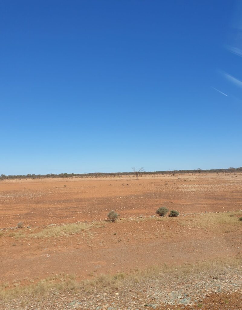
A visit to Mt Magnet was mandatory to acquire a Mt Magnet fridge magnet for Fi’s fridge magnet collection. Grids on the road announced the start of ‘sheep’ country. We spotted an occasional lonely sheep searching for feed where once there had been grasses. Now devoid of ground cover plants we had perhaps found the Australian desert.


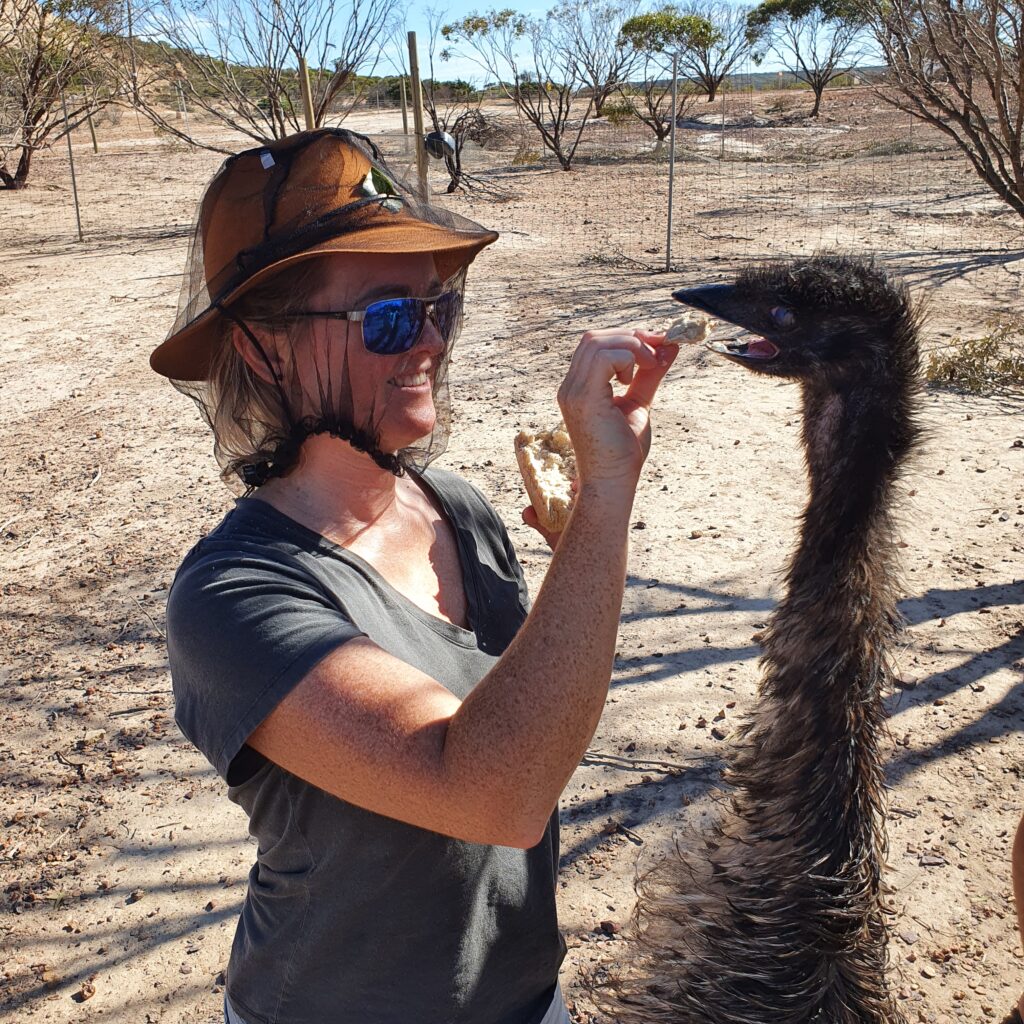
Our habit of searching Wiki Camps for an appropriate overnight stop near Geraldton revealed a highly rated farm stay with a tour of the animals. It turned out they rescued injured and unwanted animals from ostriches to kangaroos. They all expected us to feed them and we spent a pleasant morning learning about their background whilst handing out breakfast.


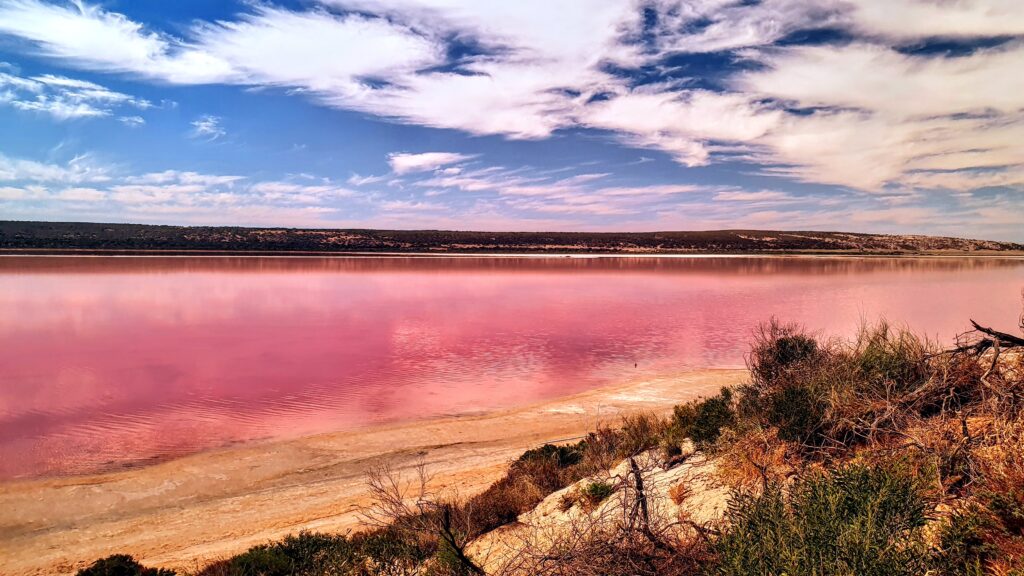
The coast beckoned and after passing a pink lake we bypassed Kalbarri which was recovering from a recent blow, and made for Denham on the edge of the Francois Peron National Park. Unpowered sites are often ‘a field down the back’ but here we had absolute beach front with an uninterrupted view of our first sunset over the ocean.


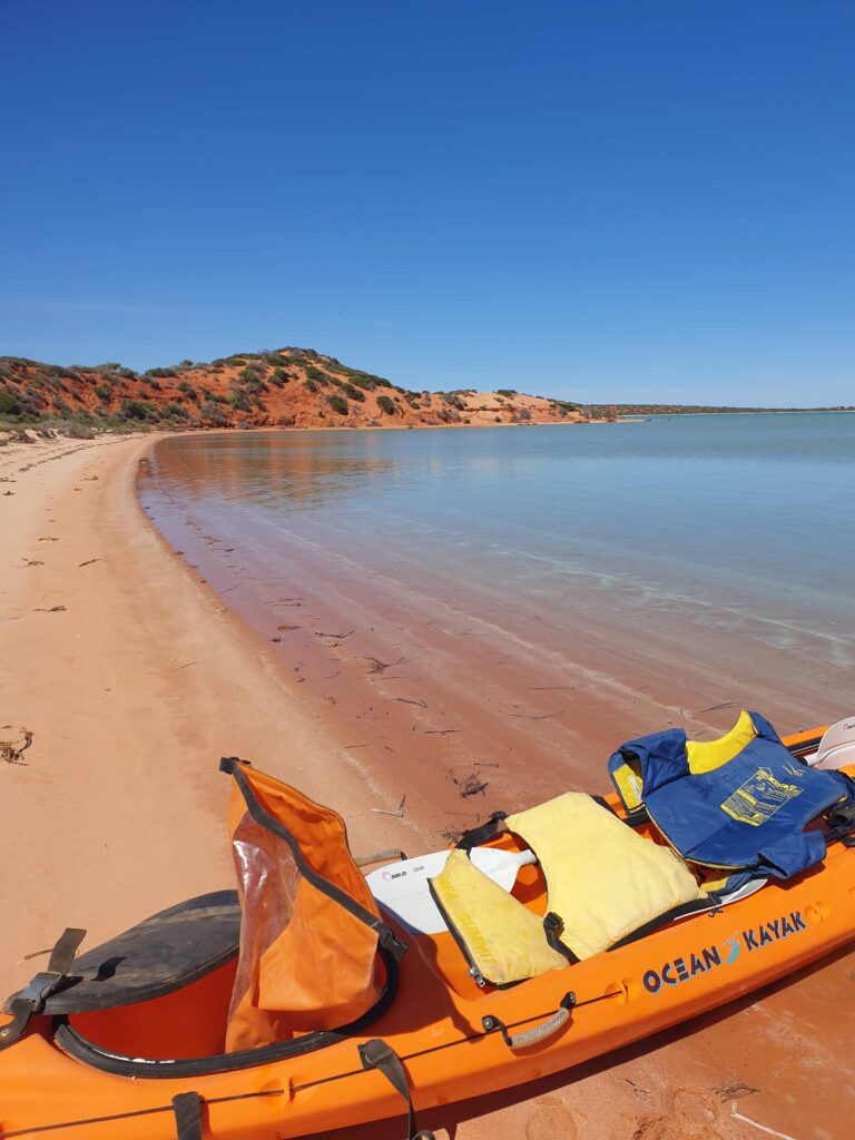
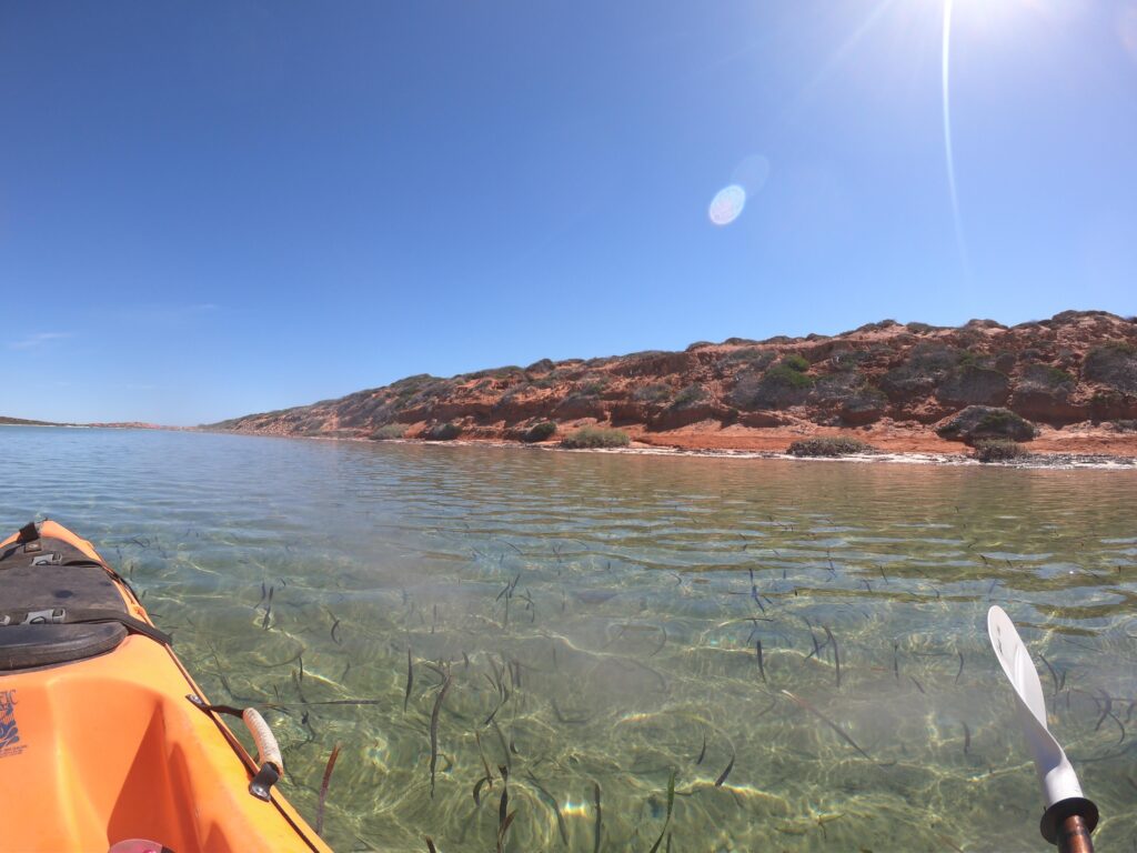
Our tour the next day was with ‘Capes’, a local man who had grown up in the area when it was a goat farm and later helped the area gain National Heritage listing. After a short drive and introduction to the area we kayaked through the shallow turquoise waters of “Big Lagoon”, stopping to identify animal tracks, take in the views and learn how the native animals were returning to the area as in the invaders were being removed. Who knew that echidna tracks head away from their destination?


We spent the day like this, kayaking and learning about the area. We saw sharks, rays and fish, and the odd kangaroo. We went for a cooling swim in the turquoise before working out kayaking muscles and getting back to land for a fresh cook up of locally caught snapper and salad. Each time we landed we were introduced to the country as its not good to surprise the country.

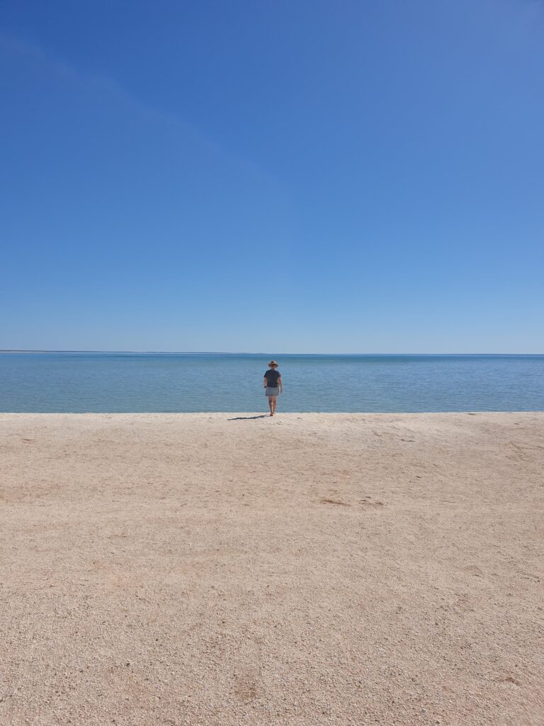
The next day was moving-on day and we headed back down the peninsula stopping in at the beach made of shells. Next stop Coral Bay and Ningaloo Reef.

The Outback Way

By Adrian

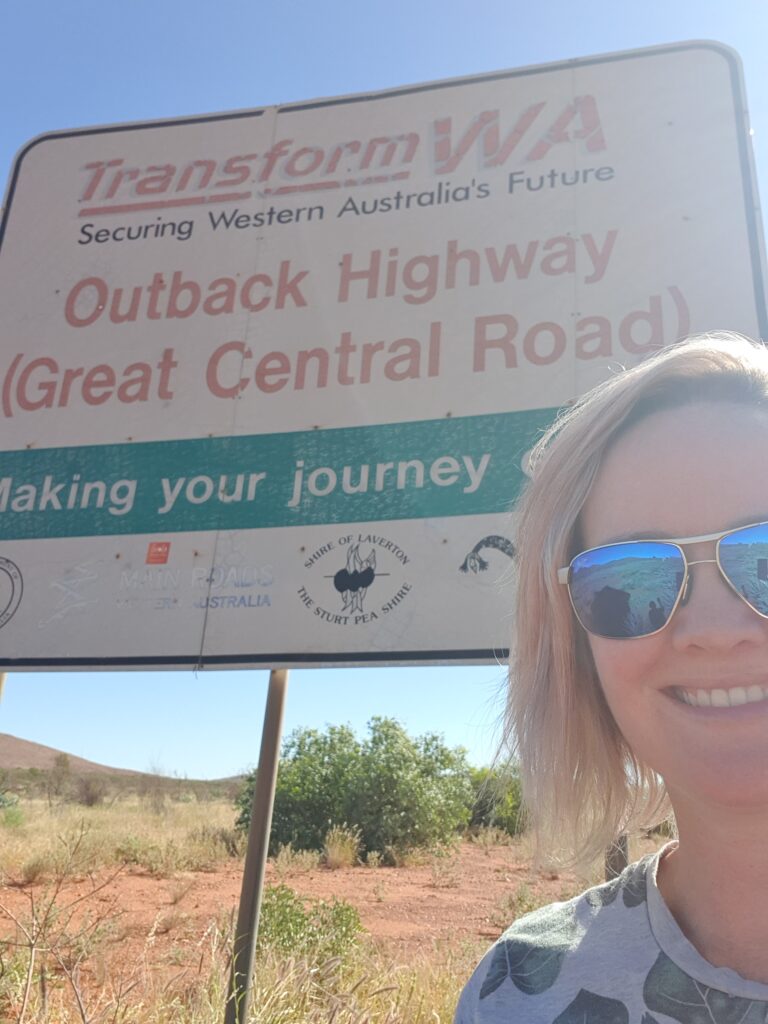
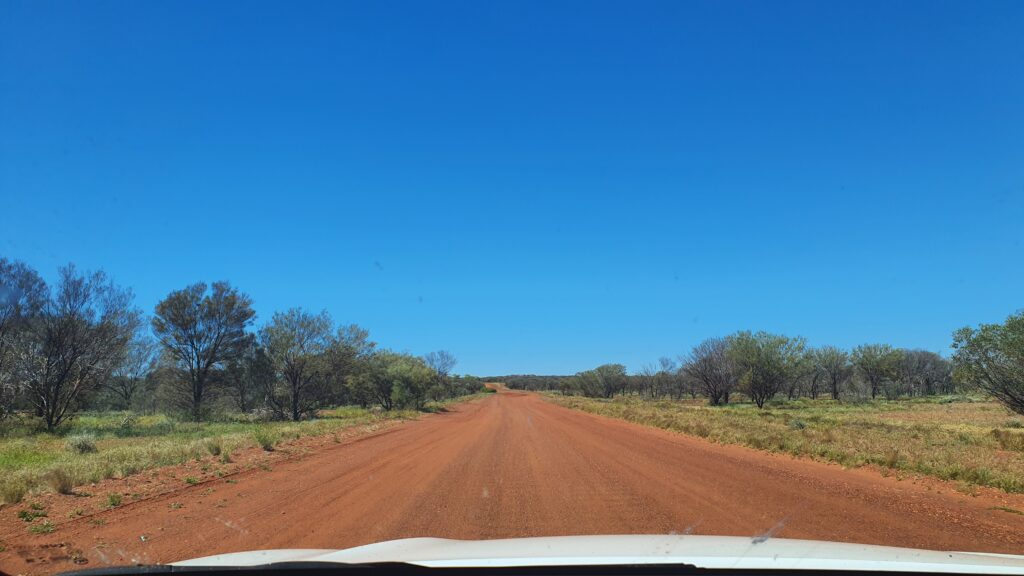
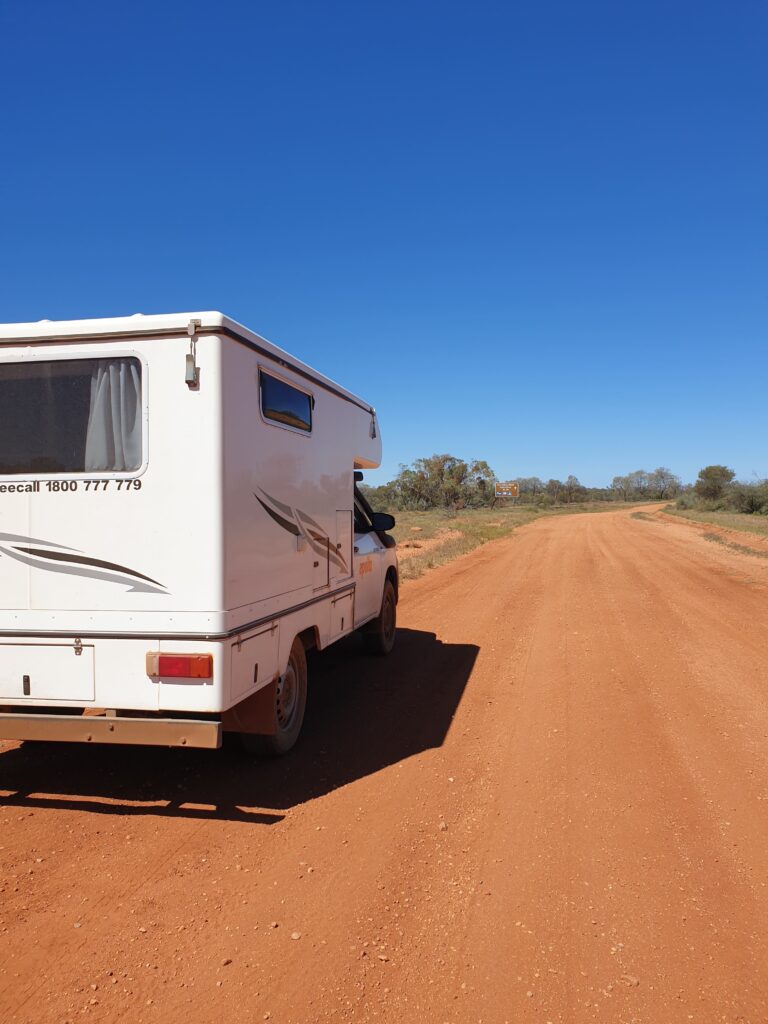
We left the throngs to Uluru and turned right into the Gibson desert. The Outback Way is a million miles of dirt road traversing the continent, with the occasional short tarmac section accompanied by a sign proclaiming a federal government improvement project. Chatting to a worker at one of the upgrade sections he mentioned the dream of tarmac running from Western Australia to Queensland. I asked when he thought it might happen. He smiled and looked away into the desert.

The dulcet tones of ‘Dark Emu’ by Bruce Pascoe accompanied us as we headed deeper into outback. We were amused by the European definition of desert: ‘an area unsuitable for wheat and sheep’. Indeed the south Gibson desert was not sand dunes as one might imagine, but a series of vegetated landscapes. We had grown up learning the carefully orchestrated ‘hunter gatherer’ story taught in schools. In Dark Emu we found a very different Australian civilisation presented in the early explorers journals.

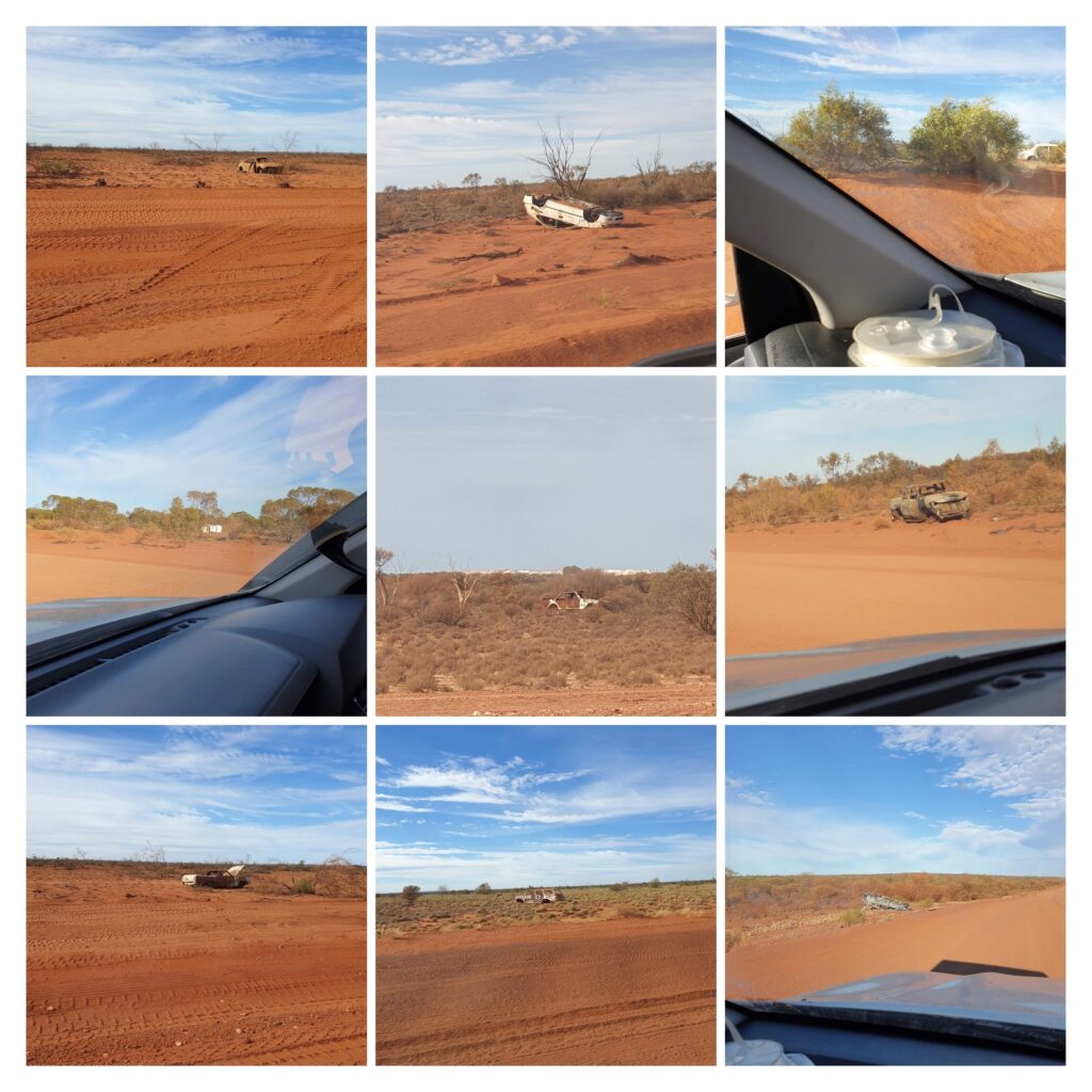
Every few hundred meters along the Outback Way another abandoned car pays homage to the fragility of modern technology. Shaken out of existence these vehicles are left to rot where they died forming a sort of museum of automotive history. Ford’s from all ages seemed overrepresented although its unclear if due to popularity or engineering.

Our pop-top 4wd Hilux was referred to as a ‘snail’ when we visited a station in the East MacDonnalds. It seemed appropriate as we slowly traversed the landscape carrying our home with us. There are many un-signposted camping areas just off the road. We can sneak into these as the flies go down, light a fire and watch a billion stars appear over the fading carcases of bygone cars.

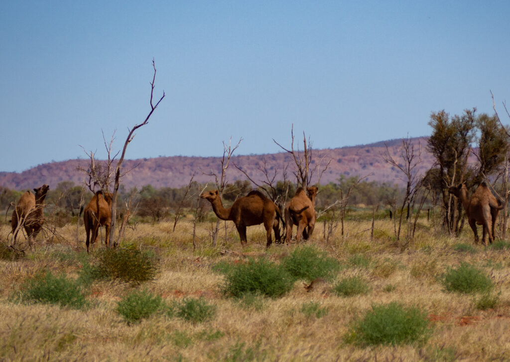
Camels cross the road ahead and pause to observe us as we slide to halt behind them. The look of bemusement on their faces suggests this may be the first camera toting white snail full of excited waving tourists they had seen today. They meander slowly into the bush no doubt more worldly and with stories to tell the grandkids.

On day 3 we rattled off the last section of dirt road and arrived at Laverton, a type of civilisation with which we are familiar. The friendly staff at the information centre made approving noises at our outback expedition as they served us coffees and cake. The books in the information centre told of early European explorers enduring hardship in the outback, but likely nothing compared to a million teeth clattering, bone jarring, buttock clenching miles in a white snail.

Glossary:

Corrugations – road surface designed to shake vehicles to destruction

Outback Way – parking lot for vehicles that take on the corrugations and lose

Rough Surface – a smoother section of road in an otherwise rough road surface

Floodway – section of road where vehicles travelling at 110kmph meet piles of sand and rocks

Washout – section of road now located downstream

Point of interest – an unusual tree, a wooden cross, a large rock, writing on a burnt out car

Corner – a rare road feature worthy of signposting

Mountain – any land 20m or more higher than the surrounding land

Road train – large red dust storms moving across the landscape

Tyres – temporary vehicle attachments mostly used as road art

Federal Road Sealing Project – a signpost, 2km of sealed road, 50km of road works

Waving – competition to get the most responses from oncoming traffic

Oncoming traffic – 3 hourly occurrence indicating time for driver change

Grid noise – compulsory ‘weeeeehhhhyuuup’ noise made before crossing a grid

Tarmac – a mirage made by heat on red dirt road

Red dirt – stuff coughed up after 3 days on the road

Mereenie Loop, Kings and a Rock

By Fi

When we last left off, we were just about to head on to the Mereenie Loop Road – a permit only, unsealed stretch of road leading from the west side of the West MacDonnell Ranges, to Kings Canyon. It had varying reviews as to the road conditions, and we had a vehicle that we knew could do it, but the choice was – could we? Yes, is usually the answer in these situations, so off we went, west from a little town called Hermannsburg where we had stopped for a little look and our permit to drive the road.


Our “shortcut” would take us about 3 hours, and would include 200 or so kilometres of corrugations, bolting brumbies, corrugations, amazing scenery, corrugations, more brumbies, corrugations… (if you don’t know what corrugations are, then you are lucky – they are the bone jarring bumps that form in unsealed roads after a time of cars driving over it). So it was a little bone rattley, but Adrian handled ALL the driving like a trooper (I made a note to offer to drive in these situations…), and we stopped at a roadside camp on the top of the escarpment right, at the end of the loop in order to watch the sunset and get some still time, ready for some walking the following day at Kings Canyon.
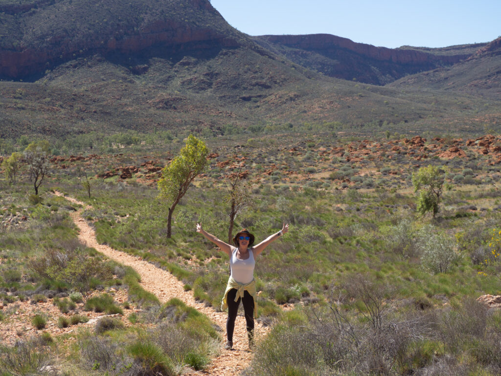

It was totally fine temperature the day we chose to complete the Kings Canyon rim walk – they do close it when the temperatures get high as it is very exposed to the sun. This part of the world is just stunning and the tourist numbers certainly talk to its majesty. Its not short of beauty, or people! First off on our walk, a huge stair climb and passing people, before wandering over the top of the gorge, admiring views, plant life, bird life and the huge stony structures created by thousands of years of water and weather.


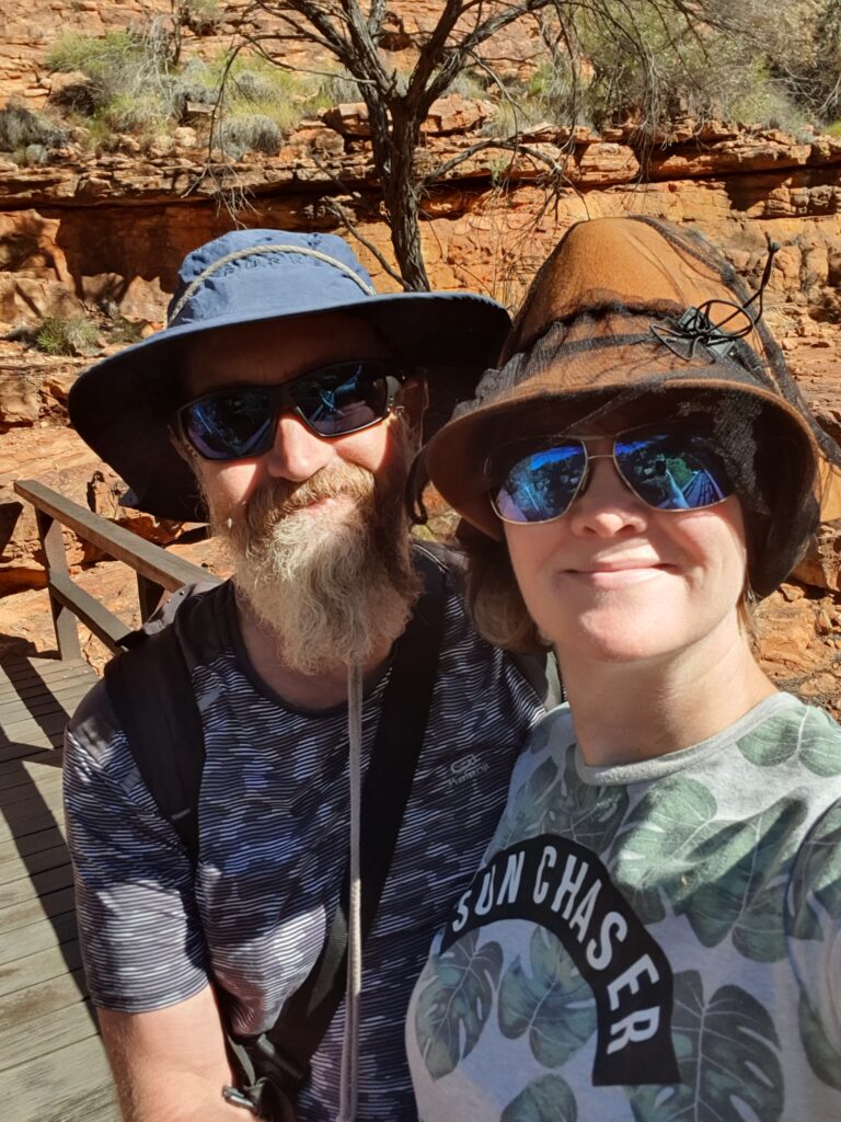
I must admit, we are on a little bit of a timetable and there is a lot to see, so once we had completed our walk, we reapplied the calories with some pizza, jumped back in the van, and drove south to Uluru. We arrived at Yulara (the Uluru “resort town”) a few hours later just in time to grab a spot in the campground, and then head out for a sunset viewing of the famous rock. No time for stopping on this trip! Here are our happy faces part way through our first adventure of the day at Kings Canyon.


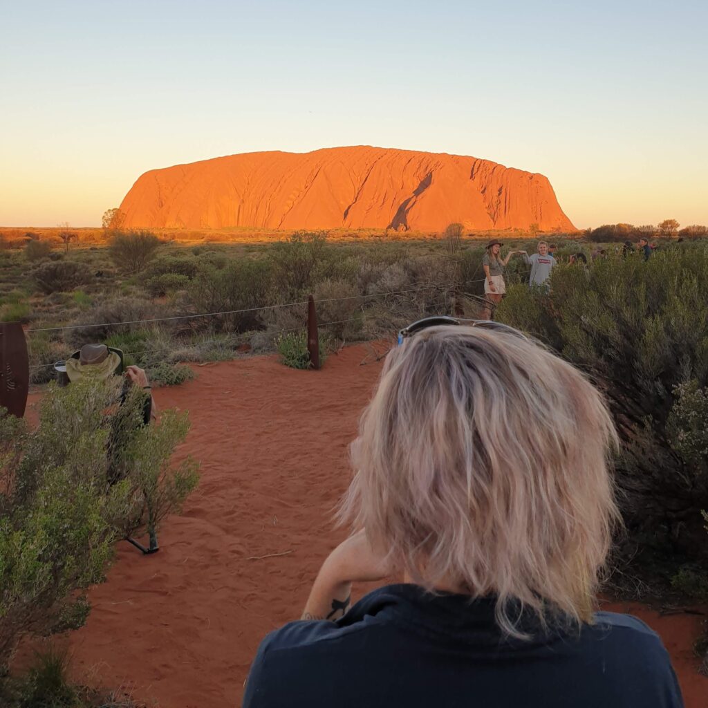
Adrian had been here before, so he knew what to expect, but I didn’t! As we rounded the corner and over the small hill that revealed Uluru for my first ever view, I was gobsmacked and just said “Wow” a million times. I didn’t realise how big it really is, and what a presence it has.

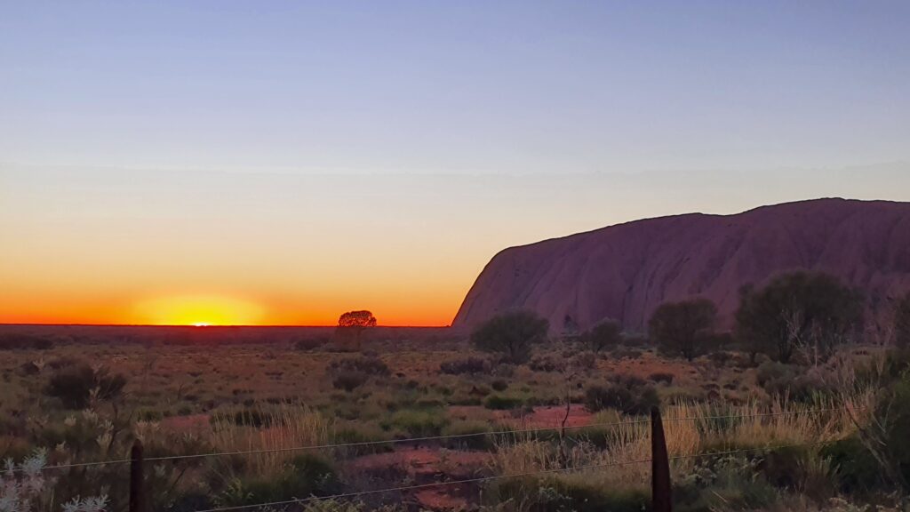
Non-alcoholic sundowners were had (if you are seeing a theme of no alcohol, you’re correct – we’re off the booze for a while) and we headed on back to our allocated campsite for the night.

I’m sure you’ll excuse my unwashed, unbrushed hair in this picture – must admit, not a priority – but I’m sure you’re not looking at that.


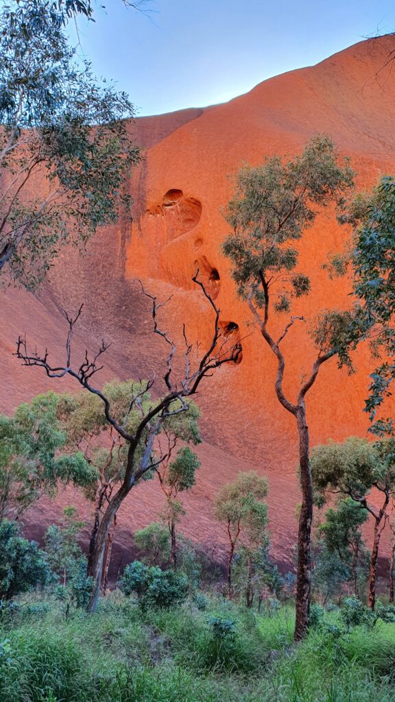
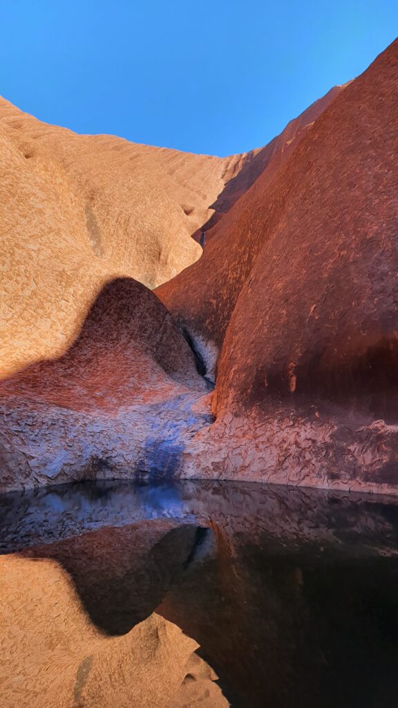
Walking was again on the cards for the next day – EXCEPT we needed to do the sunrise at Uluru too, so after a decent sleep, we were off back to the rock for coffees, sunrise, and then to do the base walk. Again, awestruck, I walked around the base of this amazing structure, and took a lot of photos. Dreamtime stories abound as does the history and the connection of this place to the Traditional Owners.

Enjoy a few extra piccies of this world heritage listed site.


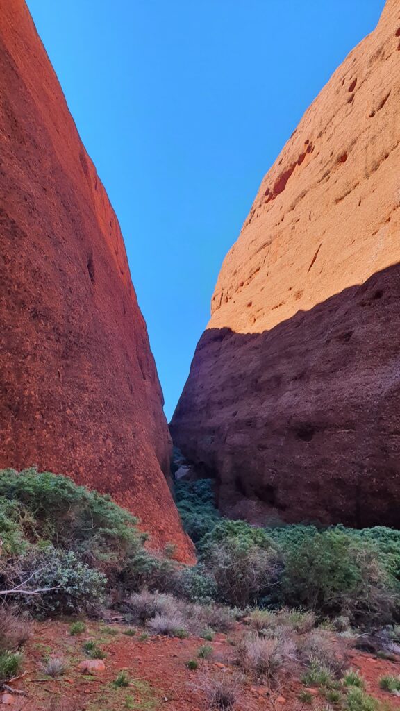
But its not all just about Uluru at the National Park, there is also Kata Tjuta (The Olgas), and keen to also see this imposing landmass, we drove over to Kata Tjuta on our third and last day in the park, walking the shorter, but no less spectacular gorge walk this time, as the tootsies were telling me they would like a little break.


As much as we could spend a lot more time here, doing all the walks and eating at the restaurants and seeing the cultural displays – our tick tocking timeframe called, and we knew we had some serious driving ahead of us on our next leg. The Mereenie Loop had not put us off driving on unsealed roads, and so we were to complete part of “Australia’s Longest Shortcut” and drive over the Great Central Road (also called the Outback Way) from Uluru, past the Docker River, through Warburton and finishing at Laverton. I’ll hand over to Adrian and his amusing prose for that blog 🙂

The MacDonnell Ranges

By Fi

We arrived into the MacDonnell Ranges after travelling from the Stuart Highway, along Binns Track, an unsealed dusty track that lead us to the Hale River Homestead, our stop for the evening. Hale River is a great place, in the bush with loads of history, bush walks, a bar, pool, great facilities and so we relished a non-alcoholic beverage, a little toe dip in the pool and enjoyed the respite from the bumpy track. Ok yes, there were about a million giant mozzies, so we didn’t fancy staying as long as we would have liked.


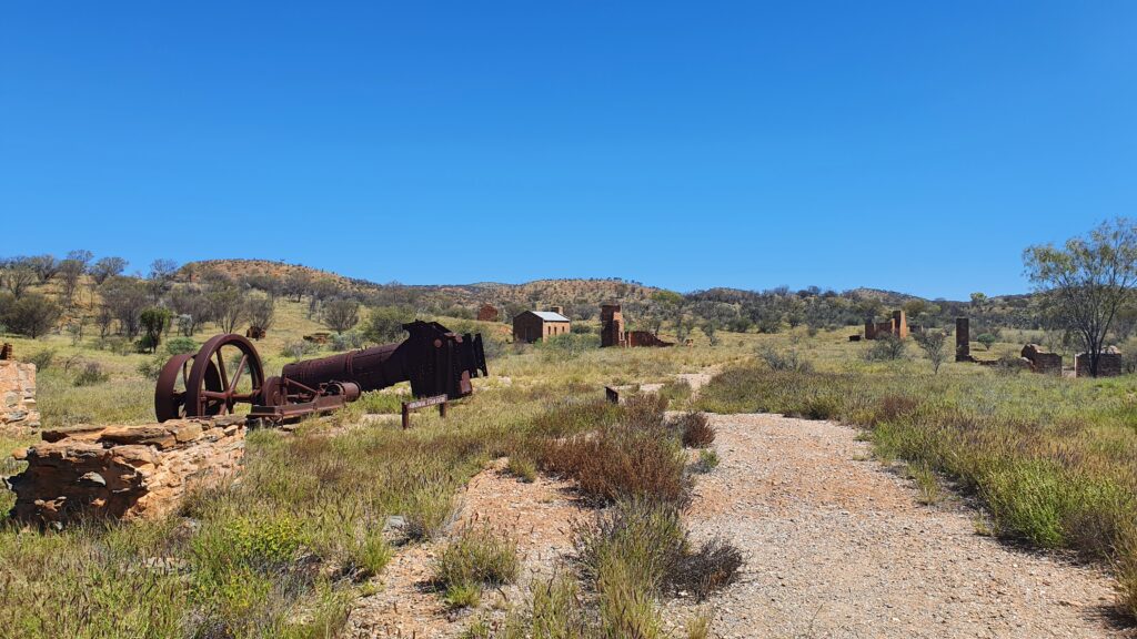
The next day we were off again, this time towards Arltunga where one of the first gold mines and inland towns in Australia was constructed. Unfortunately, the traditional owners had been driven off their land due to these developments, and now all that appears to remain are the ruins of the mining town, inclusive of police station, government buildings and mine hardware.


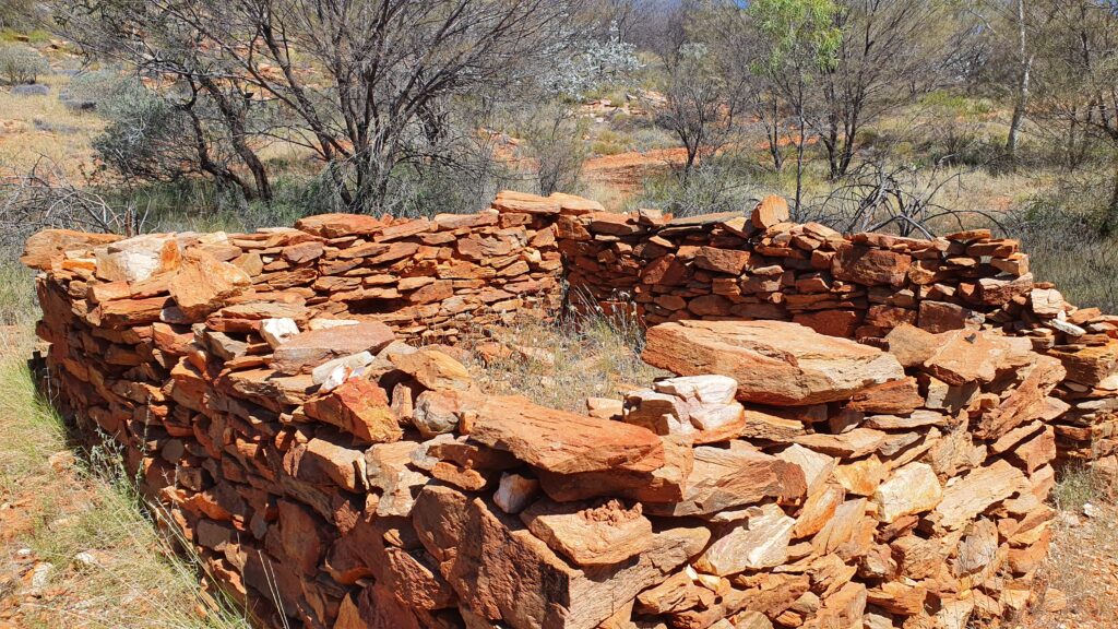
We went for a walk to the colonial cemetery and to a couple of the gold mines. The colonial people here did it hard, and apparently often the amount of gold they found, wasn’t worth the cost of living there. They had to ship in food and water and great expense just to live there in a small, square stone hut with a canvas roof.


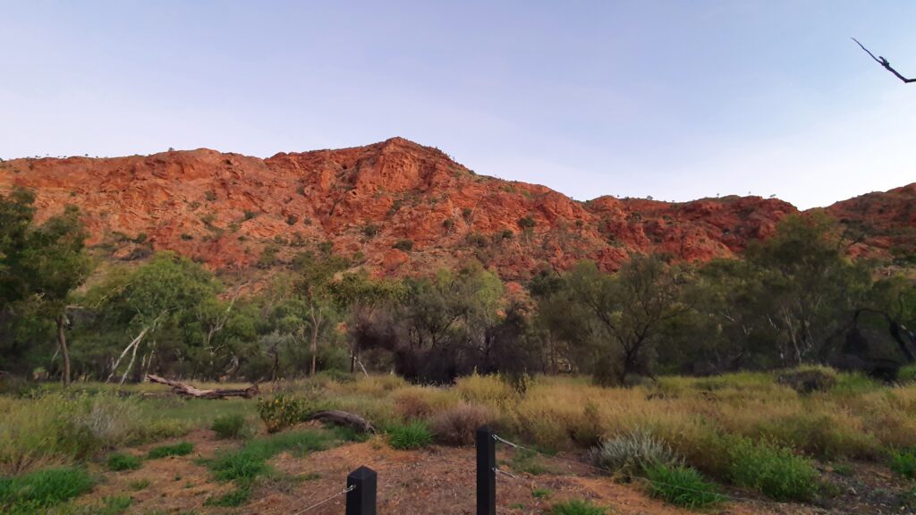
After a little while of looking around (and a big chat with the local Ranger who was so excited to see a couple of tourists), we headed to our campsite for the night, the “Panorama” campground in the Trephina Gorge. A quick walk up the dry river bank confirmed our plans for the following day to walk the Panorama Walk on the rim of the gorge. We watched the sunset colours change on the gorge wall as we enjoyed some dinner and took ourselves off to bed.


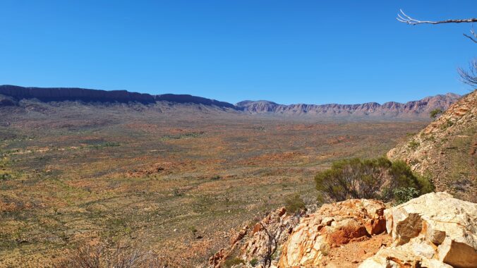
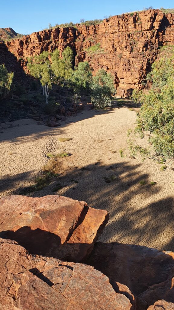
Our morning gorge walk was spectacular with views over the ranges, finishing with a saunter down the dry river bed back to our camp. This photo was taken standing on the ridge just before we descended into the dry river bed below.


Alice Springs was to be our next stop, so we said goodbye to the relative solitude of the East MacDonnell’s and drove into “Town”. We had picked a little caravan park outside of Alice to be our stop for the evening, so we got all our jobs done, and headed there to wind down for the day and make our plans for our next steps. We’d prefer to move along from Alice, because we like the wilderness and solitude, however we did relish some great great food in town washed down with some excellent coffees. Really rivalled those of the Inner West in Sydney (yes I said it).

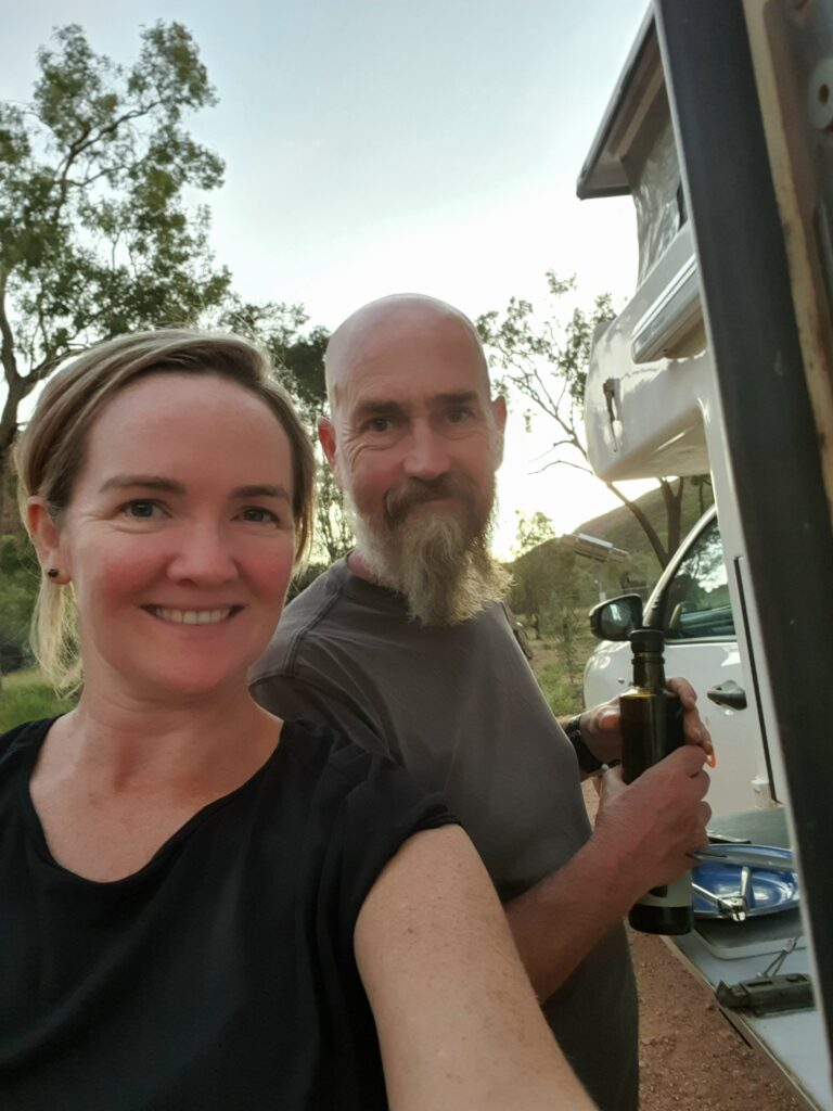
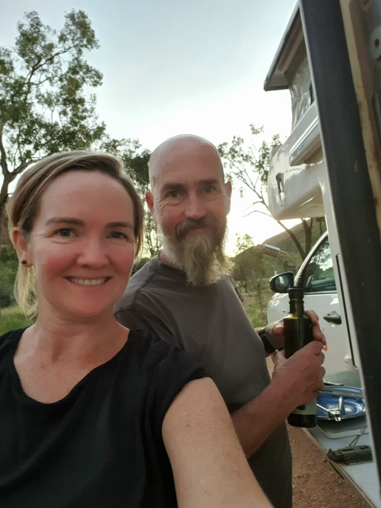
Here are our excited faces as we cook dinner and plan our next adventures.


The West MacDonnell Ranges were calling. This is where apparently most of the tourists go (according to the lonely Ranger at the East MacDonnell’s). The West MacDonnell’s have the big ticket items, such as Kings Canyon and Serpentine Gorge, as well as the Ochre Pits and are also on one of the roads to Uluru.

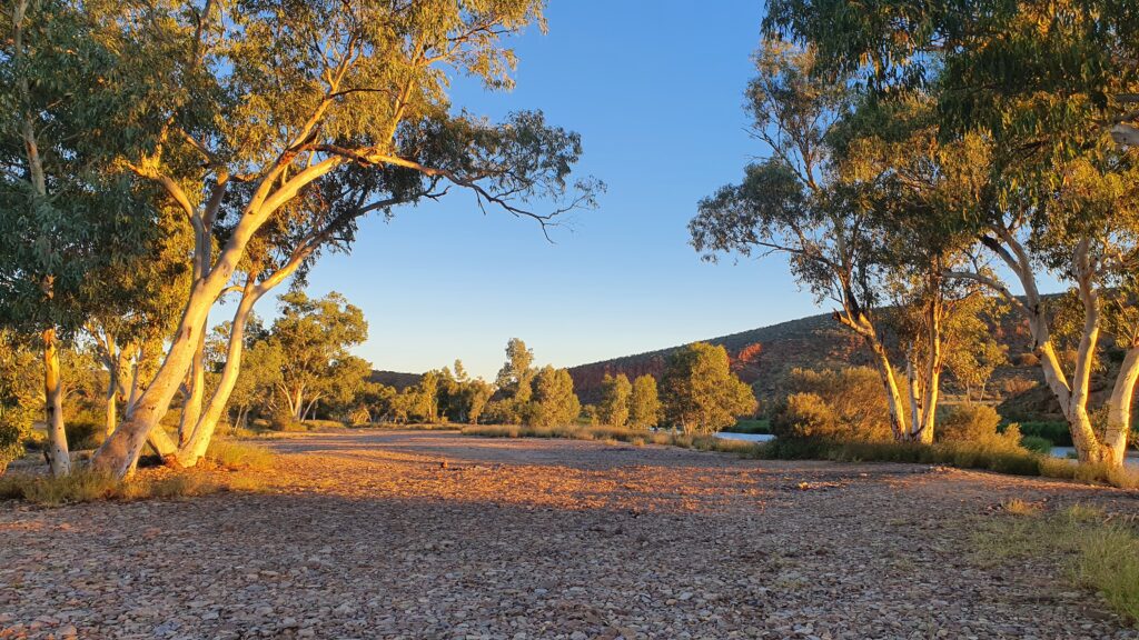
After leaving Alice, we had time to find a roadside free camp with a perfect sunset view.


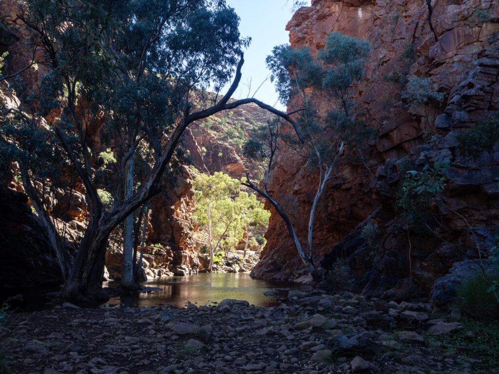
Our first stop the next day was Serpentine Gorge. The dreamtime stories say there is a snake or monster that resides in the water here, and people are not allowed to swim – this is not a safe place according to local custom. We took some photos (an example included here of the shadowy gorge and pool) and enjoyed the quiet of the place, and moved along to our next stop, the Ochre Pits.


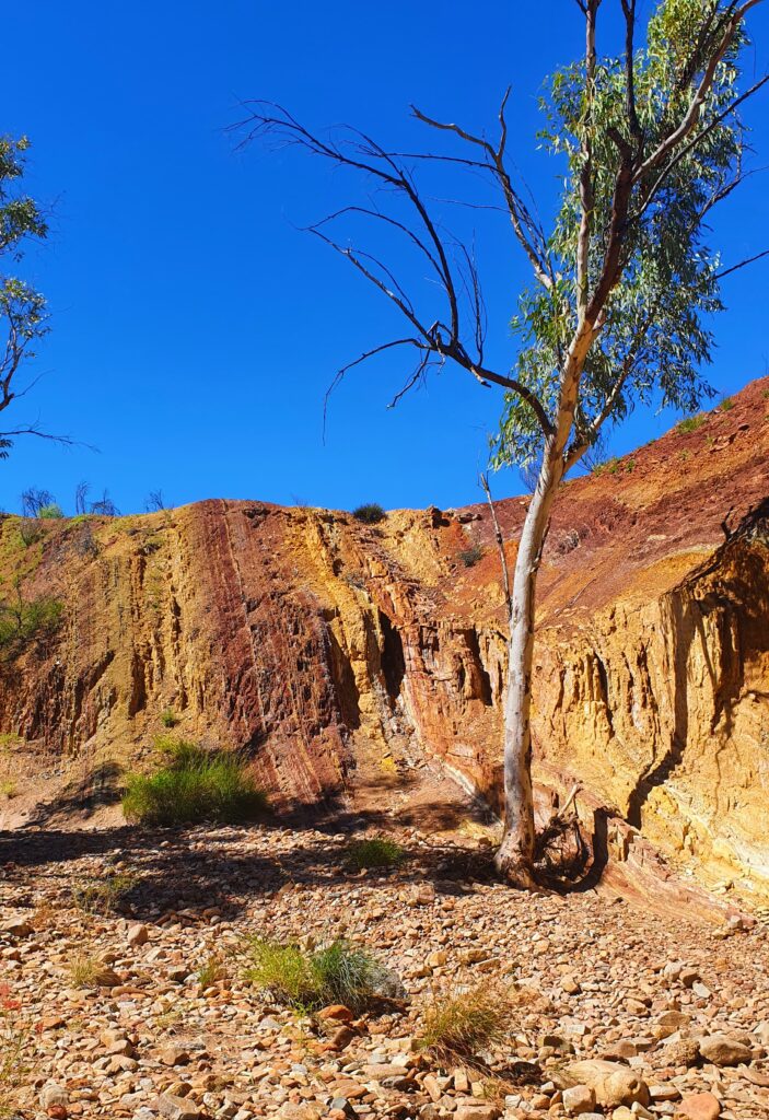
Ochre was an important resource to the Traditional Owners, using it from everything from paint, to curing ailments. These pits represent a rich source of the ochre and the colours are simply iridescent. The photos can never do it justice so I did filter this photo a little so it showed what we saw more accurately. You can see the deep red, the yellow and the lighter coloured ochres here in the vertical lines. The layers are vertical as the land was pushed up thousands upon thousands of years ago to its current vertical positioning.


Further up the road, we were hoping to complete a walk in Orminston Gorge. This gorge leads out to a “Pound” which is a large flat area surrounded by ridges. The walk was estimated at 3.5 – 4 hours, and would take us up the south side of the gorge, around the back and into the pound. Signs warned us that there was going to be swimming in cold water involved due to the unseasonal rain, however I was confident these signs were simply a left over from months before, and it wouldn’t be an issue for us. We continued through the pound, and I was so excited by the thousands of native plants, seemingly placed as if they were a specimen display in a botanical garden. Clearly here – very happy.


Towards the end of the walk, we boulder hopped through the creek bed, and eventually came upon what the signs were warning us about. The swim. We either had to swim across the river, or walk the 2.5 hours back through the gorge, arriving at the car on sunset. So swimming it was, fully clothed and fully shoed.


Making it across, with our pack and electronics dry, we were pretty pumped and headed back to the car (and a cheeky shower at the campsite here) and on to our campsite for the evening – solitude in a river bank at yet another free bush camp. Twas a rather massive day so a fire was a nice way to unwind.


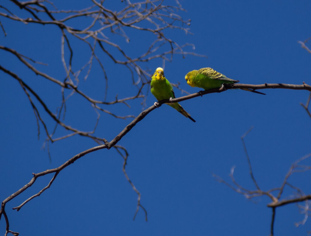
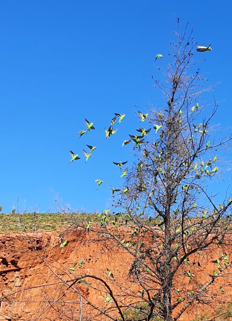
And finally, I have to mention the budgies. They are so cute and we’ve seen thousands! Adrian got this epic shot of these two lovers. Also not to be outdone, my phone shot of the chatter of budgies is below.

More adventures in the west to come as we have plans to follow the Mereenie Loop Track south through to Kings Canyon and on to Uluru. That was a bumpy ride and I’ll have a few choice things to say about it next time.

Far from the ocean – the Red Centre

By Fi

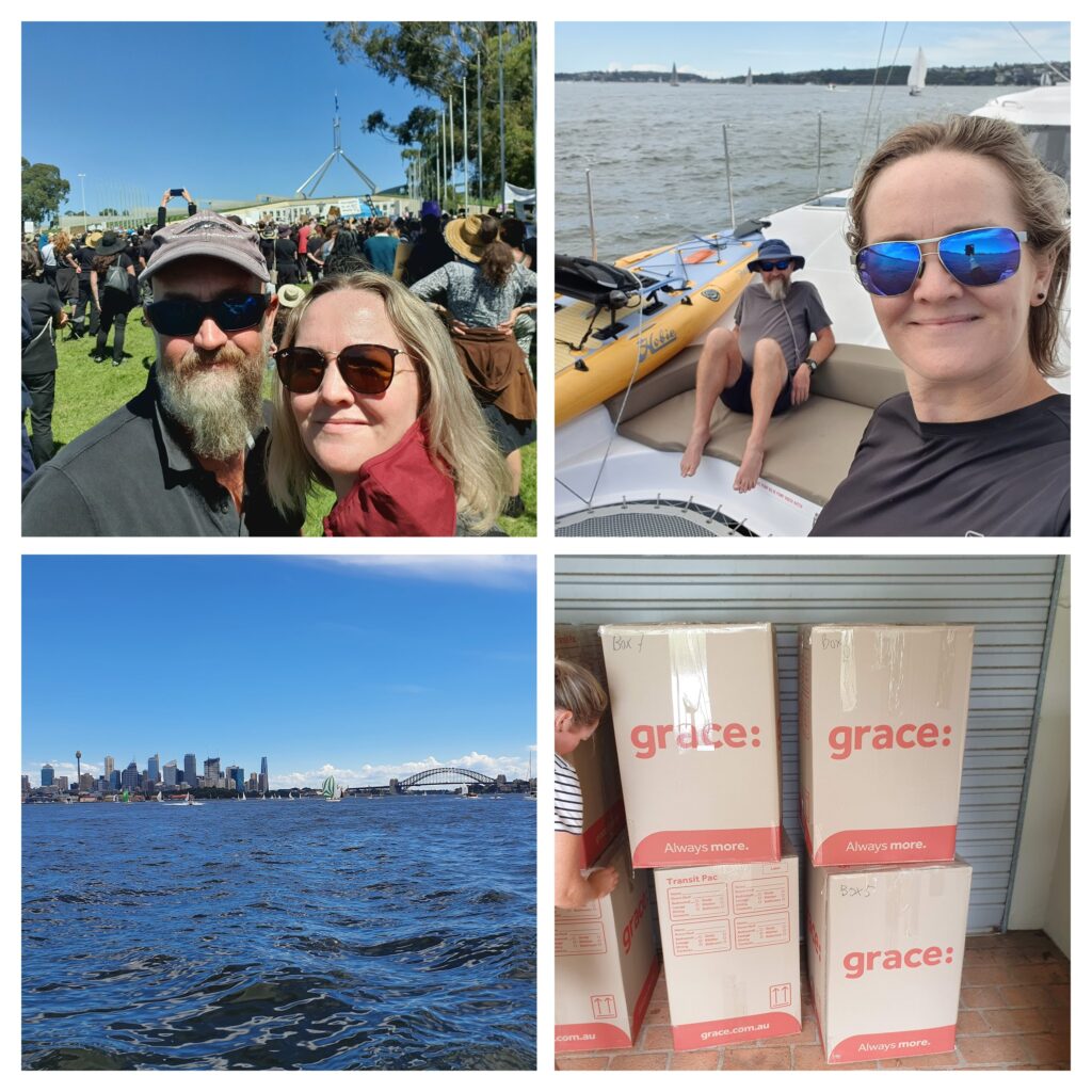
When we last blogged, we had completed our sail up and down the east coast of Australia, starting in Sydney, heading to Bowen, then back to Brisbane. Since then, we spent some time in Brisbane and on the Sunshine Coast of Australia, enjoying time with family and friends, seeing a little more of QLD, before driving ourselves back to Sydney. In Sydney we had more family and friends time, as well as the huge job of packing up our belongings, putting some into storage, and the rest in big boxes to get sent to France for our upcoming sailing adventures in Europe (more news on that coming soon!!)


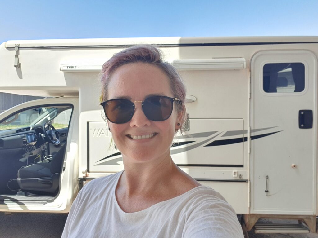
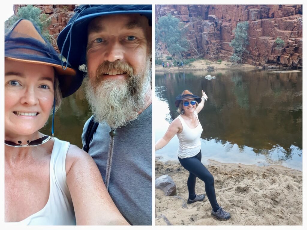
Before we head to France we wanted to see more of Australia outside the capital cities. So we hired a campervan and have a couple of months to see as much of central and northern Australia as we can. Here’s Fi in Darwin when we picked up the van. Both Fi and the van appear clean here – oh how much will change in the coming week…

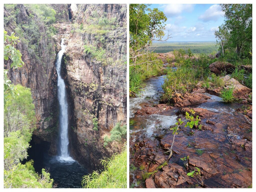
Picking up our 4WD campervan in Darwin, we drove south to visit Litchfield National Park. Stopping at the Wangi Falls, we managed a quick walk to visit the waterfalls which were stunning, before cooking dinner in the dwindling light. We are pretty used to mosquitos and sandflies from our recent sailing adventures, but nothing prepared us for the onslaught of tiny gnats and mozzies that were attracted to our internal lighting. This would end up being a theme, given we are here at the tail end of the wet, and the bugs are keen for a feed of tourist meat. Its okay, it means we are learning to eat when the sun is still up, go to bed when the sun goes down, and get up at dawn. Oh, and that the fan we bought in Darwin is worth its weight in gold to keep the humid hot air moving.


We drove through Litchfield National Park, admiring the magnetic termite mounds, and passing landscapes. We stopped at Florence Falls for one night, and enjoyed an afternoon swim in the waterhole, complete with waterfall shower. That evening, we cooked and tidied up, and were inside listening to our favourite sailing podcast before the mozzies even realised we were there.


Our next adventure was to be Kakadu. We set out from Litchfield, driving the 6 or so hours to Jabiru where the Kakadu visitors centre is located. Alas, the big wet season this year would foil our plans again, and almost everything in Kakadu is closed. We decided Kakadu would need to wait until the end of our trip, so we found a place to kip for the evening, and then high tailed it south, putting in a big day to get to Mataranka and the thermal pools.


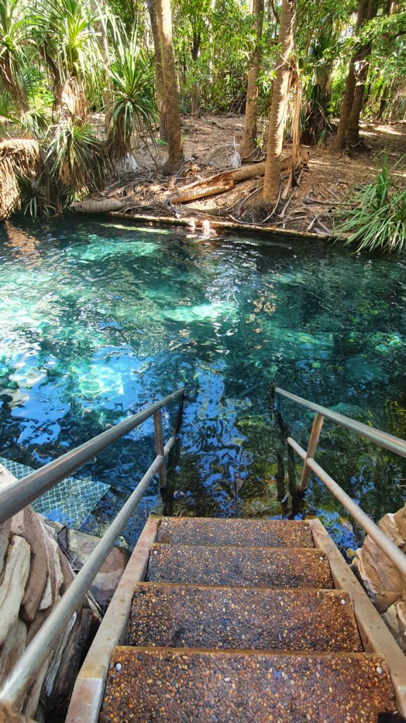
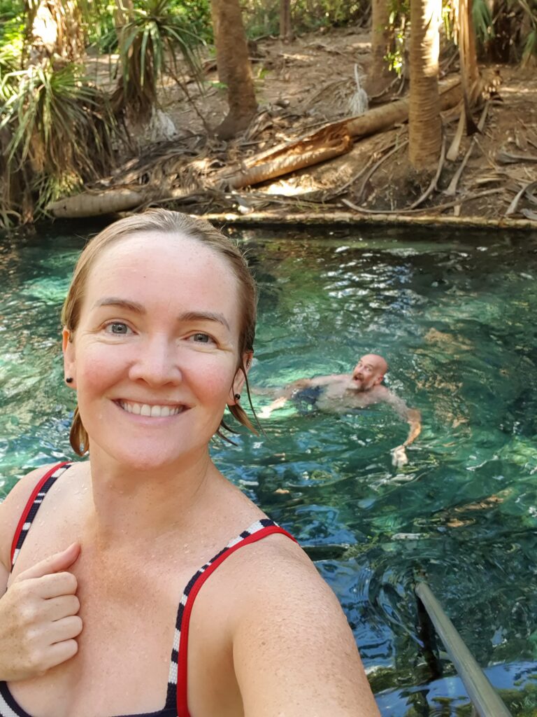
Floating in a thermal pool, at 34 degrees is a delight I recommend all partake in. Floating on my back, I stared at the canopy above, as the water filled my ears and drowned out the sounds of the other people. We stayed in the pool for a few hours, and the next morning also had another quick dip before heading further south.


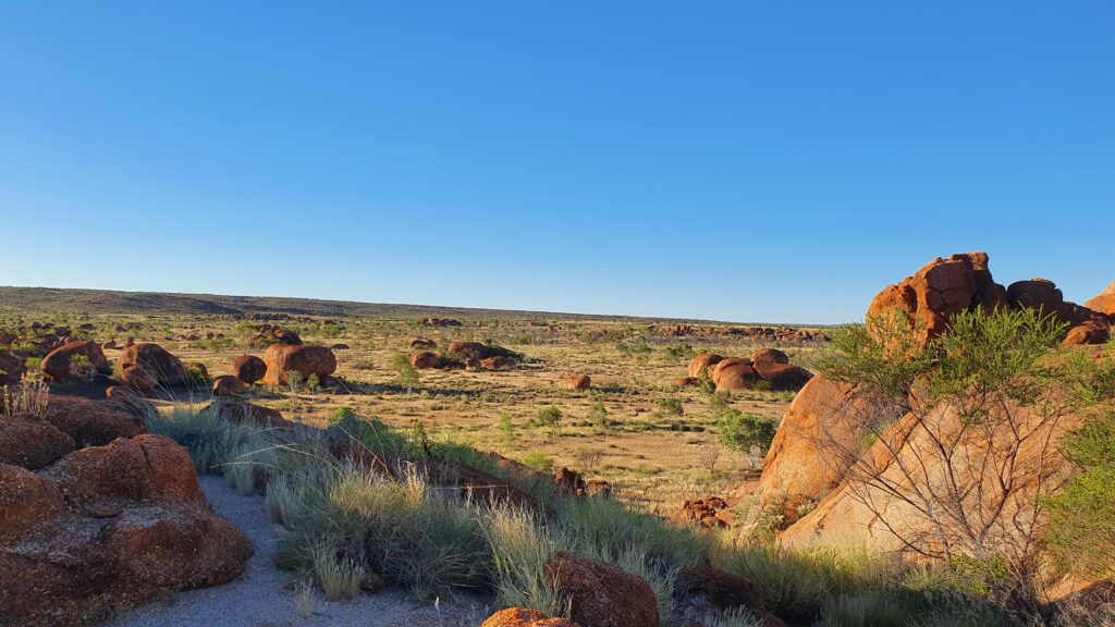
The Devils Marbles were the next stop, a spectacular landscape, red ochre, flat, except for these giant structures. We managed a walk around the these structures, respectfully at a distance of the particularly sensitive cultural areas. The photos can never do it justice.


Happily, we stayed awake after dark enjoying each others company outside the van, watching the sun set and the masses of stars light up the skies overhead. No mozzies 🙂 and the temperature dropped to such a point we both needed the extra blanket – ahhh to be in the drier, cooler climate. We’ll revisit the top end once the dry season is a little more set in we’ve decided. At dawn, we watched the sunrise while and I sipped on my freshly ground soy latte (you can take the latte sipping, left leaning inner westies out of the innerwest, but you can take the… you get the idea) and then we packed up ready for another big day driving south to get to our next exploration area – the Macdonnell Ranges.


In the coming weeks, we plan to explore the Macdonnell Ranges, Uluru and head West into WA. Keep up to date with us on our instagram (@fiandadrian) and also our facebook.

Newer posts »

© 2025 Fi & Adrian

Theme by Anders NorenUp ↑